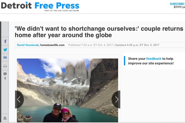
We would like to thank the Detroit Free Press and Observer & Eccentric Newspapers and a special thanks to the reporter David Veselenak for interviewing us and printing the story of our trip. We just love these photos, and we will be providing more photo galleries in the future. You can view the article at:
Coming Home
Our view of downtown Detroit from our temporary apartment
Hello kind readers of our blog
Our journey has come to an end
On Saturday August 5, exactly 330 days after we left, we boarded a plane in Christchurch New Zealand for our flight home. It was a long flight, our longest of the trip. To reach home we:
- Traveled 3 hours back to Sydney
- 14 hours from Sydney to Los Angeles
- 4 hours from Los Angeles to Chicago
With layovers, the total travel time was 28 hours, departing at 6:00 am on Saturday and arriving at 4:00 pm on Saturday, crossing the international dateline.
Boarding our flight in Christchurch
Chicago is not our home, but the home of our youngest son, who had been using the car. So, our journey did not end in Chicago, next we drove to Metro Detroit to a temporary hotel and then to a short-term apartment while we wait for our final destination, a beautiful high-rise apartment in downtown Detroit which will be ready in September.
Our welcome home dinner in Chicago
Our home, Michigan
Jet lag has hit us hard, up until now the largest time zone change we experienced was 3 hours.
This move was a 16 hour time zone change. We have spent most days turning our US life back on; finding and buying more clothes than the 4 shirts and pants that have served us so well for the last year, turning cell phone coverages back on and sorting through a year of paperwork.
Most important we have spent as must time as possible with our family.
We have plans for some final blogs that include wrap up of the costs and route and our thoughts on the places we visited.
Thanks for following us, please check back for our summary posts
Frank and Janet
Night view from our new apartment in Detroit
New Zealand South Island - Part Two
Milford Sound
A quick stop for photos
We drive due south on Route 6 again toward Wanaka, passed Queenstown, through Lumsden and make a sharp right westerly to our destination—Te Anau. This drive took 8 hours. We left at 8:00 am and arrived at 4:00 pm. The scenery was great, mountains and valleys, but Frank did all of the driving and could not often enjoy the views because the roads were so curved with switch backs and hairpins next to deep cliffs and/or rock walls. We felt comfortable traveling at 50 to 80 km/h, though the speed limit is 100 km/h. No way would we take those turns at that speed—even if the Kiwis would. Some hairpin turns were posted as low as 15 km/h with immediate acceleration to 100km/h. Janet often had her eyes closed. We were both was worn out at the end of the day.
We had these views for most of the drive, it was hard not to keep stopping for photos
In any event, getting to Te Anau by the evening was important; Don't want to drive at night when dusk comes early, need to get as close as possible to ”Fiordland National Park” for next days trip to the famous “Milford Sound”on the west coast and the Tasman Sea. We stayed down at YHA Hostel again; its corporate, not cute, but the level of accommodation is steady.
We decided to join an early morning full day tour with motor transport van and boat ride in Milford Sound. The mountains here remind of the Rockies, are monstrous and snow capped, and the threat of snow and the suggestion to have tire chains handy was a bit too much. We wanted to give the driver a break, not worry about snow drifts or landslides. It was a good decision. We signed up with ‘Fiordland Tours’ and Terry, our driver and guide was just fantastic. This was a 120 km drive and Terry gave us insight and stories along the way while we stopped at 19 quality photo sites on the trip to Milford Sound. Here are some photos of the stunning scenery of this UNESCO rated national Park. Some of the most remarkable sites are these:
1 Mirror Lake reflection of the Earl Mountains;
2 Fall’s Creek waterfall;
3 Hollyford Lookout over the valley and Darren Mountains;
4 The Chasm showing fascinating rock carvings; and
5 Gunn’s Camp visit to an unspoiled Marian Cascade.
The walks we took added to the experience.
The tunnel through the mountains to the sound
Upon arriving at the docks Terry went ahead to get the boarding passes and lead us to the best seats on the second deck gallery of this very nice boat offered by “Milford Adventurer”. It is nice to have the Captain greet your guide by his first name. The Milford Soundis surrounded by high mountains, most covered with snow and a few kissed by clouds, and apparently the Sound is as deep under the water as the mountains are tall. The sun is out today and the sky is brilliant; this only happens about 150 days a year. The boat leaves Milford and we travel the length out to the Tasman Sea. It is high tide so the water line on the rocks is barely visible.
The captain and crew where great fun, making sure they talked to everyone and gave information, including a handful of NZ jokes aimed at Aussies, generally. The captain took the bow of the boat up under two tall waterfalls where the pounding water mist sprayed over those too close. We also moved close to shore several times to view a Penguin couple snarkingon the rocks, this was the first sighting of the mating season for the crew and was fun for us. There were also seals wallowing on the rocks, with some raising a flipper as if to say “hi”. The entire excursion was just great. On the drive back, our van was greeted by “Mountain Parrots”. They are hungry birds who walk after you. These rather large birds also landed on the top of the van and used their parrot beaks to nawon the rubber gaskets on the windows. They we were somewhat intimidating, but fascinating—their spanned large wings had interesting color patterns.
The next day we left under the cover of heavy rain toward the east coast of the South Island. The goal was to reach the city of Oamaru on the Pacific Ocean by dusk. We delayed some because we went shopping, but we were on the road by 10:00 am. The center of the South Island is flat, with large pastures and only occasional rolling hills; the roads were flat and straight which allowed us the opportunity to drive FAST, ie. 105 km/h, for us. We left the rain behind. The drive was scenic but not as spectacular. We stopped for great NZ ice cream, (love rum & raisin) and it so happened a pharmacy was next door and the NZ pharmacist filled the Aussie prescription for another asthma inhaler (price NZ$34/ price US$140).
Flatter beach view from the East coast of the South Island
We next stopped in the city of Dunedin for fuel. This large, spread out city in the flat lands near the coast was settled by Scots in about 1840 and touts a well respected university. Then we drove to Oamaru but decided to exit the main highway and drive the Beach route that hugged the water and occasionally wound its way through farm lands. The views were great. We finally landed at a really cute and well supplied boutique hostel called “Oamaru Backpackers”. The shared kitchen had large glass windows that offered a grand view of the Pacific Ocean harbor, bird layden docks and breakers; the sunrise was brilliant, albeit blinding bright in moments.
A short way north of Oamaru is the small farming village of Glenavy. We would not have come to Oamaru/Glenavy but for our planned reunion with the Kiwi couple, Georgie and Patty, who we met on the Morocco tour. They had invited us to come see them when we got to their home country of NZ. Of course, Georgie and Janet had hit it off well in Morocco, and Georgie being an elementary teacher asked us to come to the class and tell the kids about our one year adventure. Janet took this request very seriously and put together a really great presentation on the computer with photos and fact pages. The 33 kids seemed to enjoy the 1 ½ hour show and they had really good questions, and really good answers. We bought snacks too. The interaction was great fun. Georgie say she will have each child select one of our traveled countries to research and report on to the class.
After the class meeting, Georgie took us to a local dairy farm where about 20 calves had been born in the last 3 days; some of them born where wrapped in warming blankets. The farmer, Rachel, was feeding the calves by pouring large, heavy buckets off fresh mother’s milk into a multi-nozzle tub that was attacked vigorously by the hungry newborns. She would allow each group to suckle separately. These calves are weaned from the moms, immediately. Then we met Georgie’s parents, and her Dad, Digger, took us around his farm to see sheep and drive to this unusual shoreline covered with large prehistoric pebbles in the place of any sand. The shear quantity of these rocks made you think about the glaciers and the force of the water crashing the shore that brought them there.
The new borns keeping warm
We did celebrate by the reunion by having dinner at Georgie and Patty’s home on 2 nights. The dessert, sticky toffee pudding covered with carmel syrup was the knock out dish on the “hello again” first night. We talked about Morocco, London, and the other places we all had traveled. They had been working in London on a 2 year visa before returning to NZ. The second night we were treated to the most fabulous leg of Lamb feast; the meat came from Georgie’s family farm still run by her dad that covers about 700 acres in Glenavy. We talked about the classroom experience and about the farming business. They insisted we stay another day to see some other sights they suggested and that we go with them to the “Penguin Walk”. We agreed; they agreed we could take them out to dinner after.
The next morning we went to the the small water side village of Meraki. On the wet shore line is a garden of unique 3-to-4 foot diameter boulders. These dark boulders are absolutely “round” with a criss-cross pattern of minerals. Some boulders have even broken open displaying the caramel colored minerals, maybe quartz, that weaves through the stone; seemingly like an adhesive. These boulders were so cool, but in a limited area; so we chose to walk the beach and take in the fresh sea air of the Pacific Ocean. We then drove to the actual hilltop where the village of Maraki sits and had our picnic lunch overlooking its fishing harbor. This was a really picturesque town with ocean view hillside homes surrounding the small business area and center park.
The next excursion was to go back and visit Oamaru’s “Victorian”city section with stores and the famous “Steampunk HQ”. The HQ is a weird mix of weird metal art meets Mad Max in a civilization that runs on geothermal steam. It's is creative, wacky, and a bit too gruesome in parts for most kids. We enjoyed sitting in the Mad Max mobiles and, especially “The Portal”, a multi-dimensional star gate—this was a blast. We then walked through the stores selling art and NZ wool. Nice area –could use some place maker signage. See some photos of having fun at the Steampunk HQ.
At dusk we went to the penguins walk exhibit, where the little critters returning from feeding areas to their nests jump out of the surf and up onto the rocky shore and then waddle passed the seating area. We saw penguin! In any event, we had dinner reservations so we left early. We visited an 1867 pub called “The Last Post”, and all of us had wonderful meals, including fresh Blue Fin caught that day near the harbor. Patty had to attend the volunteer firemen brigade meeting back in Glenavy, so we called it a night and said goodbye to gracious hosts and new friends.
Birds on the pier outside the penguin site
We left Oamaru by 6:30 am to drive to the second largest city in NZ, Christchurch. It was dark, but the roads empty. We had to turn in the rental car by 10:30 am, so we drove faster than usual, about 105-110 km/h, especially since its is a flatter valley with straighter roads.
We made it, with ½ hour to spare. Our Dorset House Hostel was only a 15 minute walk away. All was easy.
Christchurch is an interesting city. It is still recovering from the 2011 earthquake which damaged 80% of the town center. But, the folks are working aggressively to rebuild the structures with modern methods using steel cross-support girders and replaceable glass. The city looks modern. The city also has many buildings, including a large cathedral, with collapsed walls and roofing. Cleverly, the council allows the painting of street murals to hide and avert eyes from the damage. We enjoyed walking the city and took a on and off trolley around the center core. See some photos showing the damage.
On our last day in NZ we decided to "Tramp" in a national park outside of the city. We took a bus to the trail head and then walked the Ells Walkway on the Crater Lake Rim aka "Rapika" trail. We ended up doing a 9 mile loop which got more difficult due to mud slides from recent storms. We enjoyed having lunch at a summit local which overlooked the valley and water inlet; it was really beautiful. We then hooked up with the return bus and went back to the Dorset House where we picked up our luggage and went to another bus stop at the corner to ride to the airport. Actually we where staying at an airport hostel called "Jucy Snooze". The friendly bus driver made an extra stop to drop us near Jucy. Snooze; short walk , new complex, 10 minute walk to the airport terminal which was a good thing because the flight left a 6:00 am.
On the way home
We flew Quantas Air to Sydney, Australia and then after a 3 hour layover flew American Airlines to LA, then after a 2 hour layover we flew to Chicago. The entire trip time was 28 hours. Now, back to reality in the USA. We will give some future updates and impressions in the near future. See you all soon. Frank and Janet around the planet.
Our last view of the trip
New Zealand South Island-Part One
Frank with the graveyard behind him
We landed in Picton and stayed at a hostel with a graveyard motif, situated right next to the port docks. It was called Tombstone Hostel as it was actually next to a graveyard. The facility was fine and they provided freshly baked ‘Scones” for breakfast, an added plus. We had fun there spending time talking to a certain New Zealander who had driven his 1970’s MG convertible from Christ Church to Picton with the plan to cross the sound and visit the North Island. Ryan had visited the USA in the past and his stories and history lesson about NZ made for some fun as we drank red NZ wine—which is very good.
View of Picton harbor from the beginning of our drive
Our goal was to go south by following Route 6 from Picton to the west coast of the North Island which is renowned for great shore cliffs, mountains, valleys, hiking paths, and national parks. The photos of these places will tell the best story. The route is topsy-turvy. We started out driving south, then west, then north through the cities of Nelson and Motueka on the Tasman bay. Many cities are bestowed with Maori names which probably have great definitions that we don't know. Nelson was a very cool middle sized city, kind of like Traverse City, MI, and hailed as one of NZ’s most livable cities, but smaller Motueka was the gateway to the Abel Tasman National Park which had the sandy beaches and the islets in the Tasman Bay, as well as small mountains piercing the waters shore. We took our time on this drive, stopping for a quick hike on one of New Zealand's many marked trails and then lunch in Nelson for the famous fish and chips.
In Motueka we stayed at another hostel and the next morning we took a motor catamaran for 1 ½ hours to the trekking drop off point and started our 14 km trek in Abel Tasman National Park from the beach to the forests to the foothills, viewing the various inlets and small beaches from high land above. Abel Tasman is one of the 9 great treks, even thought we only went for a day, the trek was invigorating and beautiful.
The next day we drove straight to the west coast. The landscape is again breathtaking, hills and valleys, almost no towns. On our way we stop at an out of the way camp site with the “ Old Ghost Road" trail”. Here we trek 3 hours just for the heck of it. Interestingly, this trail parallels a river which is on public lands that allows “Fossicking” without a permit. Any person can come on this public land and “sift for gold” in the river water. We did not see any glittering minerals, but we enjoyed the glistening river current. New Zealand also has marked picnic areas on the roads. The areas are as small as one picnic table and larger with clean toilets.
We arrived later in the day to Punakaiki on the water. The water blasts with the most violent currents and crashing waves that assault the shoreline cliffs. As we drove on the winding two land road to the shore we were stunned by the rock formations that where being beaten by the waves—no surfing here. Punakaiki is also the home of the “Pancake Rocks” and tidal Blowholes in the Paparda National Park. We walked to the shore to view the carved up and stacked rock formations that look like pancakes and see that the wave action is so violent that the pressure causes the water to spout up through the rocks, ie blowholes. This is a massive area where “Mother Nature” is just explosive. See our photos below
The next morning we did manage to get down to a cutout beach area we followed a trail from our Hostel, but we did not dare to go to close to the water surge. It was fascinating place.
The beach, it is small rocks, not sand
The next day we waited out some rain at our small hostel and then took a 3 hour trek on the Paparoa National Park trails into the neighboring rainforest and foothills, and over swinging bridges. On this trek we were surprised and graced with the company of wild mother goat and 2 calfs. You know there where no indigenous mammals in NZ (except bats) so no worry about bears or cougars in the forest. We also had horses in the road on the way out of the trailhead. In this country we have decided to trek at least 2 hours per day (5 KM) in every place we land.
Back on the road, south to City of Franz Josef (named for the Austrian Emperor) and the Fox and Franz Josef Glaciers. These ice formations are in the Westland Tai Poutini National Park. Again the drive is breathtaking and it is hard not to stop every few minutes for photos.
The road to Franz Joseph
It was dark when we entered the city of Franz Joseph and stayed at the YHA Hostel chain that is available all over the world. We do not have the $25 membership, but it was still cheaper than any other accommodation; NZ housing and food is very expensive and we don't fuss much.
The sunsets and sunrises in New Zealand are beautiful, full of pinks and yellows, this one was on the road
We decided to trek to both Franz Joseph Glacier and the Fox Glacier on the same day. We started Franz Josef first. The walk is easy and marked. The pathway takes you to a heightened viewing point of this shrinking Glacier. Franz Josef is largest of the two sites. We are cordoned off from getting too close and being exposed to rock falling or ice.
The trek to Fox Glacier is more challenging and we believe far more inspiring. The Fox trek is through a long and wide riverbed of rocks and pebbles with running streams, carved side walls and steep pathway inclines. There are signs-“ No Stopping”—so you don't become targets for falling rock—or—is it a command to keep tired trekkers moving? In any event, the path to the FoxGlacier makes you “earn” the experience. The Fox Glacier fills the valley entrance. It is impressive but not overwhelming like the glaciers in Argentina that we saw. It is receding and has been receding for decades. Photos from 1800’s show the now massive loss of ice. The locals suggest helicopter rides to see the length of the both glaciers, but we are satisfied with our effort and pathway to the sight. This is our last day at the glaciers. We will travel further south tomorrow.
New Zealand North Island - Part Two
New Zealand has “Nine Great Walks”. For the full walk experience you must spend several days on the trail staying at huts along the way. Frank and I decided early on that we would forgo the multi-day tramping but would go to several of the great walk sites for day treks. Our first walk site is the Tongariro National Park. The park is famous as a filming location from Lord of the Rings and is home to “Mt. Doom”. As geeky as we are for Game of Thrones, we are not LOR fans so no need to follow the footsteps of Frodo and Sam.
The hike to the falls (also the way of Frodo and Sam)
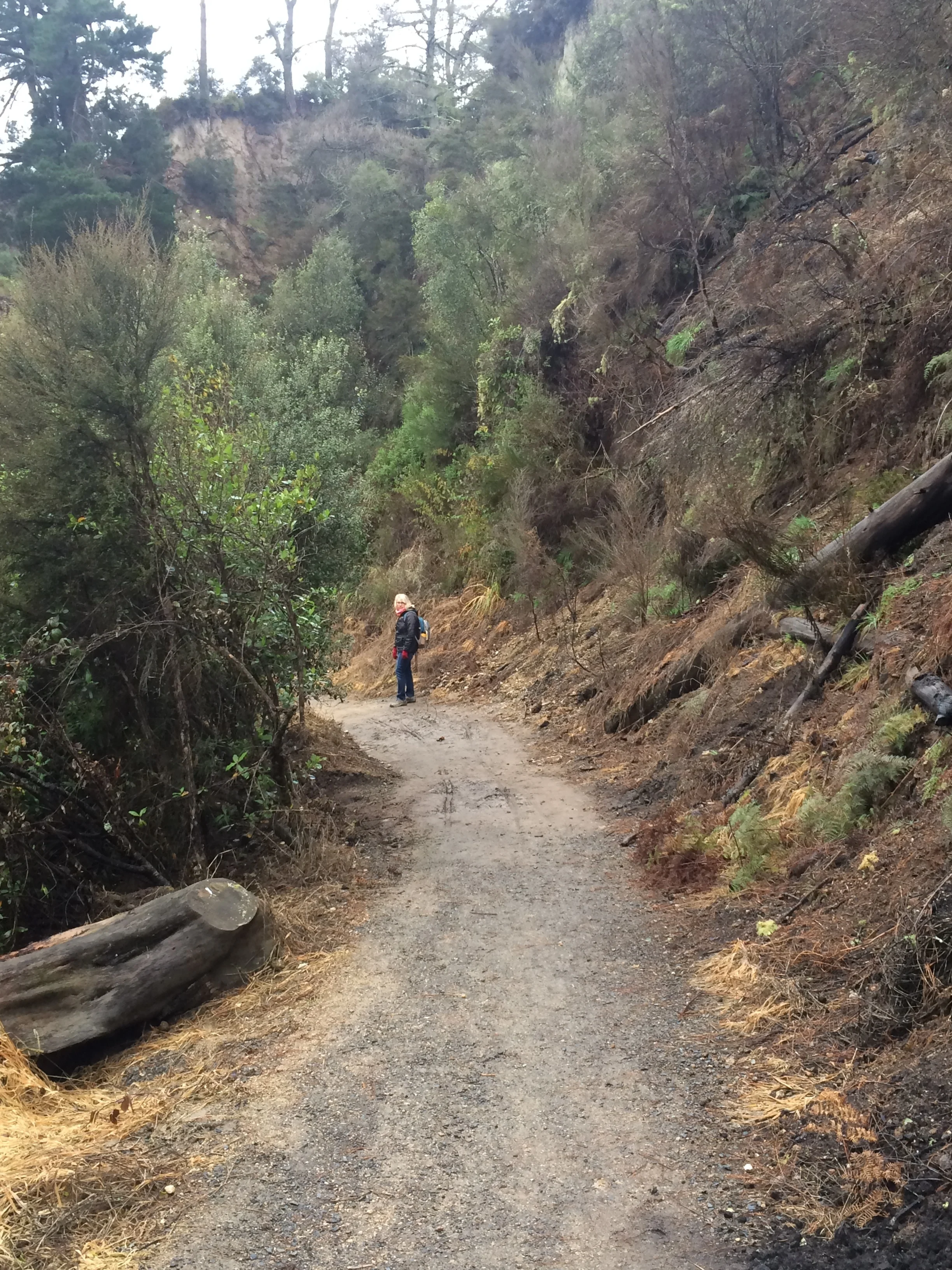
The weather turned from bad to worse and by the time we got to the park we downed our full rain gear and settled on a 7-mile trek, to a waterfall and back. This might be our 20th waterfall and after Iguazu Falls in Argentina and Brazil they all look small. But the walk was good and the landscape was different than we have seen, all colors of browns and red. We had a good time, got soaking wet but all in all a nice outing.
Wellington
Our guide and group
Janet and I arrive at Wellington at night. The wet curvy roads and the oncoming headlight reflections make the drive into town tedious. We find the high rise serviced appointment just before reception closed; thank god as the directions to the parking structure and mini ramp would have been indecipherable. We squeezed our little compact around the circle ramp with out a scrape or grind. The apartment was angular and weird, but well equipped and had an open balcony. The next day we went on a walking tour of the city. The guide was a longtime resident and a professorial type. Our lone companion traveler on the walk was from California—he had gone NZ—wearing light sandals only on this cold wet day.
Pano of the harbor
Wellington is the capital of NZ, but at 200,000 people much less populated then Auckland. It suffered a 7.8 mag earthquake on 11/14/16 and many buildings have been vacated until funds can be allocated for interior structural repair; the exteriors seem in one piece to the naked eye with the exception of the fences surrounding them and the massive amount of building going on. This city is the center of government; the city has many ministry buildings, the most remarkablebeing the Parliament Building, called the “The Beehive”, and the Supreme Court, with its glass exterior and decorative metal sculpture on 4 sides and the circular court chamber where the walls are covered with angular copper; very cutting edge. There aregovernment buildings saved and on display from the 1800’s—usually all wood construction made to look like stone.
The original written treaty
We enjoyed some historic context. Our tour took a quick trip into the Wellington Library where we were treated to viewing the actual written treaty between the British crown and the Maori tribes, numbering about 400 separate tribes. It has deteriorated to large extent on the signatory section, but the terms are in place. Then we went to one of the first Anglican churches made of wood with the roof supported by an interior truss system like a sailing ship. There, hanging from the ceiling were 2 flags: the Stars and Stripes, and the red US Marine Flag from the 1940’s. The Kiwis had great respect for our US marines as many were stationed in NZ before being sent to war in the pacific to fight Japanese, who also threatened NZ. The story goes that certain marines wanted to go to church before shipping out. Accompanied by officers to ensure order, the marines arrived at Saint Paul's and were greeted with such affinity and warmth that in the next weeks hundreds of marines visited the church and were treated to home cooked meals and fellowship so far away from family.
The flags in the church
The mechanical clock, a gift from England
We enjoyed watching the old Wellington mechanical clock, still working, open like an onion and turn its painted mural story boards of historic events; very unique and cool.
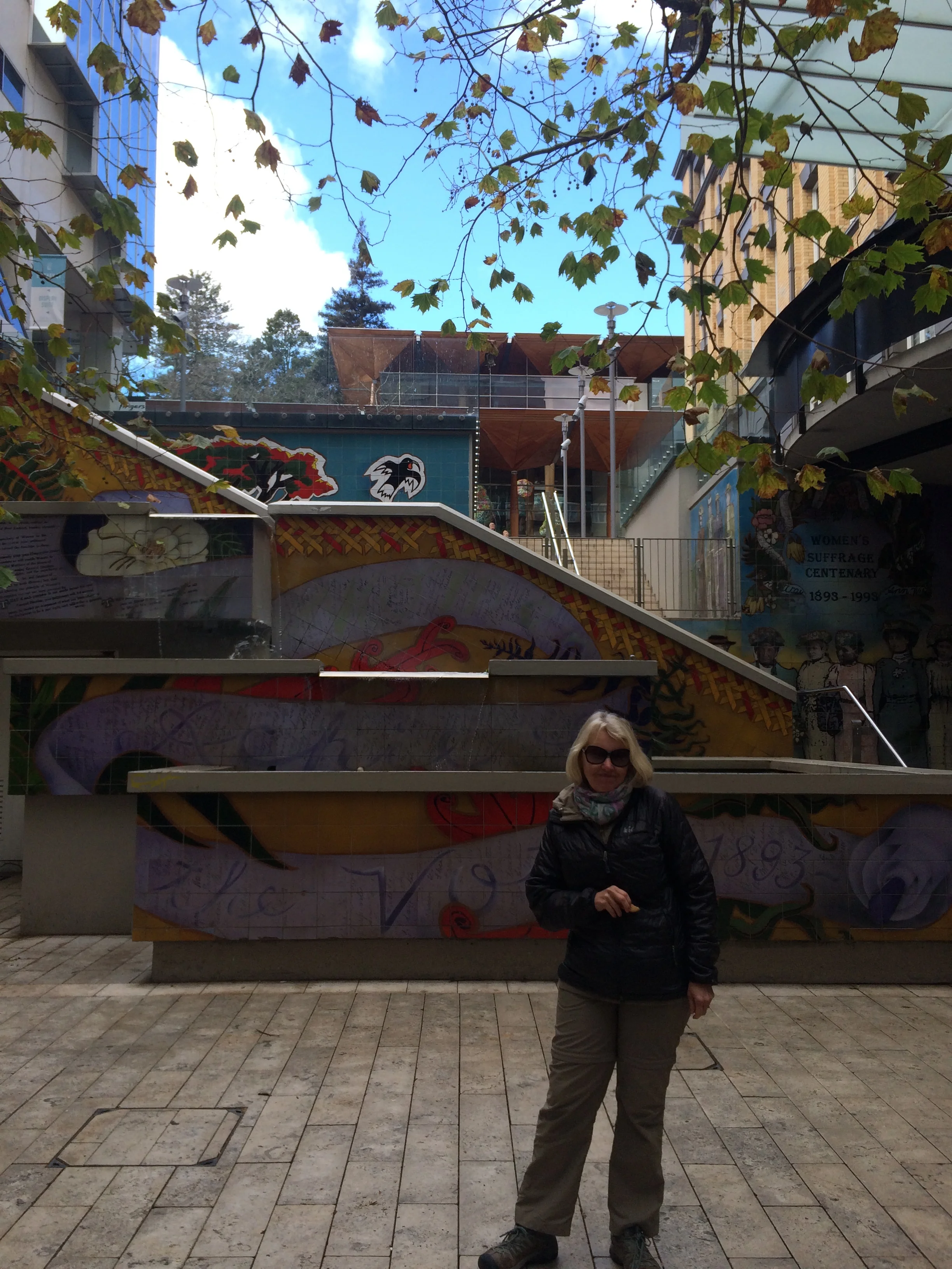
The city has welcomed a thriving art community. The waterfront is decorated with contemporary sculptures influenced by the Maori culture. Throughout the city other modern sculptures adorn the streets and parks; the theme usually relates to historic figures or events, but some social commentaries. See some photos of the art.
Later in the afternoon we visited the Wellington historic museum.
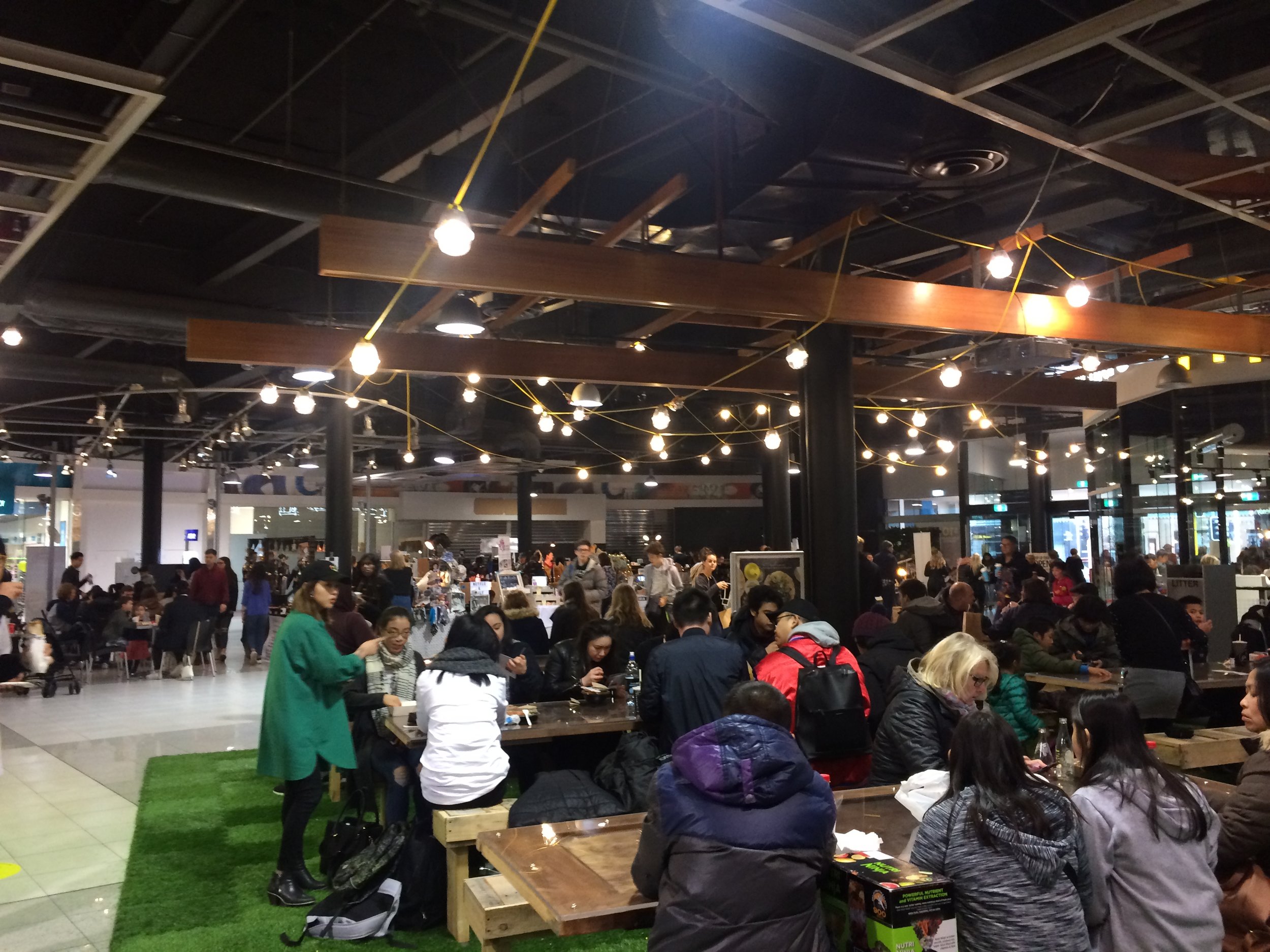
First, we walked across the street to a really cool indoor park with pop-up food stalls for lunch, then we went to the museum. It was very similar to the museum in Auckland but bigger and free!!
Later we returned to the indoor park where the cinema was upstairs so we decided to rest and saw the movie “ Dunkirk” for $10. Love Tom Hardy as RAF pilot.
Our ferry boat
Janet on the boat, trying to keep distracted from the ride
Ferry ride. We left Wellington and the North Island on the large Blue Ridge Ferry. Park the car and take an interior seat for about 3 hours as we cross Cook’s Crossing” to the South Island port of Picton. The captain announced “only minor swells” on the route. But, we thought it was rocking way passed our tummy comfort zone—a couple Dramamine too late—we just closed our eyes for awhile—another mistake—then watched a Netflix movie we had downloaded. All ended well; No bad outcome and we landed in one piece.
View of Picton as we land on the South Island
New Zealand North Island - Part One
Auckland
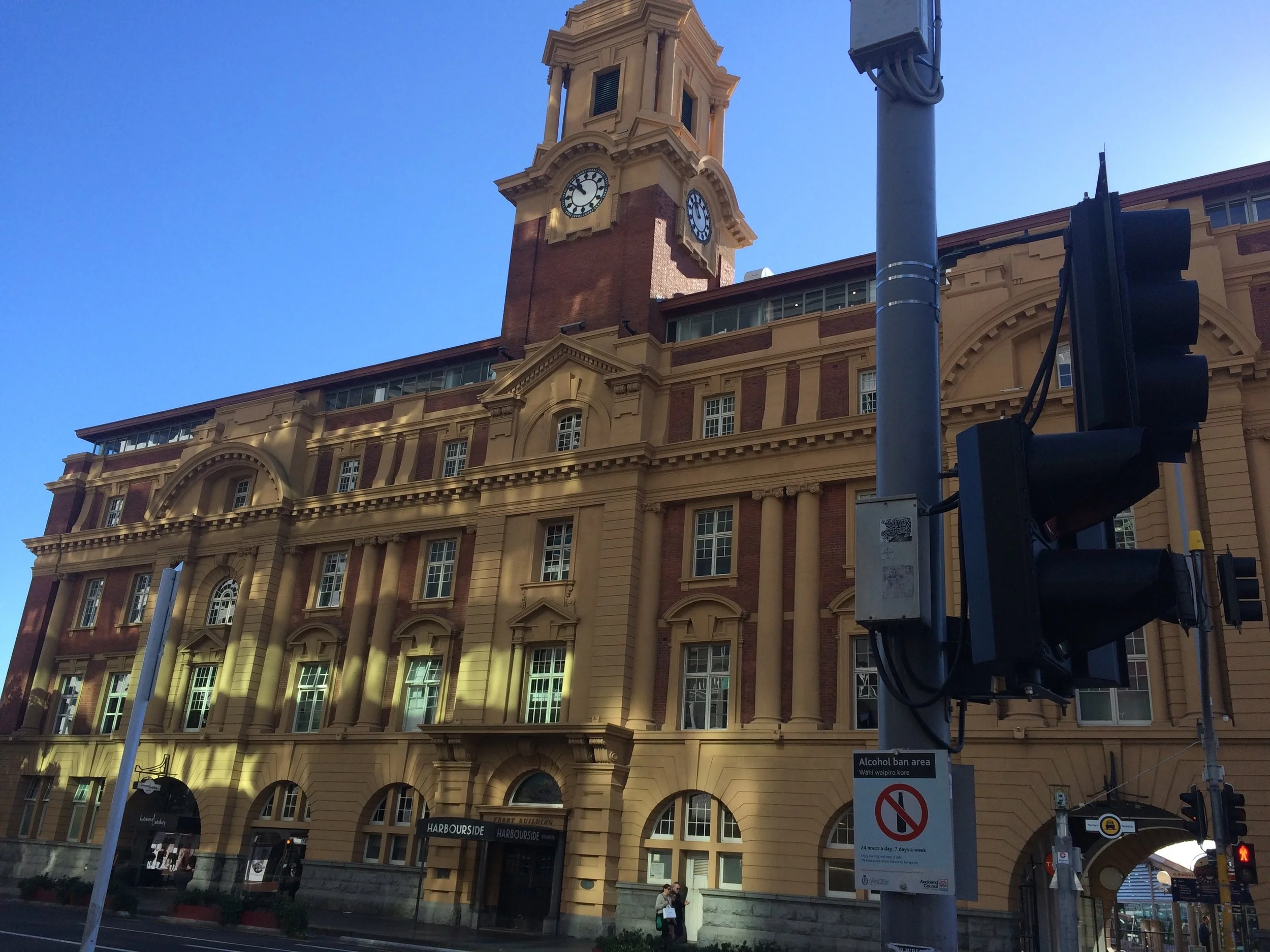
New Zealand is our final country to visit on this almost one year long journey. To our surprise or naivety, upon landing in Auckland, north island, we first realized there is a very large Tribal population of indigenous peoples that first immigrated to NZ 1500 years ago from the islands of the Polynesian culture using large wood catamaran canoes, following stars and tide wave action. They are called Maori. These same Polynesians immigrated 1000 years ago to Rapa Nui (Easter Island) which was at the beginning of our adventure. You might remember, we flew 4000 miles from Santiago, Chile, to Easter Island to see the Maori culture and statues. Our trip and cultural experience has come full circle. We spent time at the Auckland Museum looking at the Maori history of habitation, culture, and society.
Frank at the Auckland Museum
Now in Auckland, we can enjoy another country that became part of the British Commonwealth at the urging of Queen Victoria who feared that France would claim the islands after a surge of missionaries and traders. It was the French that brought Catholicism to NZ; the Brits were Evangelicals.
Frank at Price Albert park, Queen Victoria's statue in the background
Auckland is surrounded by bays; the greenery of the countryside can not be ignored. We first saw the criss cross patches of green from the plane. The city has a population of about 1.5 million and is spread out around the bay. Most living quarters are single or double storied. People strive to own their family dwelling. There are high rise buildings in the central business district interspersed among the traditional structures and historic streets. We chose to skip hotels and high tech living and return to more rustic accommodations.
View of the harbor from our Hostel
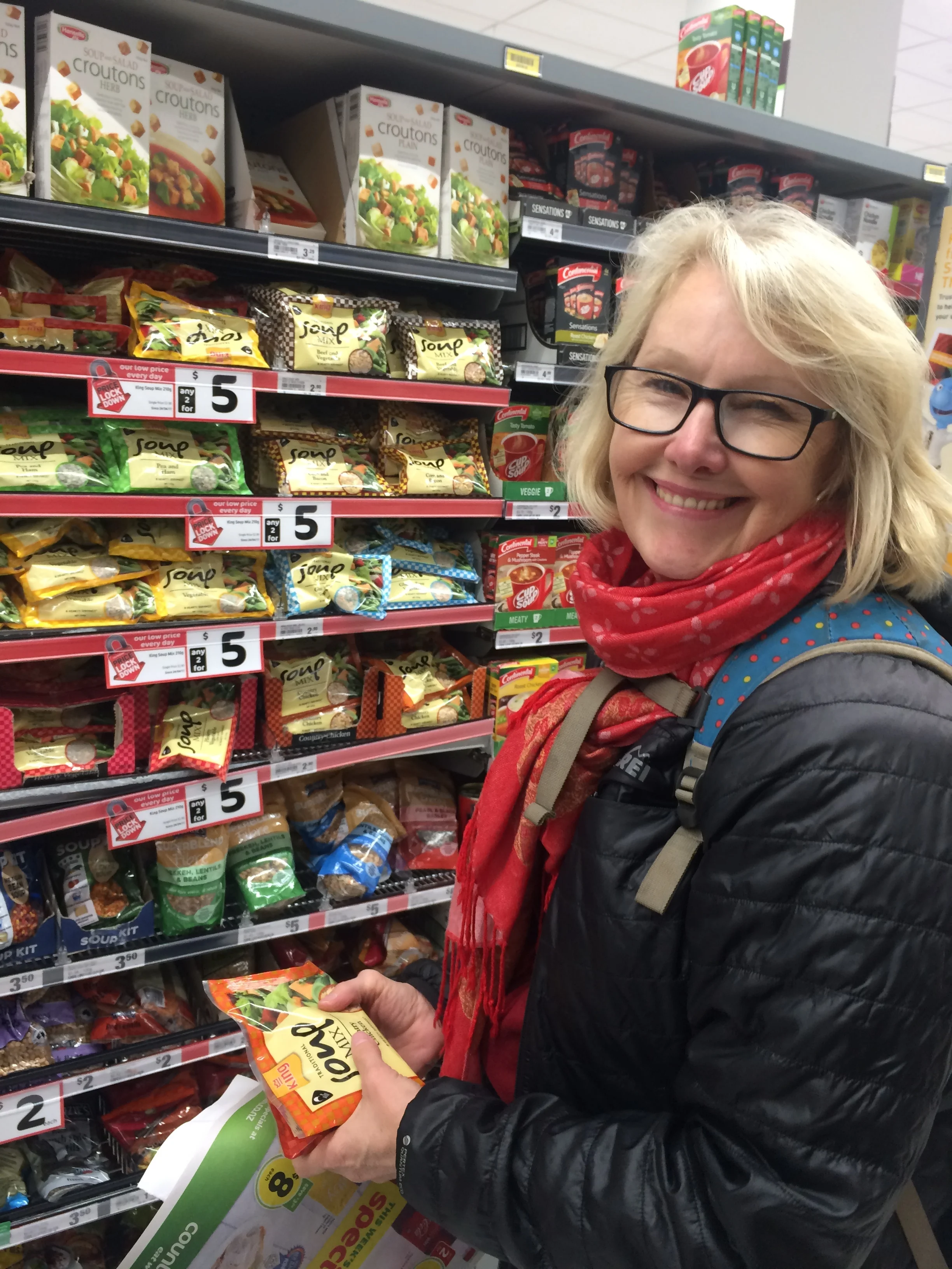
The Verandahs Backpacker Hostel was great; it was a throwback to the really great hostels we had in South America, except for the cost, $70 for a shared kitchen and bath. Centrally located, we could walk around the University of Auckland and the Auckland University of Technology (AUT). We took the public bus to the waterfront to get our Free Walking Tour; not the cheapest transit, $7.50 one way. In fact, NZ is expensive for travelers—equal to Australia—and both are the most expensive places we have visited; more than France or Germany.
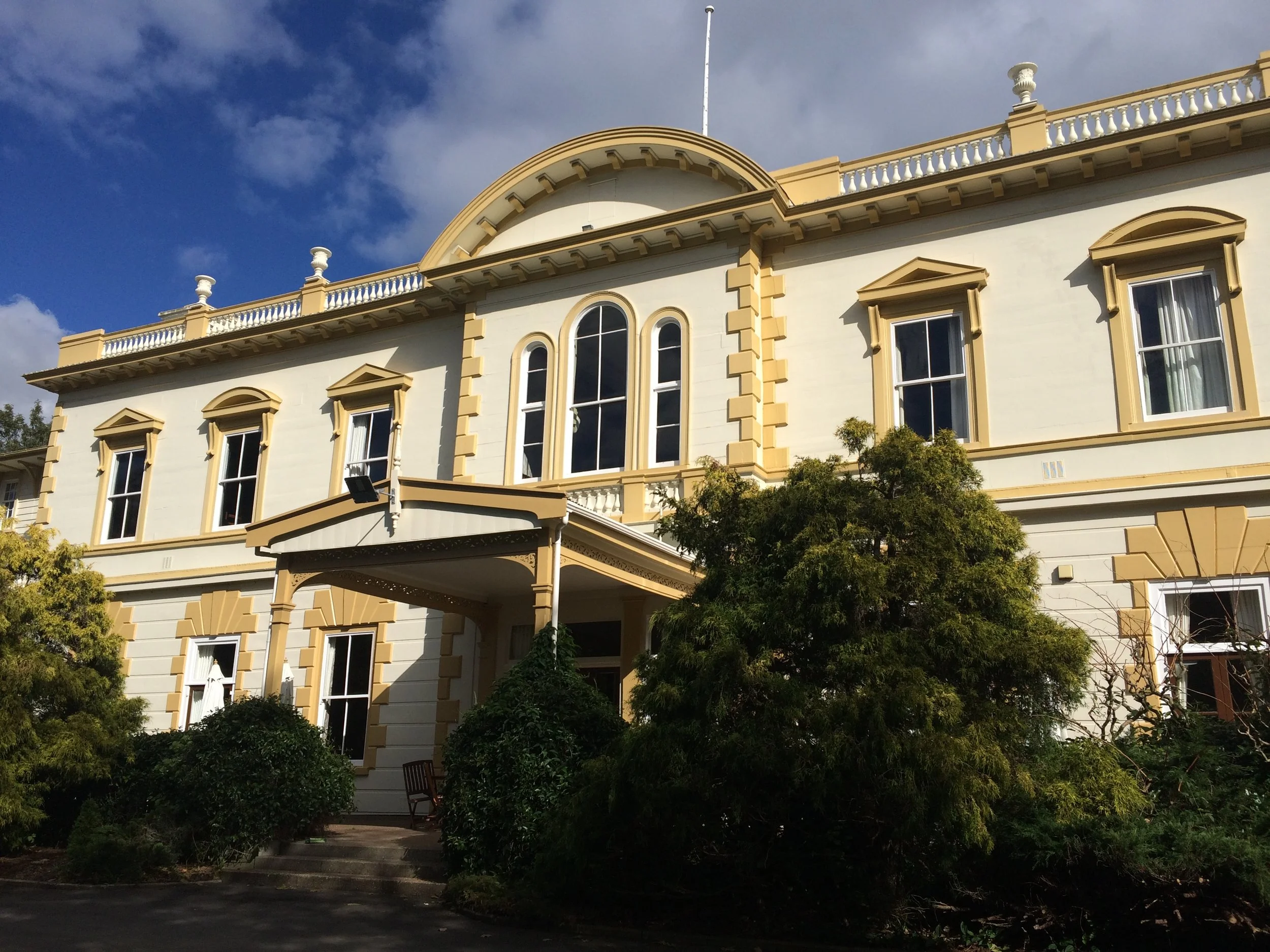
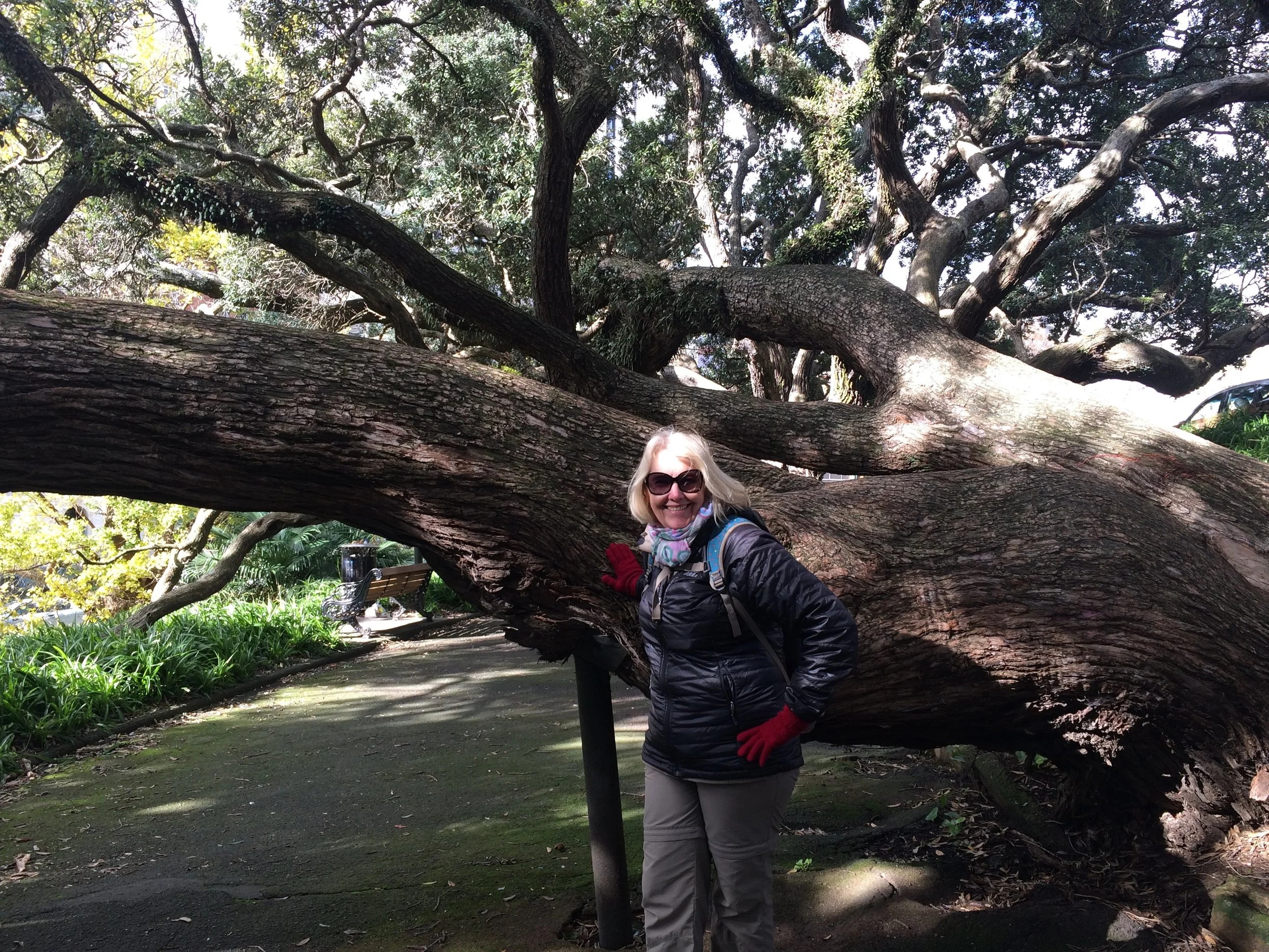
The walking tour was interesting; our guide Olivia was energetic and passionate about her city. Auckland works hard to preserve its older buildings, designating many for level 1 and level 2 protection; L1 = no changes, and L2 preserves the façade but allows interior changes. Auckland also tries to protect the indigenous culture of the Maori, who were represented by about 400 separate tribes in NZ when they came to a treaty with the British. We are told 700,000 ancestral indigenous still live in NZ. Auckland is also has an ECO friendly “green”philosophy. The city is installing the first subway, admitting that everyone still has a car to travel the rural roads. The gardens and parks around the city are filled with the most incredible trees. But you can not imagine the splendor of the landscape until you drive into the countryside.
Rotorua
Frank driving our compact car on the "proper" side of the road
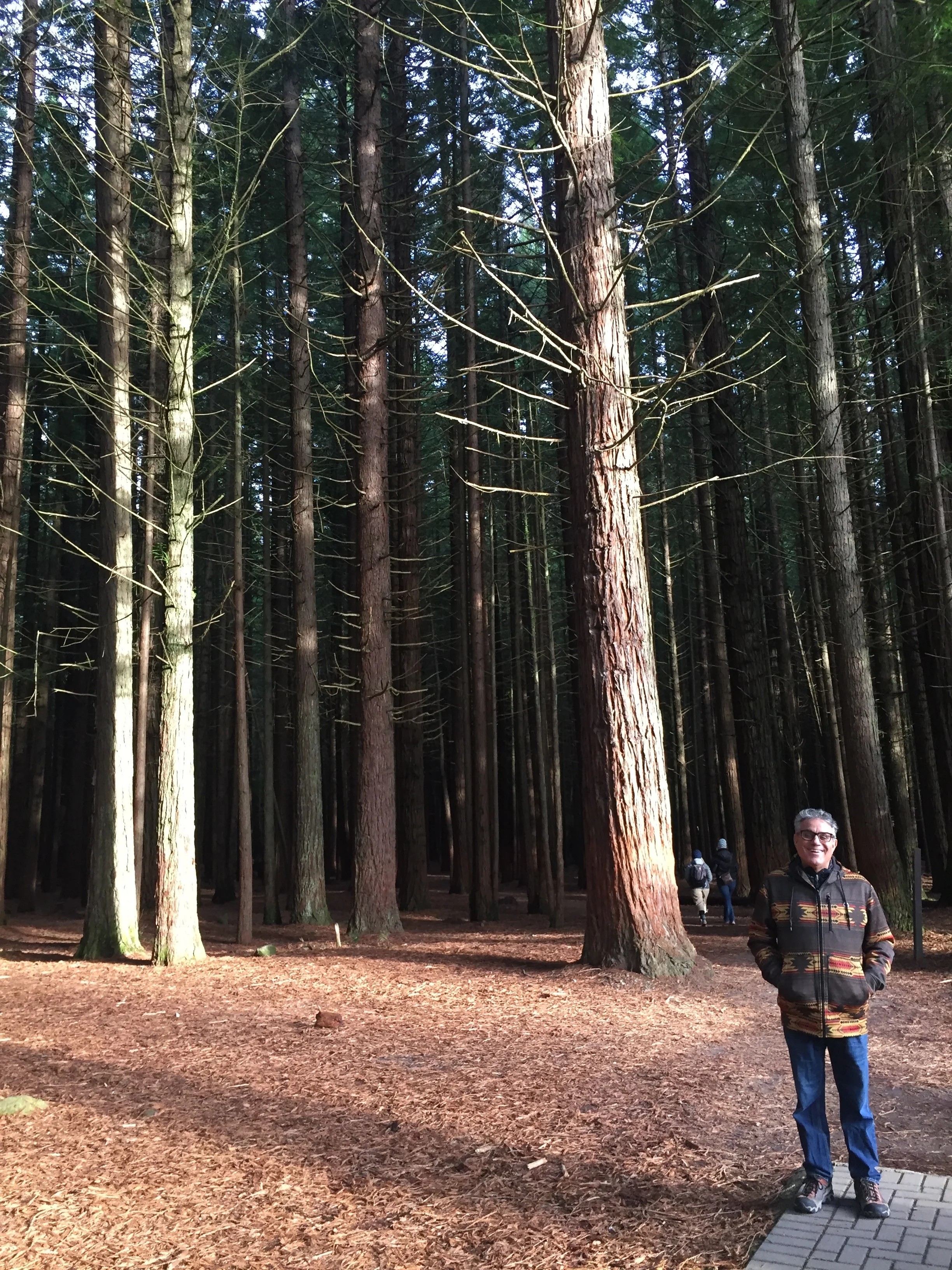
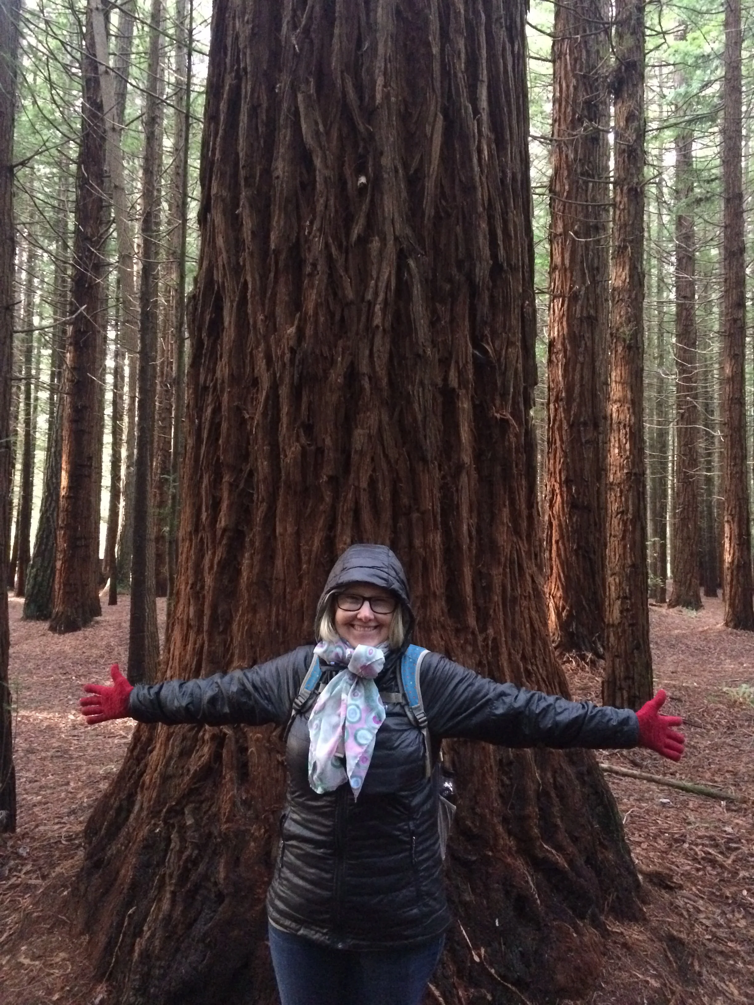
On our second full day in NZ we rented a small compact to drive around this country; first the Northern Island from Auckland to Wellington, then ferry across the sound to Picton and drive around the South Island to Christchurch. This is the first we have driven since back at Chiloe Island, Chile. Here, they drive on the left side so the steering wheel and shifter are on the reversed side. At first you have to pay close attention to their well marked signs and think about the turns, but after awhile you can be calm; noting that this country has a relatively small population and many miles of empty roads. Our first road trip was from Auckland to Rotorua. It was a five hour drive. We stayed in town at the Rock Solid Backpacker Hostel, another good one. As soon as we arrived we went to the Redwoods Forest, what a great place and hike, see our photos below. We decided to stay an extra day to drive to some out of town sites.
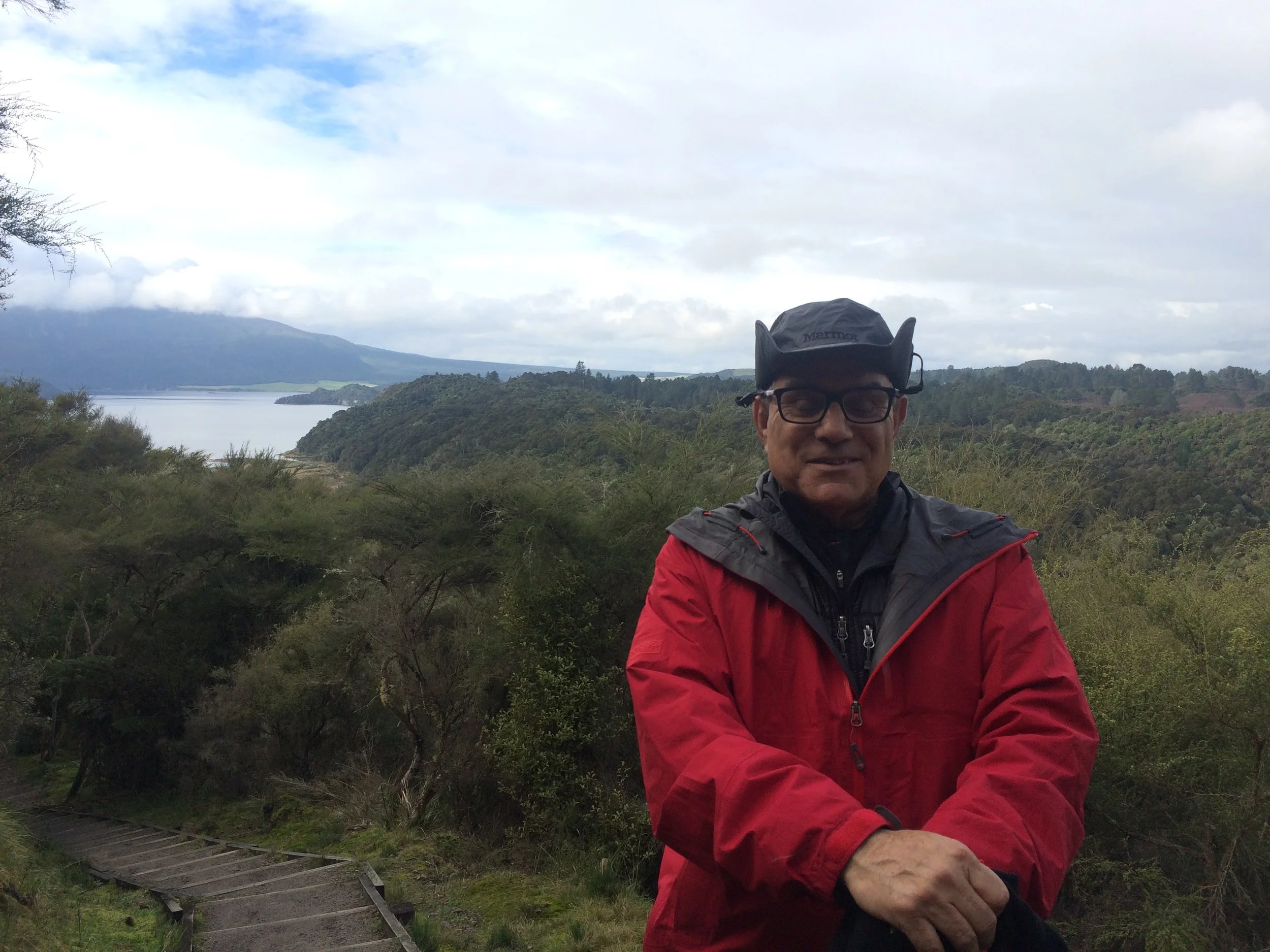
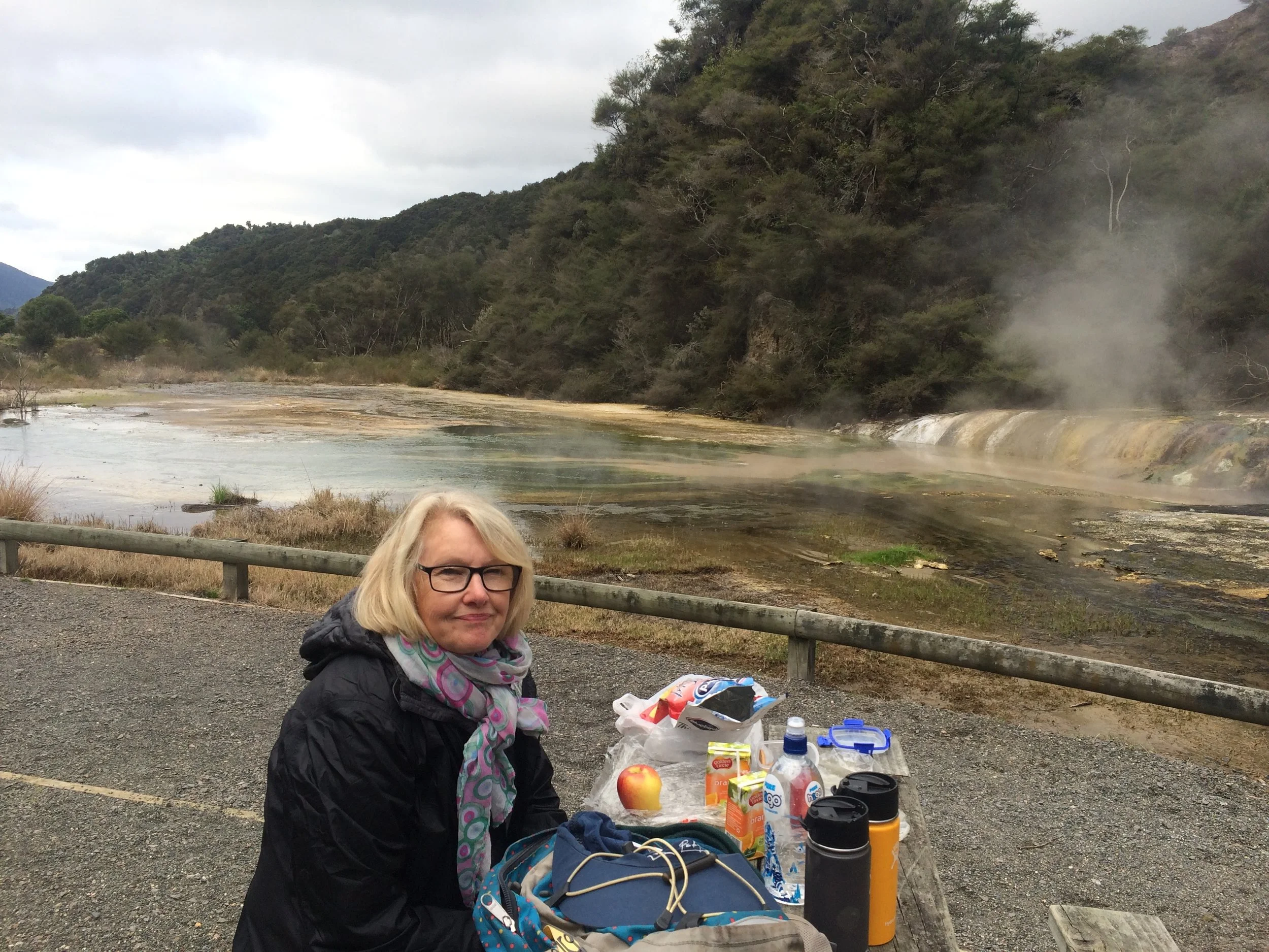
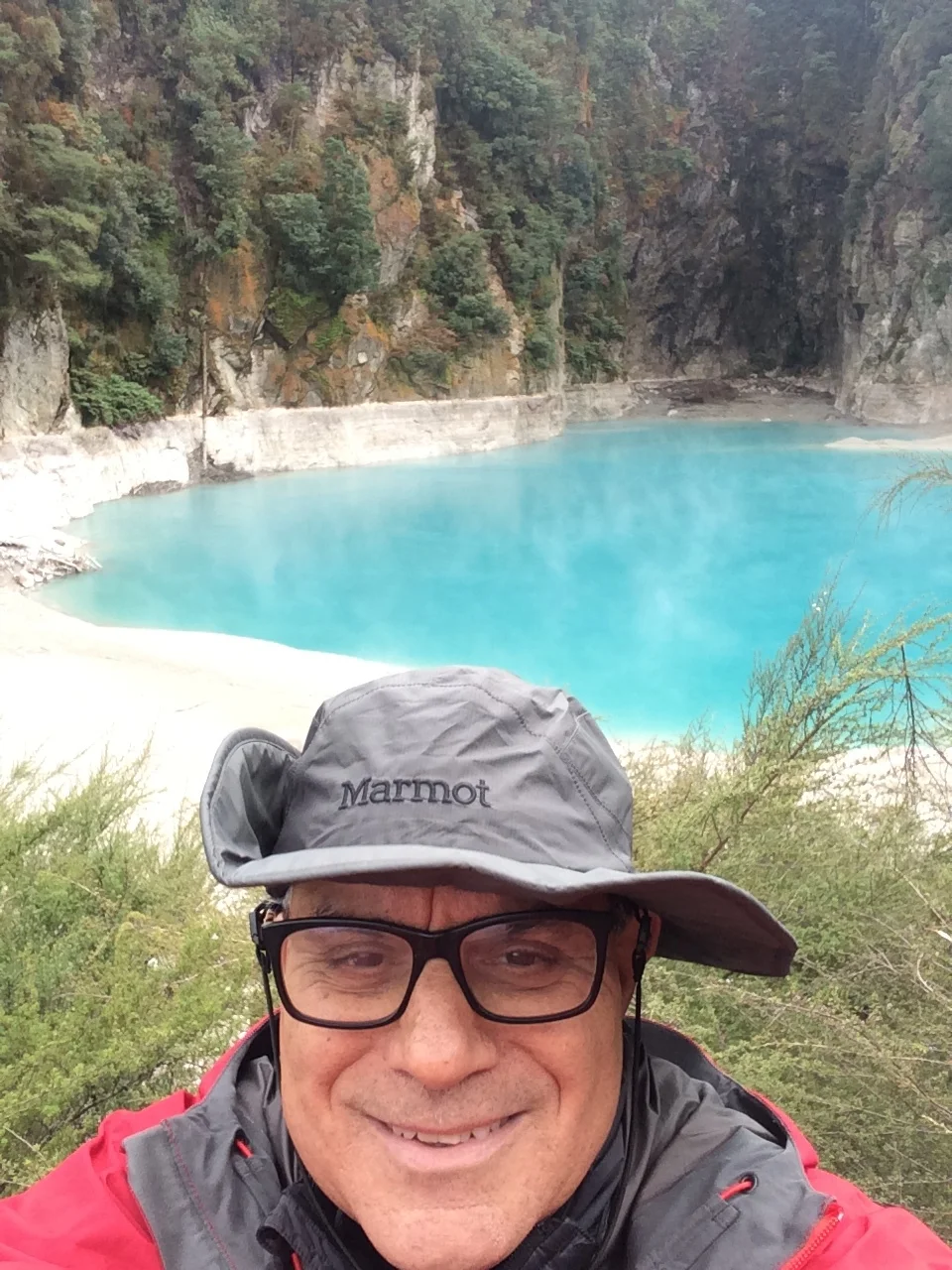
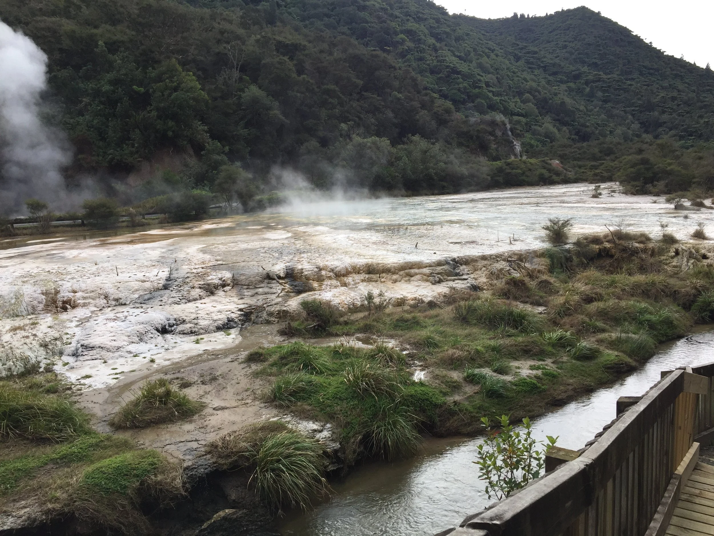
Our second excursion the next day was to trek the “Waimamgu” geothermal formations. This is billed as the “youngest geothermal area in the world”. Don't know if that is true, but the volcanic activity last transpired in 1904. And the sulphuric water and hot ponds are very active. It was a great trek through the cathedral and valley with great scenery. Surprisingly, black swans were feeding in the stream near to the sulfur water—kind of like a drip drip drip of hot water into the Walmangu stream that runs to Lake Rotomakarira. Note the Maori names used everywhere in NZ. See our trek photos and lunch at the hot springs below
Te Kuit
The next day we arose at 6:00 am and left early for the drive to town of Te Kuit, and the world famous Glow Worm Caves of Waitomo. This drive was super scenic. The landscape is like a bright green carpet that is rolled out over the crest and troughs of the hills that extend to the horizon, with usually a grey shadow of volcanic mountains in the far distance.
A quick stop on the road to see one of many great views
At the Waitomo Caves area the Teutonic fault lines display sharp crevices, barred rock, and sinkholes in the sides of the hills. These are the signs of cave formation. Otherwise the land is rolling green pastures for cattle and sheep to graze.
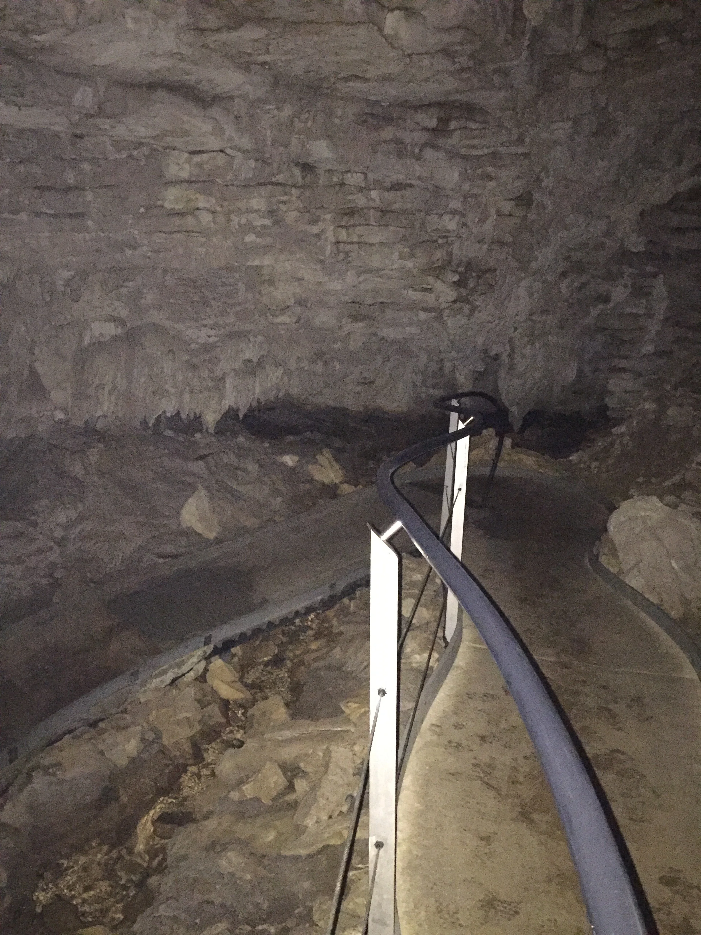
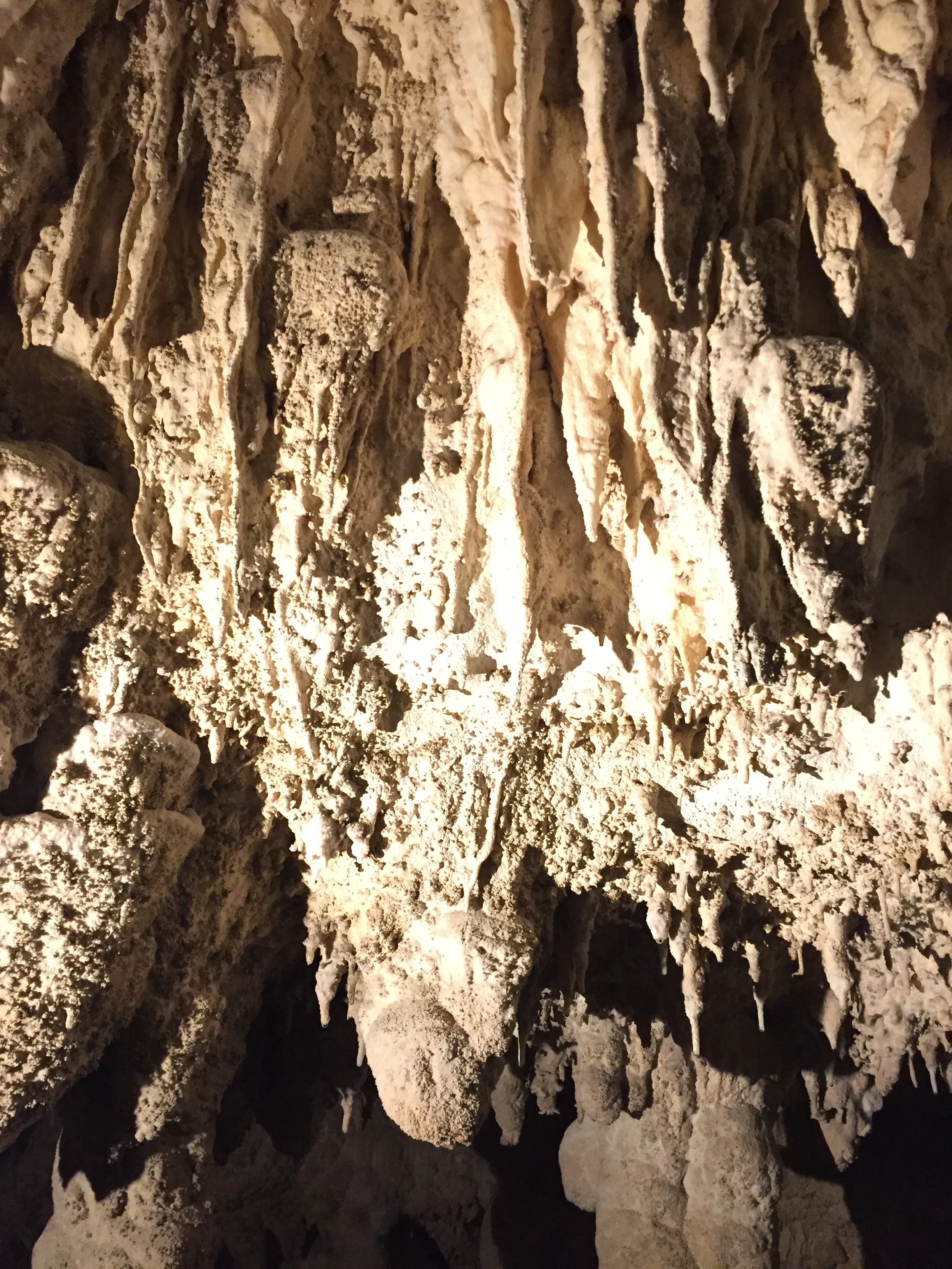
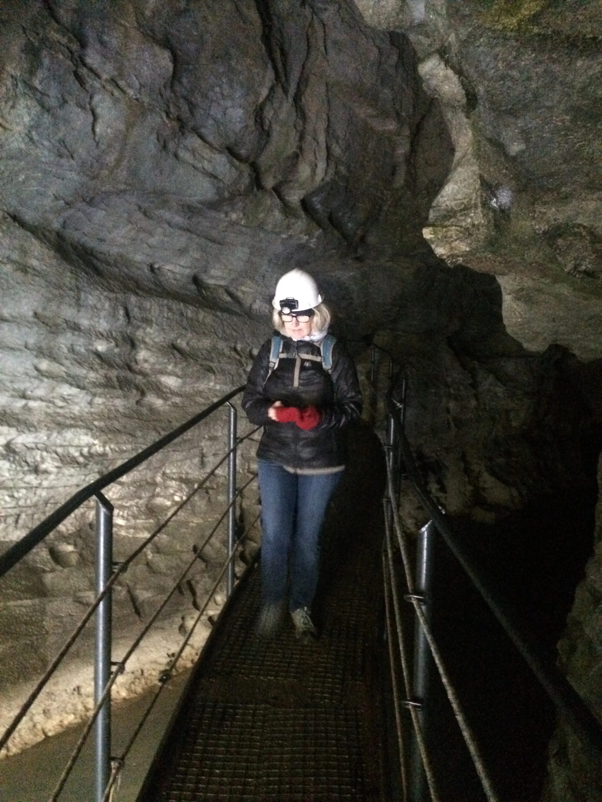
Our knowledgeable guide drove us to 2 cave sites. The first had stalactites and stalagmites . They were not straight up and down vertically, but often had curly cue shapes caused by wind flow. The Cathedral room opened into an open crevice to the surface that was about 20 feet long/wide, displaying the cave ceiling above us mere mortals. Here, water dripped and air flowed—but usually animals were blocked off by the Farmer’s fences or more likely his planted hedgerow. Seeing a hedgerow was a key indicator that a crevice or sink hole above the cave had been found. There were, however, bones of creatures—usually large birds in the cave. NZ had no mammals on the islands (except 3 kinds of Bats) until dogs and rats landed with the explorers.
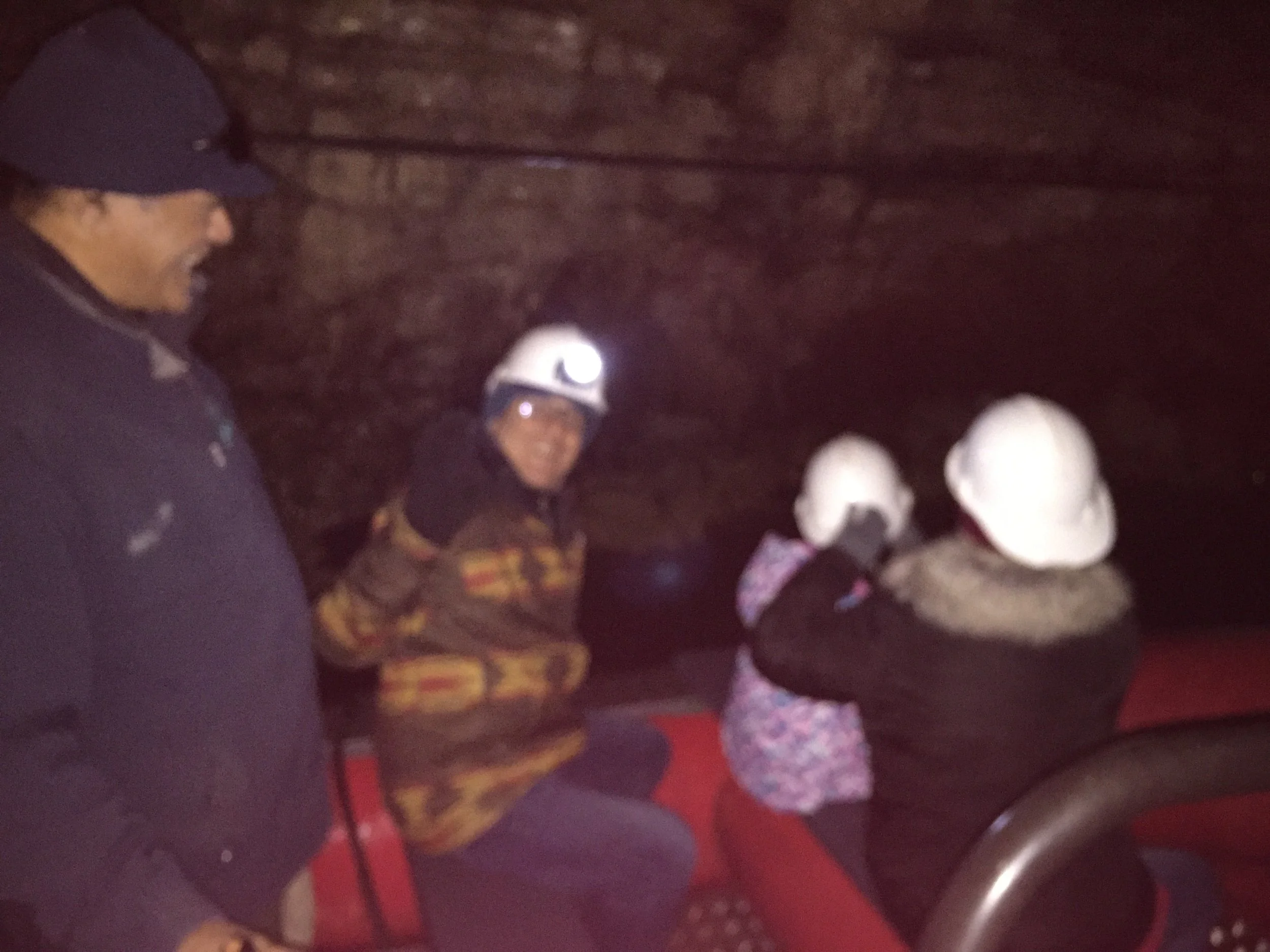
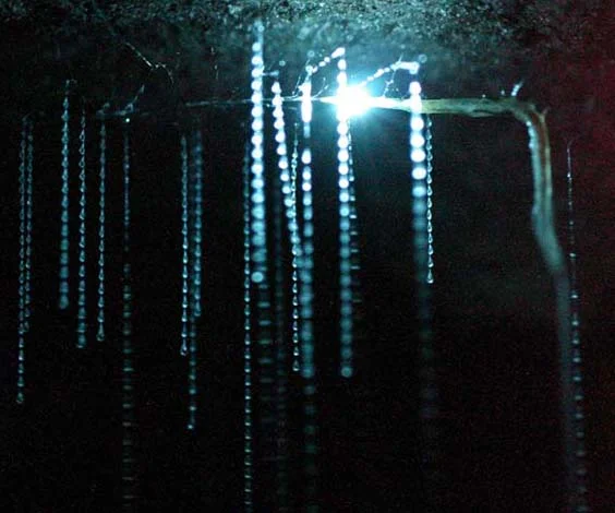
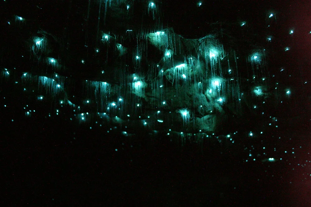
The second cave, which was black as a tomb, contained the Glow Worms. We rode in a small raft that was pulled over the water in the cave tunnel. Our layman’s explanation: These are the strangest tiny creatures that attach themselves to the ceiling in the thousands and lower single strands of goo, about 3-4 inches, with the goal of trapping food that may fly or float through the caves driven by the light wind. They are not sensitive to light, but rather to vibrations, which cause each of them to glow in order to attract prey. The higher the vibration the brighter they glow. In a dark cave the glow reminds you of the vast stars in Milky Way Galaxy. It is really a phenomenal experience.
Ps. We also experience seeing large river EELS (2-3 feet long) that wind there way through the outdoor streams from bank to bank where you might expect to see trout. Apparently they are edible and are eaten by the Moira and others.
Taupo
We left the cave area and drove to our next destination of Taupo in the central north island. This was another road adventure with winding roads and steep edges. We arrived before dusk, thankfully, and crashed at Rainbow Hostel. As before in NZ, the first stop was a grocery store. We have used the kitchens in the hostels for most meals. This was another large place, but spread out on a single level. The other hostels we stayed at were multi storied.
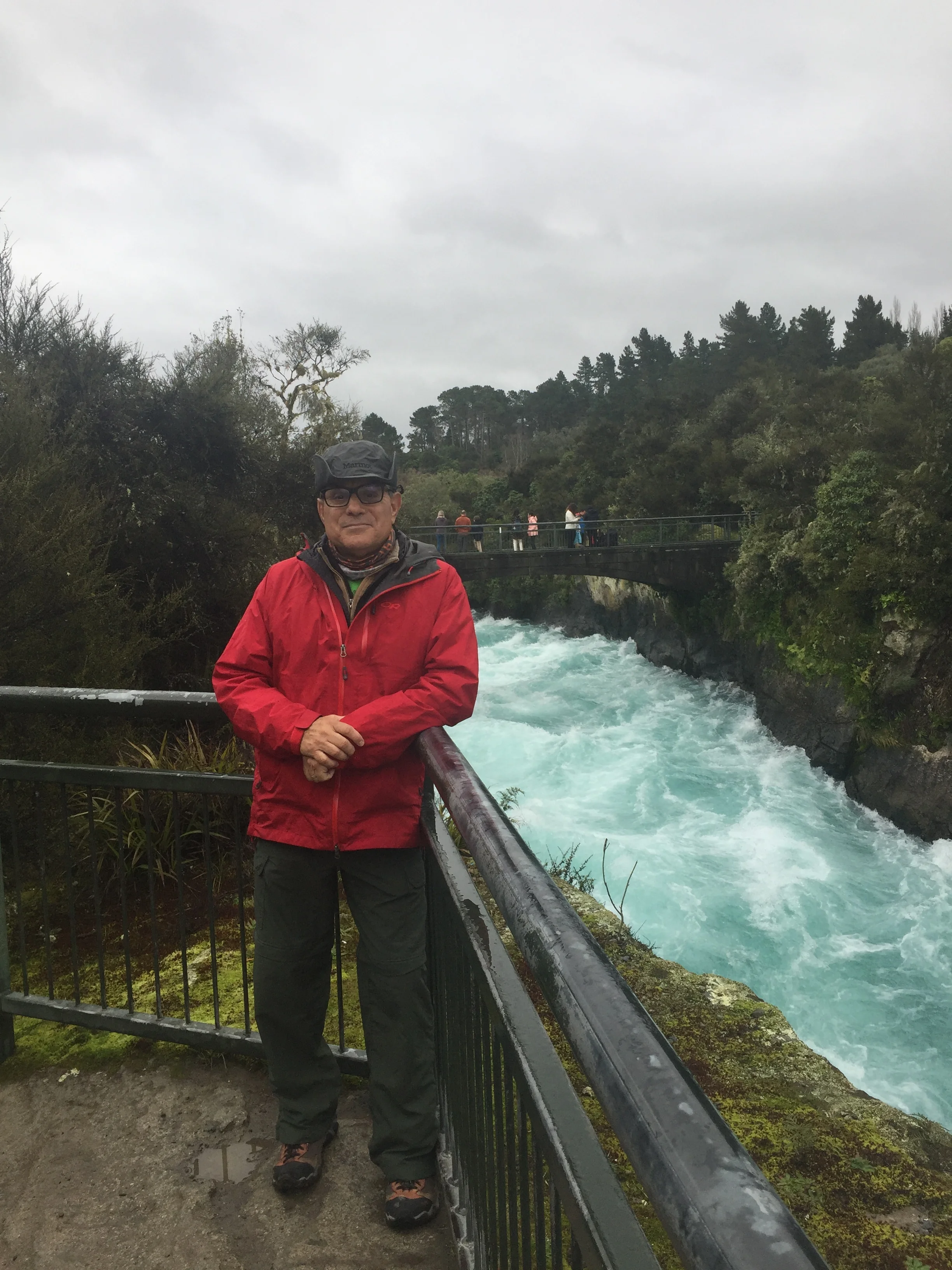
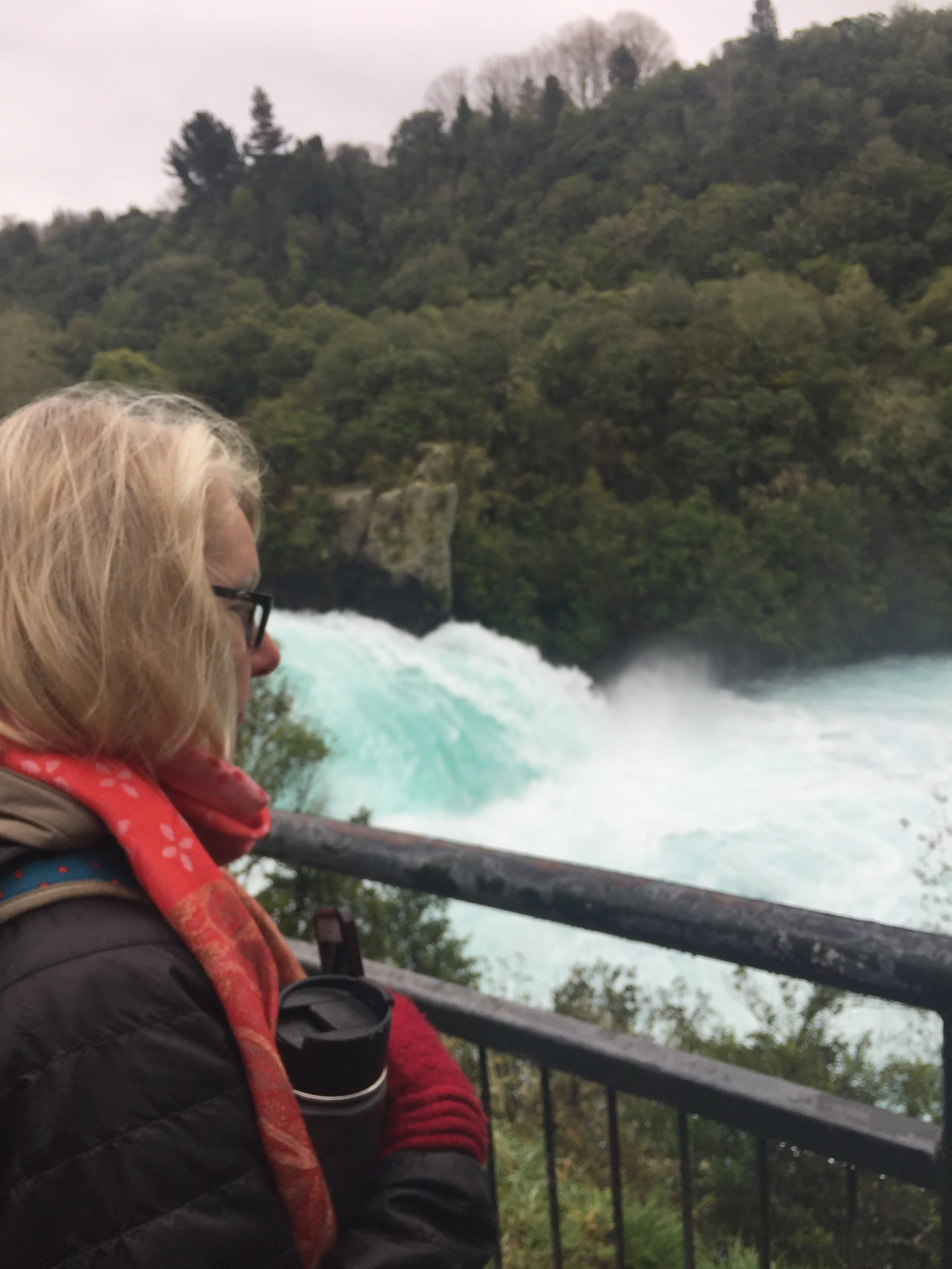
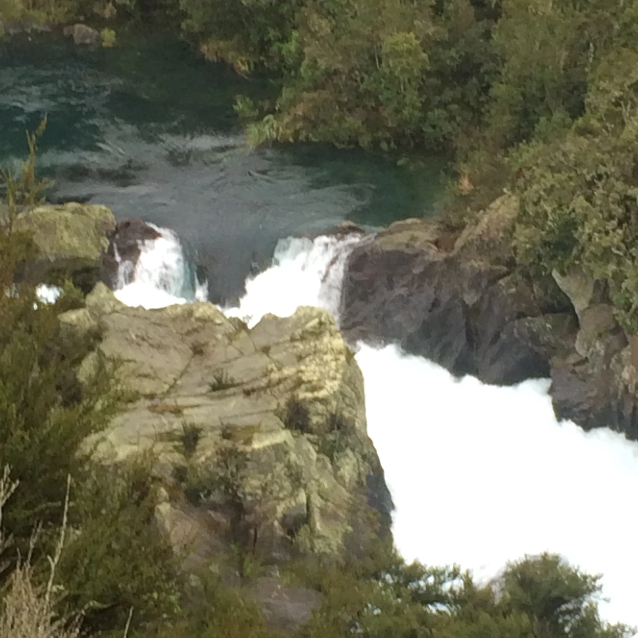
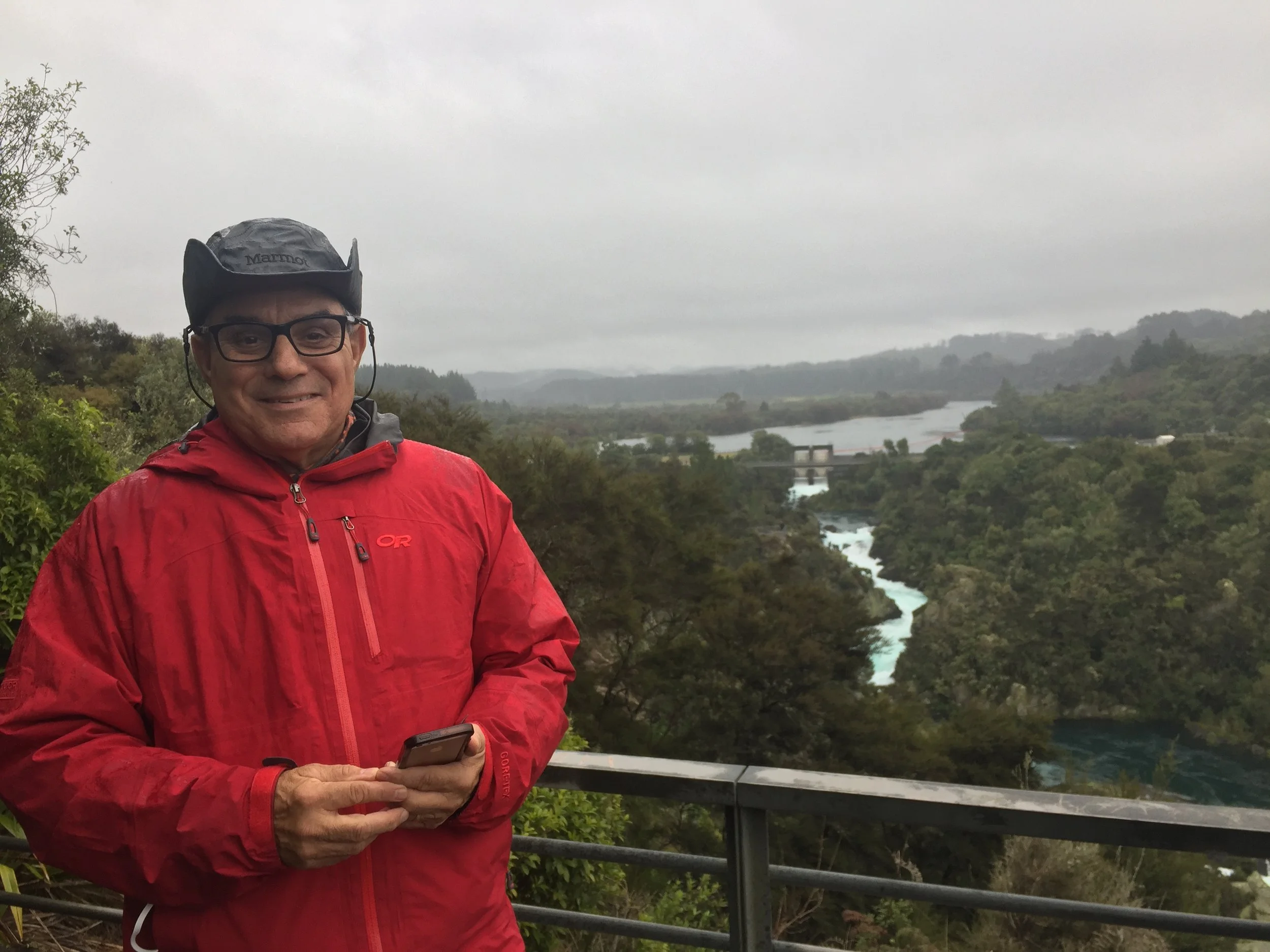
We planned three excursions in Taupo, but due to heavy rain settled on two sites. First, we trekked, or as NZ says-“tramped”, the River walk, about 3 km to the Huka Waterfall. The river has monstrously high banks covered with multi-colored green foliage. The rush of the clear turquoise water adds to the beauty. This wide river borders small geo-thermal ponds emitting steam that are open to bathers. The river current is fast and sports a competitive Kayak slalom course. The river narrows significantly and that is where the compression of the waterway makes the force of the falls so dramatic although not really high above the river.
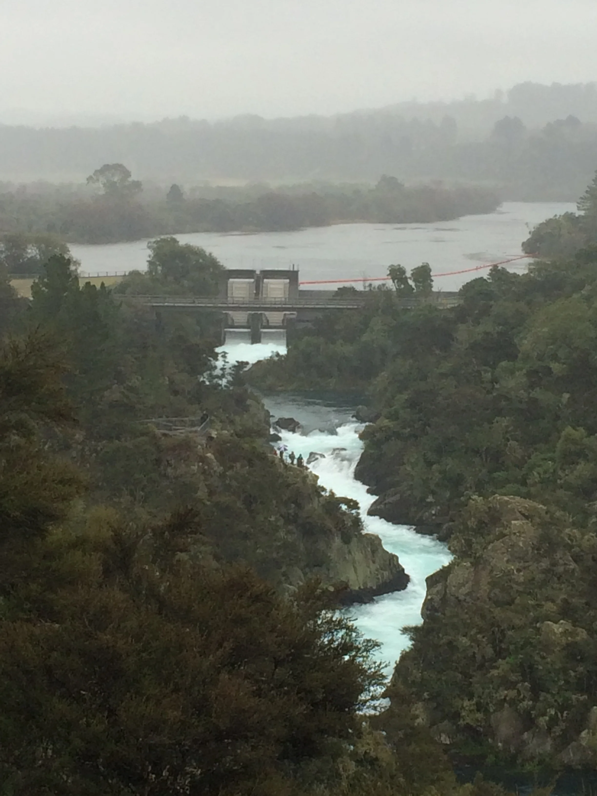
Then we went to the “Aratiatia Rapids”and walked to the high viewing stations. These rapids were once natural, but now the course of the river is dammed for hydro-electric energy. However, lucky for us, the dam is opened three times per day which allows a great onslaught of water to pour into the ravine pools and create the moving rapids and smaller water falls. Watching the dam function was an unusual experience; an interesting interplay of technology and natural forces.
We later stopped by “Moon Crater” geo-thermal walk and “Waikato” geo-thermal walk, but it was just too wet and raining to proceed. We like the steam of the thermal pools, but we have seen enough of them to avoid bad weather. Tomorrow, we are getting up early to drive to the Tongariro National Park. We will spend the day there and then drive 200 Km to the capital city of Wellington.
Great example of our treks and the vast landscapes
Brisbane Australia
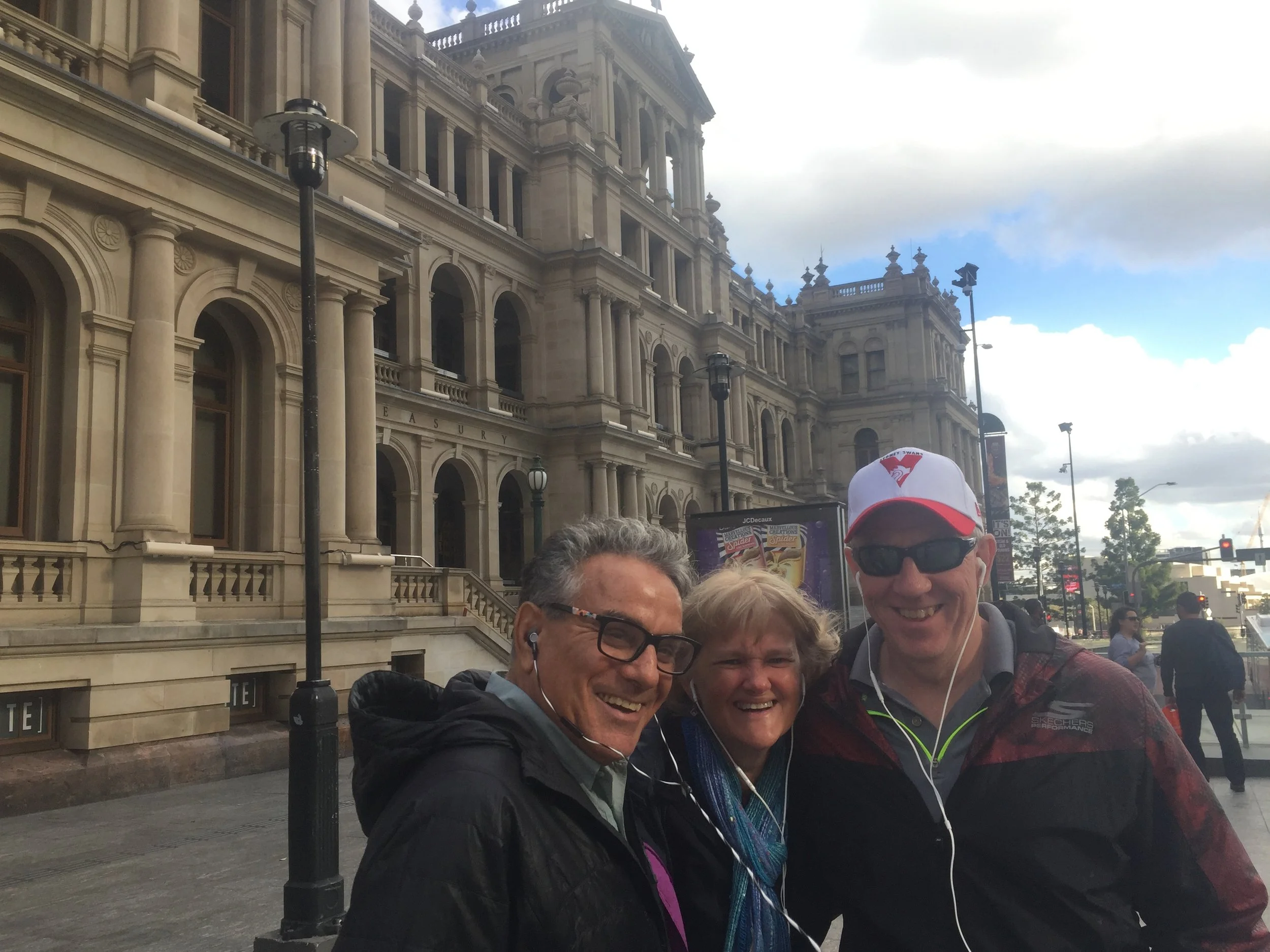
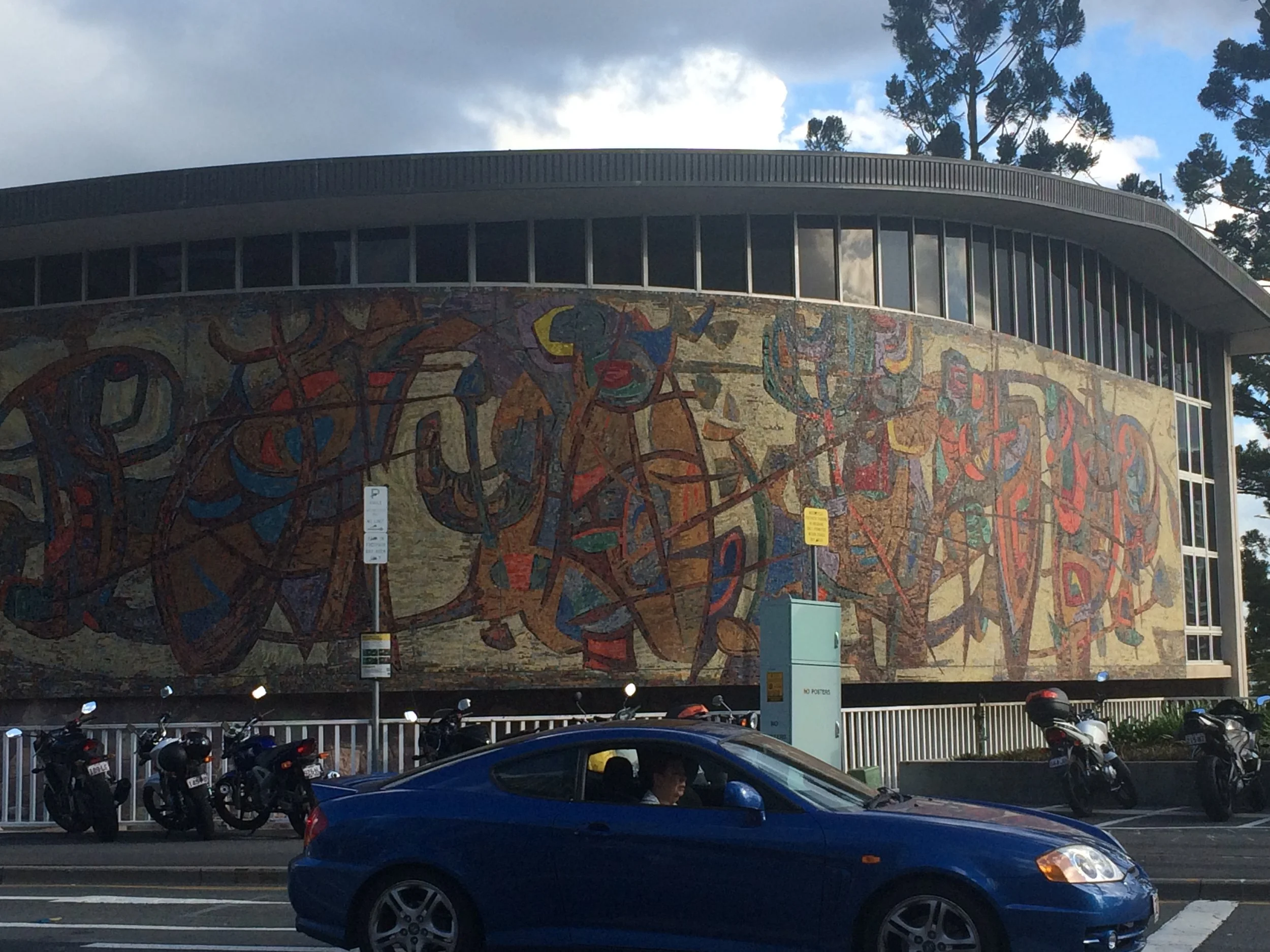
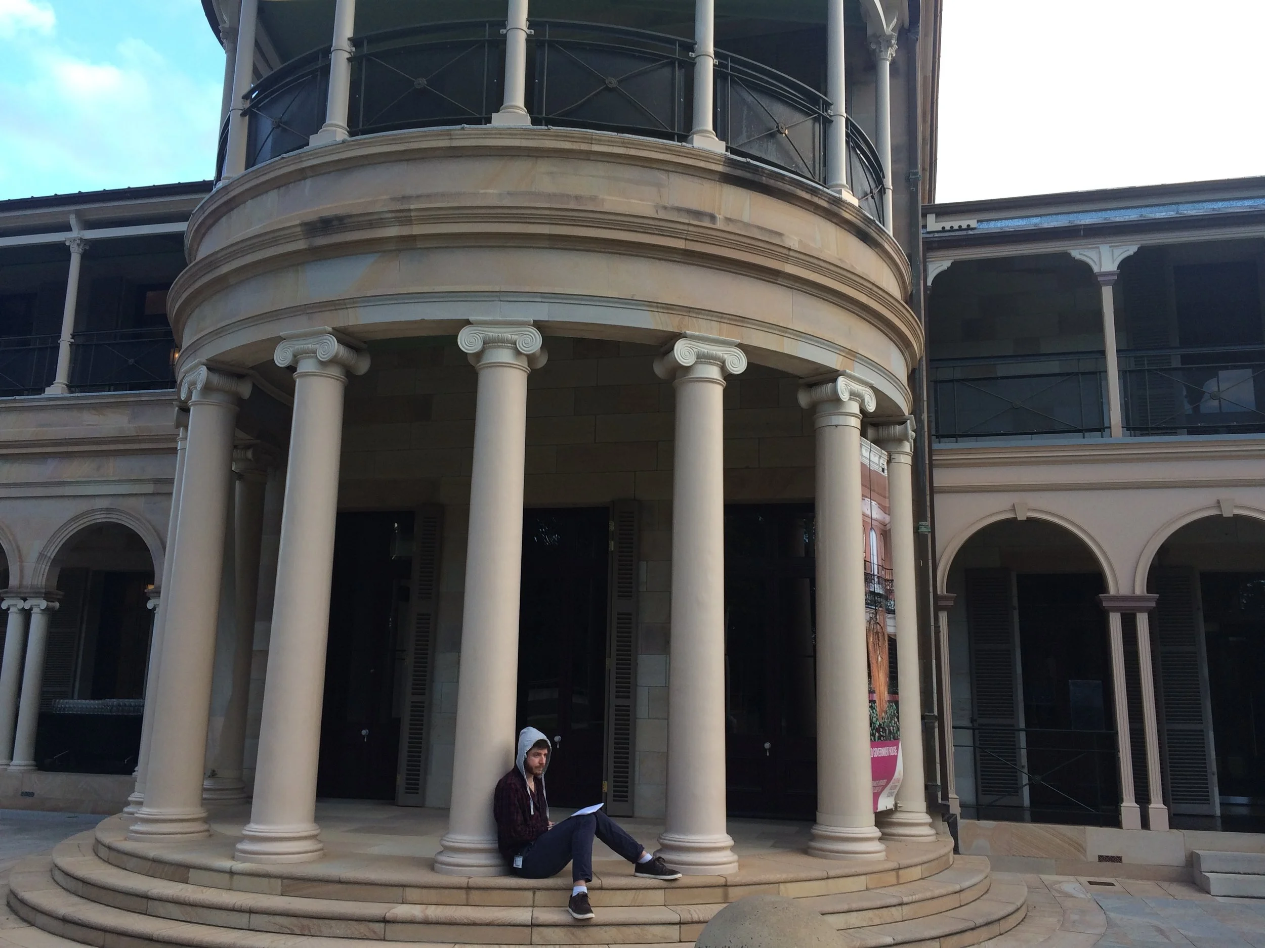
Our final destination is the city of Brisbane also in the Queensland Province, but required a 2 hour flight from Cairns. We are bedding down on the 15th floor of a “serviced” apartment building that has a large balcony that overlooks a really marvelous city straddling both sides of the river connected by pedestrian bridges as well as roadways. There are many modern high rises of exciting design, but we chose to start our self tour by visiting the historic Provincial Government District.
We had an audio guide that nicely explained the development of the City and its buildings from its penal colony days to being recognized by British Queen Victoria as the Capital of the newly formed province of Queensland (Sidney in New South Wales Province was not pleased). The older architecture and gardens have been restored and maintained, but the government functions have long been replaced by business offices and the “ Brisbane Casino”.
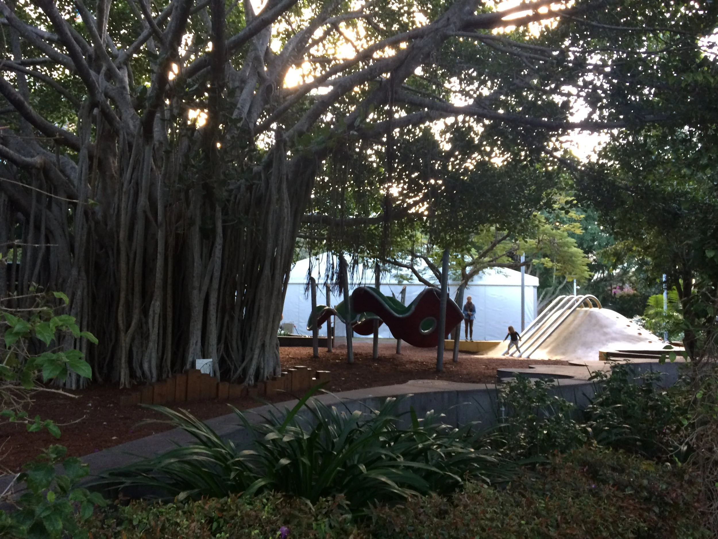
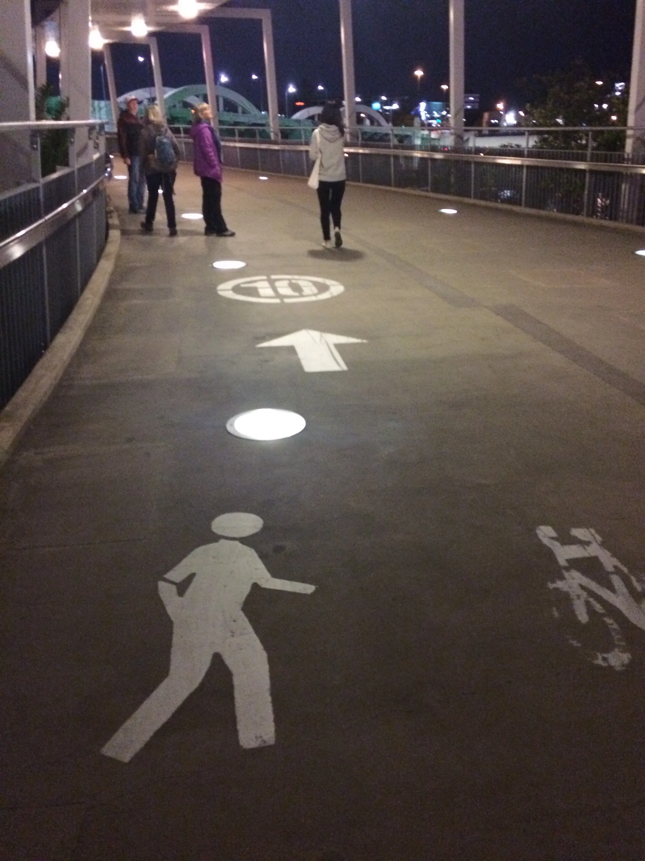
Across the river from our place was the arboretum, the QUT campus (Queensland University of Technology), outdoor theater, small water park, giant ferris wheel, and most importantly the bar and restaurant quarter, similar to the former “flats” of Cleveland. This was a great place to stroll, people watch, and imbibe in tasty delights—and we did just that into the evening. The walk home at night across the pedestrian bridge was scenic with multi colored light patterns on the many buildings and bridges along the river walk—just beautiful.
The next morning we took the train from Brisbane for about 1 ½ hours to the city of “Beerwah”, not to be confused with the earlier stop at “Beerburrow”. This is the home of the “Crocodile Hunter”, Steve Irwin. Here, he established his private zoo, now known as ‘Australian Zoo”, before his untimely and tragic death about 10 years ago-not by a Croc, but by a sting ray.
The ticket booth at the Australian Zoo
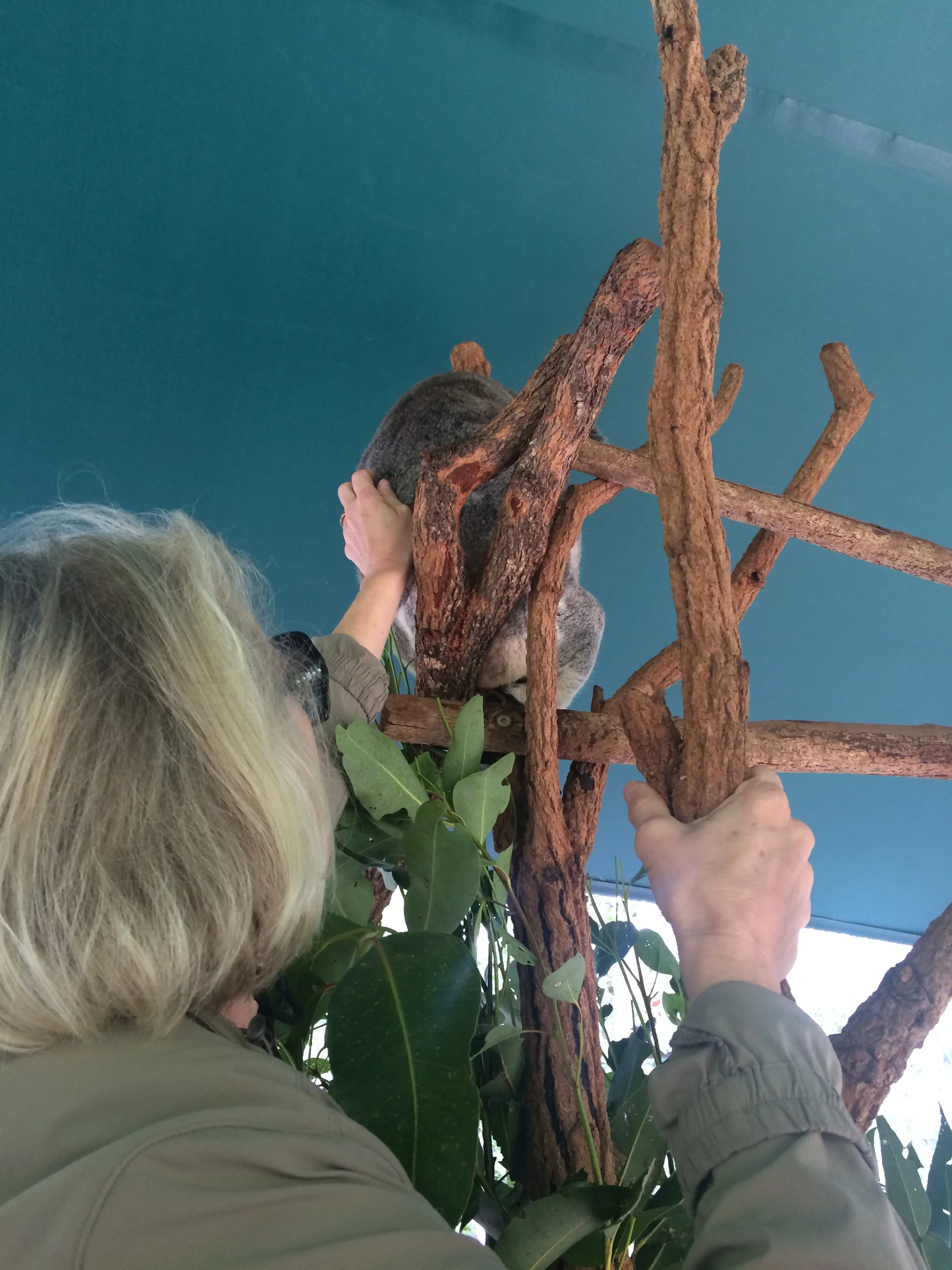
Jean and Chip with a Koala
As you have guessed, we really like zoos—this being the third in less than 3 weeks—but they are so unique in theme and animals, and in presentation.
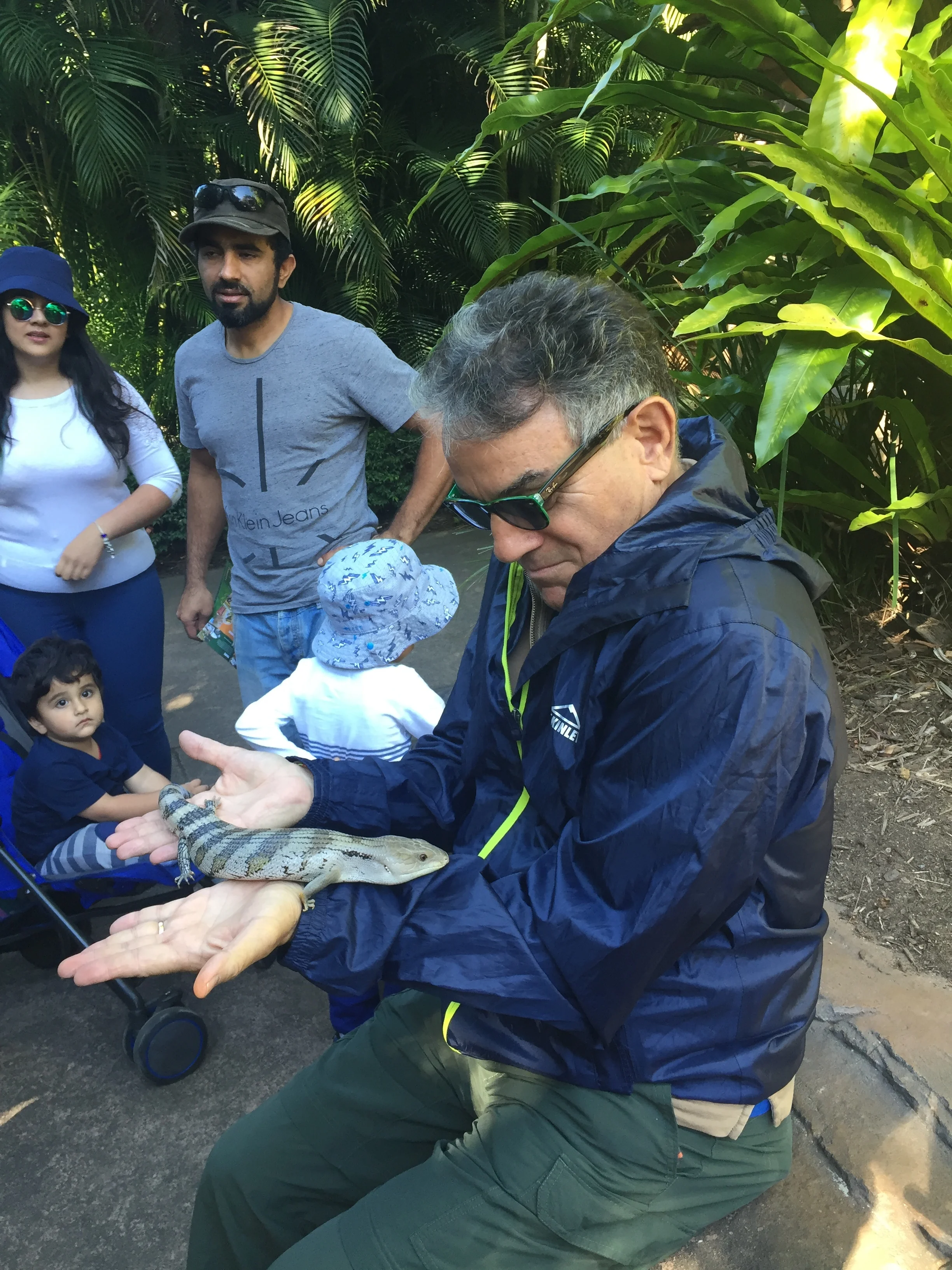
The Australian Zoo gives wonderful access to Koalas; you can hold these soft little creatures as well as pet them; Koala work time is limited to ½ hour on and 5-6 hours off. They are allowed to climb up their favorite trees right into the cafeteria area or overhang the walkways in Koala Retreat. The Zoo also allows unfettered access to Kangaroos; pet them right and they flip to their sides or back for tummy rubs. Roos fur is surprisingly soft. See our pics below of all of us with animals, FYI, Frank's was not soft and fluffy!
The Zoo also does a crocodile show where this gigantic animal, called Agro, 15 ft and 1,300 lbs., stalks the trainer from poolside to poolside and reacts to his every move waiting to be fed; the trainer is very careful as the crocodile raises up on its front legs with gapping jaws waiting for the food to drop. It is actually very exciting.
Hand feeding meat to a 15 foot croc
Finally, we were treated to the playful feeding of a yearling tiger cub. This cub was big. The two trainers, working in unison, would drip milk over the cat’s whiskers and lips---slurp, slurp, slurp—while touching his nose and he would follow them obediently around the pen for another treat. For us, this was the most amazing wild animal interaction.
hand feeding milk to the tiger cub
Chip at our last dinner with his favorite wings
We took the train back to Brisbane; returned to the nifty riverside bar area for dinner, packed up, and said our fair wells between great friends. We left at 5:30 am for the airport and our flight to New Zealand so we quietly slipped out leaving our friends with some extra sleep. We will miss them and hope to visit them in Denver soon. We trust they had a wonderful time with us in Australia with us and will have an easy flight home. See some of our photos of our great time together

