Iguazú Falls - Argentina and Brazil


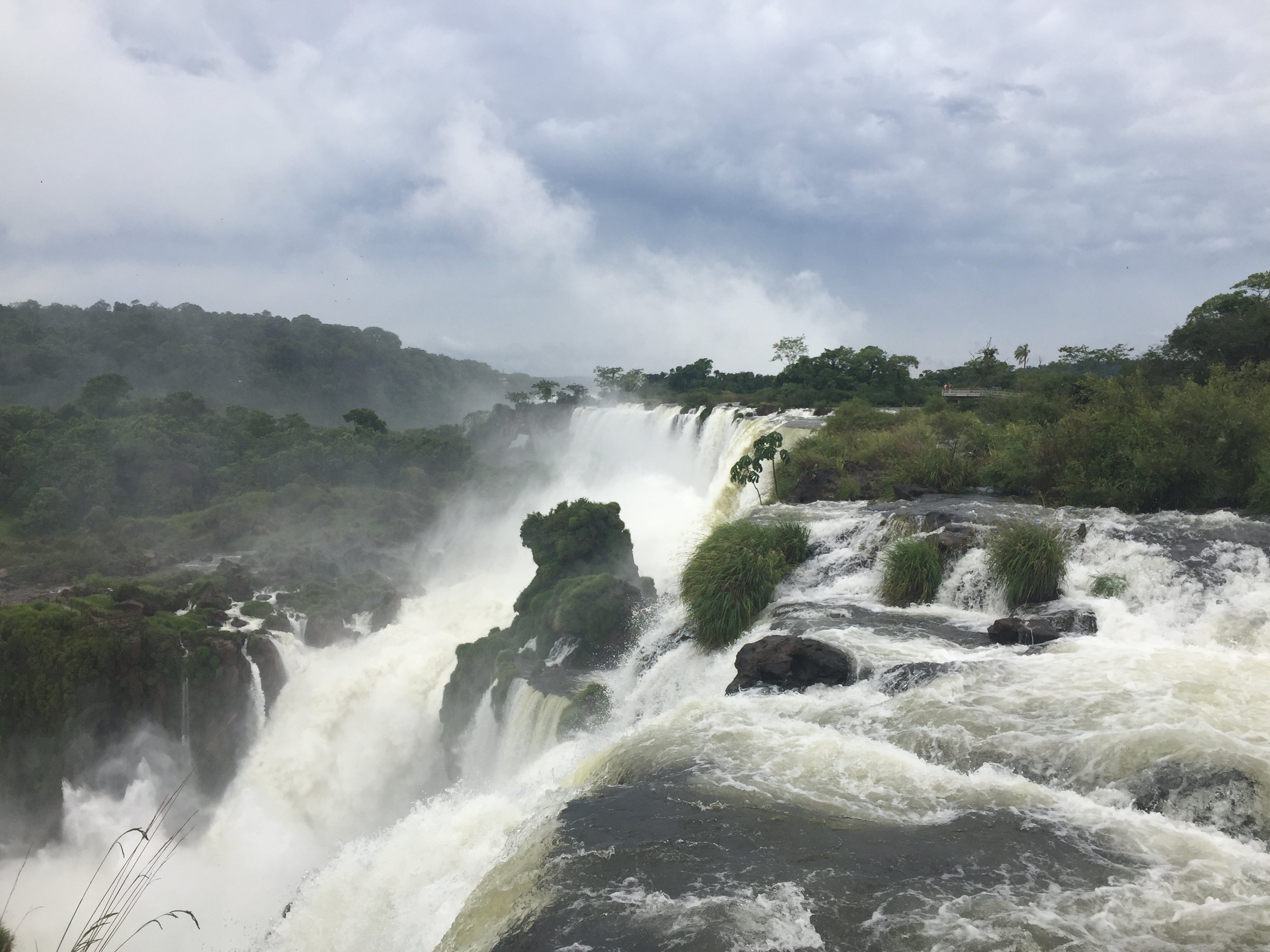
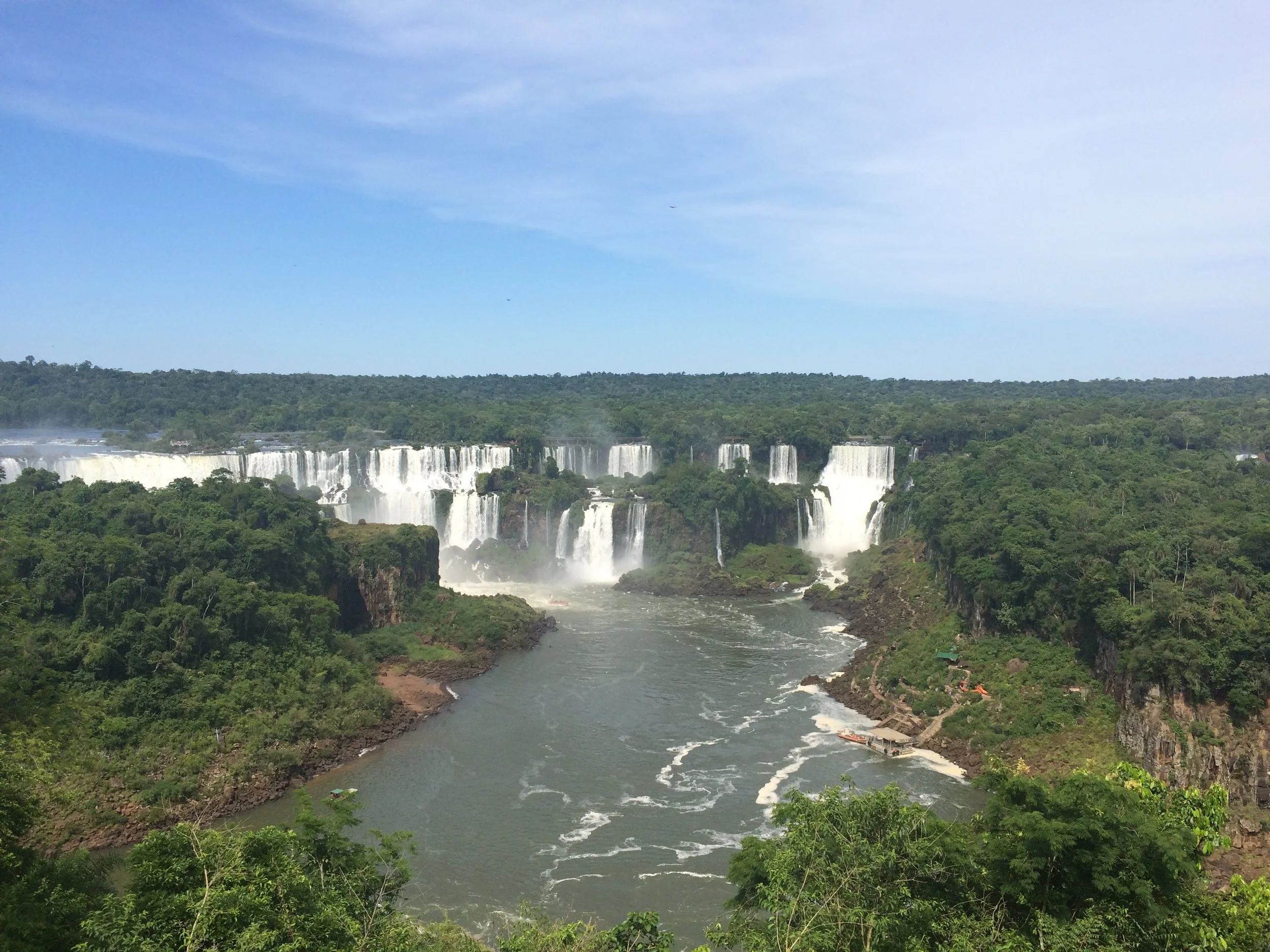
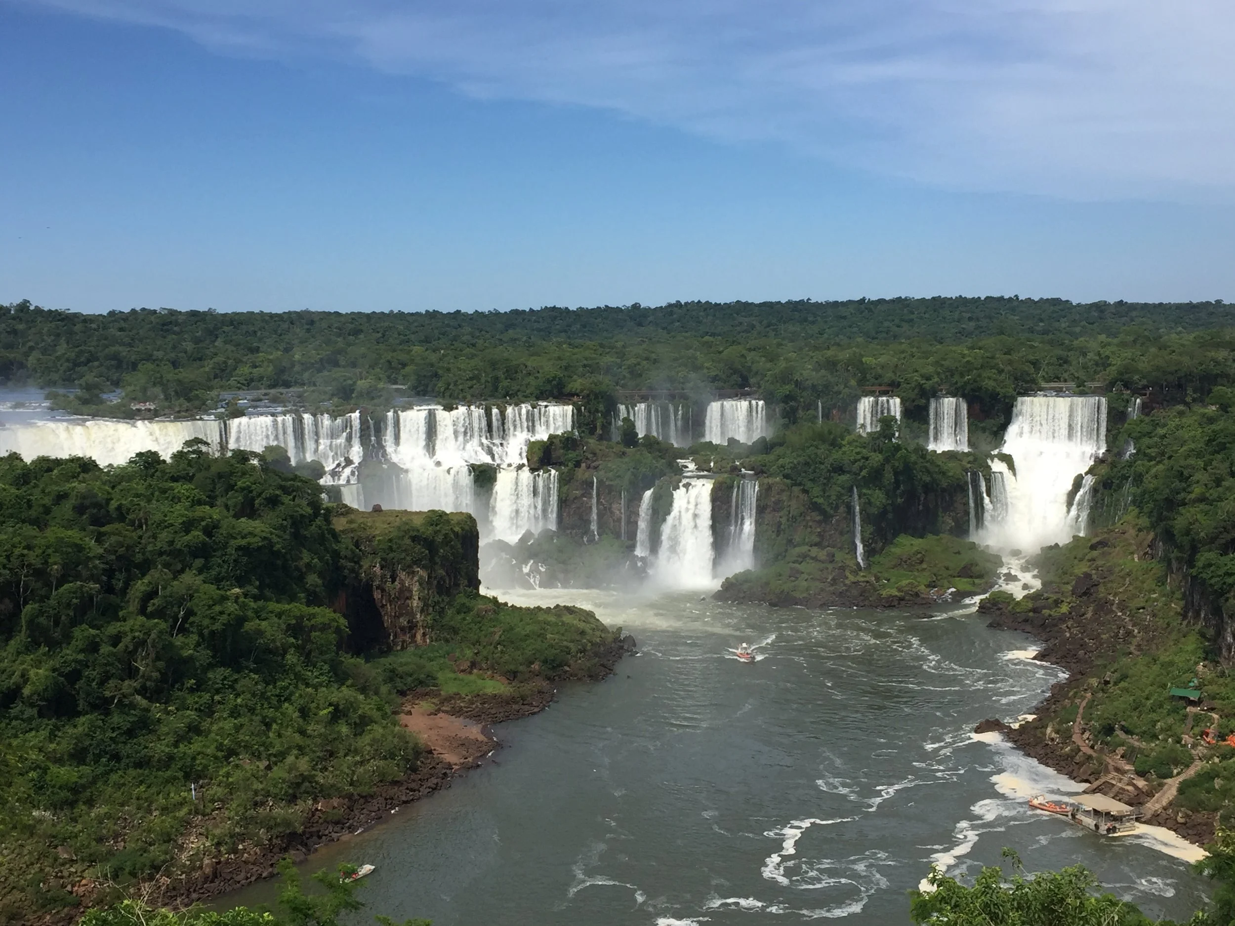
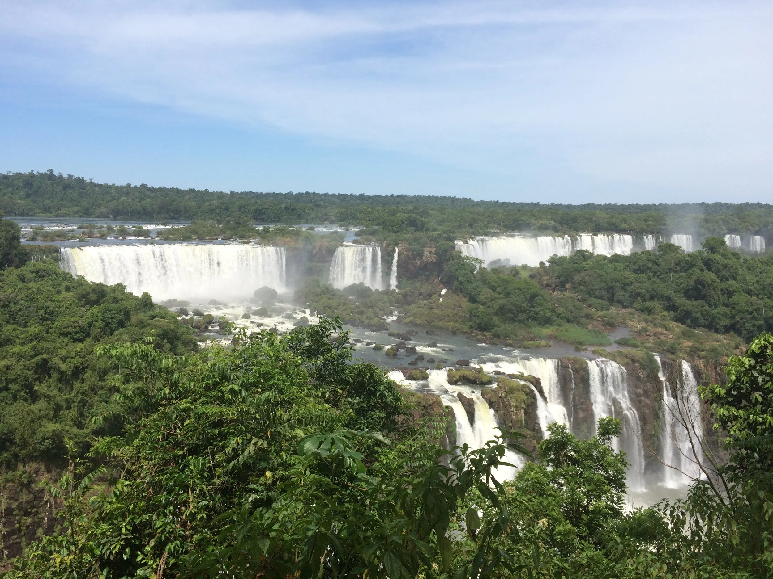
Iguazu Falls, pronounced ee-gwah-SOO is the border between Argentina and Brazil.  This is our last stop in Argentina and our border crossing into Brazil.  The falls are one of the new 7 wonders of the natural world.  They are the largest waterfalls system in the world.  It is said that when Eleanor Roosevelt visited the falls, she sighed and said “oh poor Niagara”. 

The town

To get to the falls it is a 20-hour bus from Buenos Aires and an additional 14-hour bus to São Paulo or a 90-minute flight.  After much research we found 2 one-way air tickets into the Argentina side of the falls and out of the Brazil side to São Paulo for $230 each.  We opted for the flights.  The Argentina town and airport is just 5 miles from the Brazilian town and airport, but like our other experiences in South America the border is strictly controlled and for US citizen to Brazil you cannot cross without a visa. In Argentina the town is Puerto Iguazú, a larger town of 34,000.  Like many of the towns with major attractions, it was expensive and we opted for a hotel since it was the same price as most hostels.  Our small hotel was nice and had a good pool.  The temps are now 80-90 every day and we had a good afternoon relaxing at the pool.


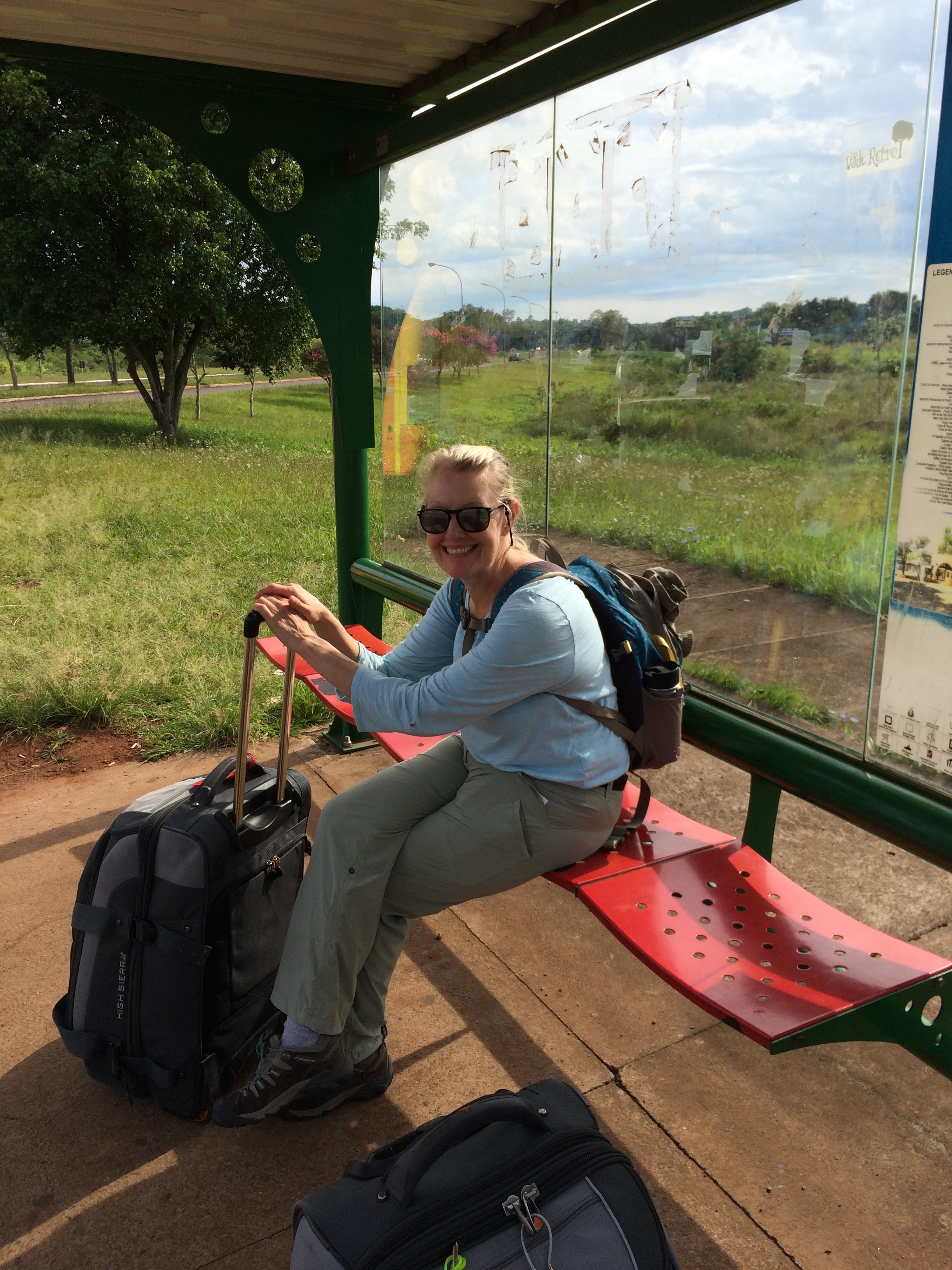
We woke early for our first day trip to the falls and after a quick breakfast we headed to the bus station for the 7:30 bus to the falls.  The bus was almost empty and after 10 minutes we got to the Brazilian border and was instructed to exit.  This was not the plan, we needed to be at the Argentina falls, we had no passports, our plans for Brazil were for the next day.  Darn, on the wrong bus again!!  So after 2 hours and a transfer at the local bus stop we finally made it to the falls. 

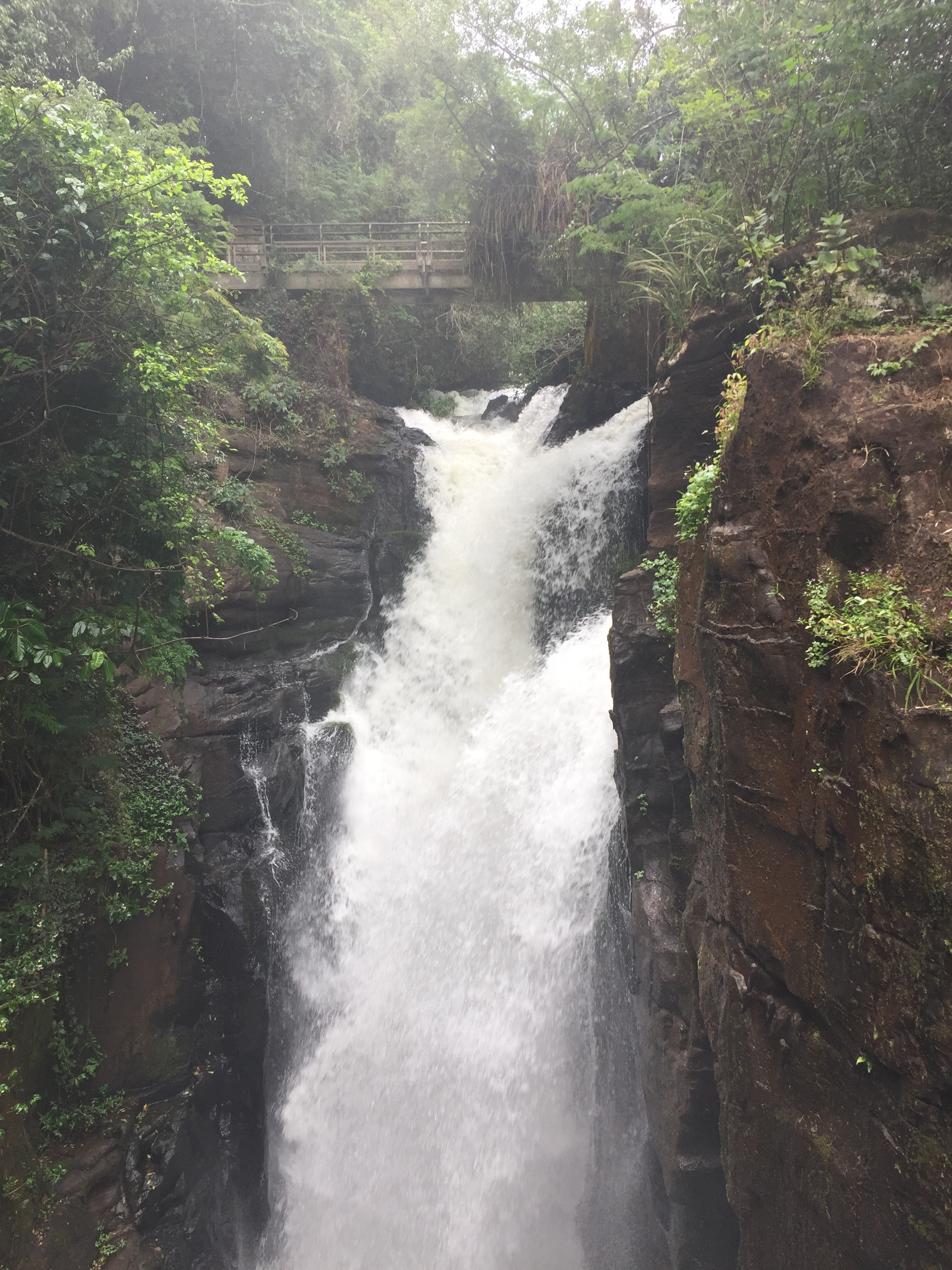
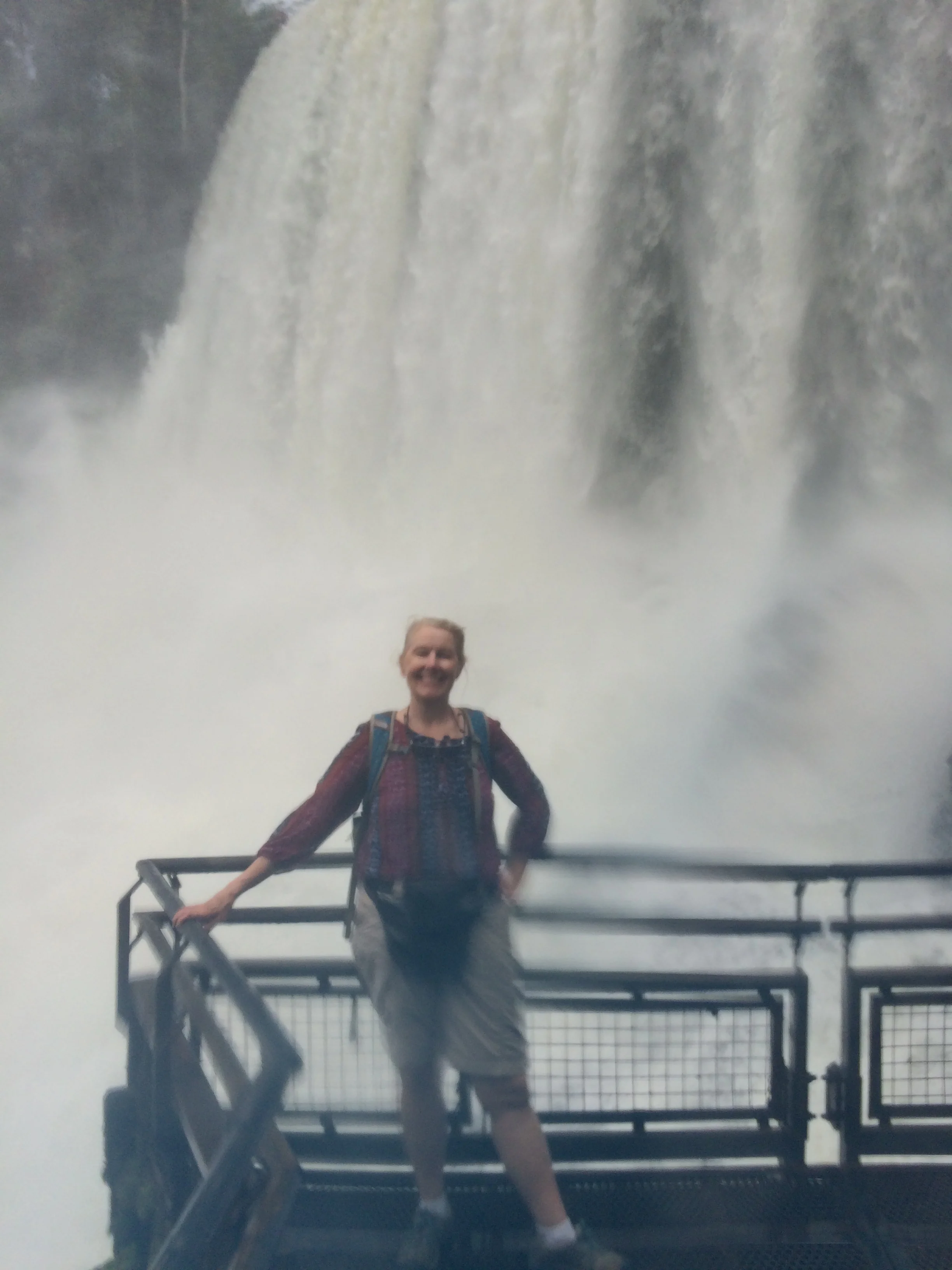
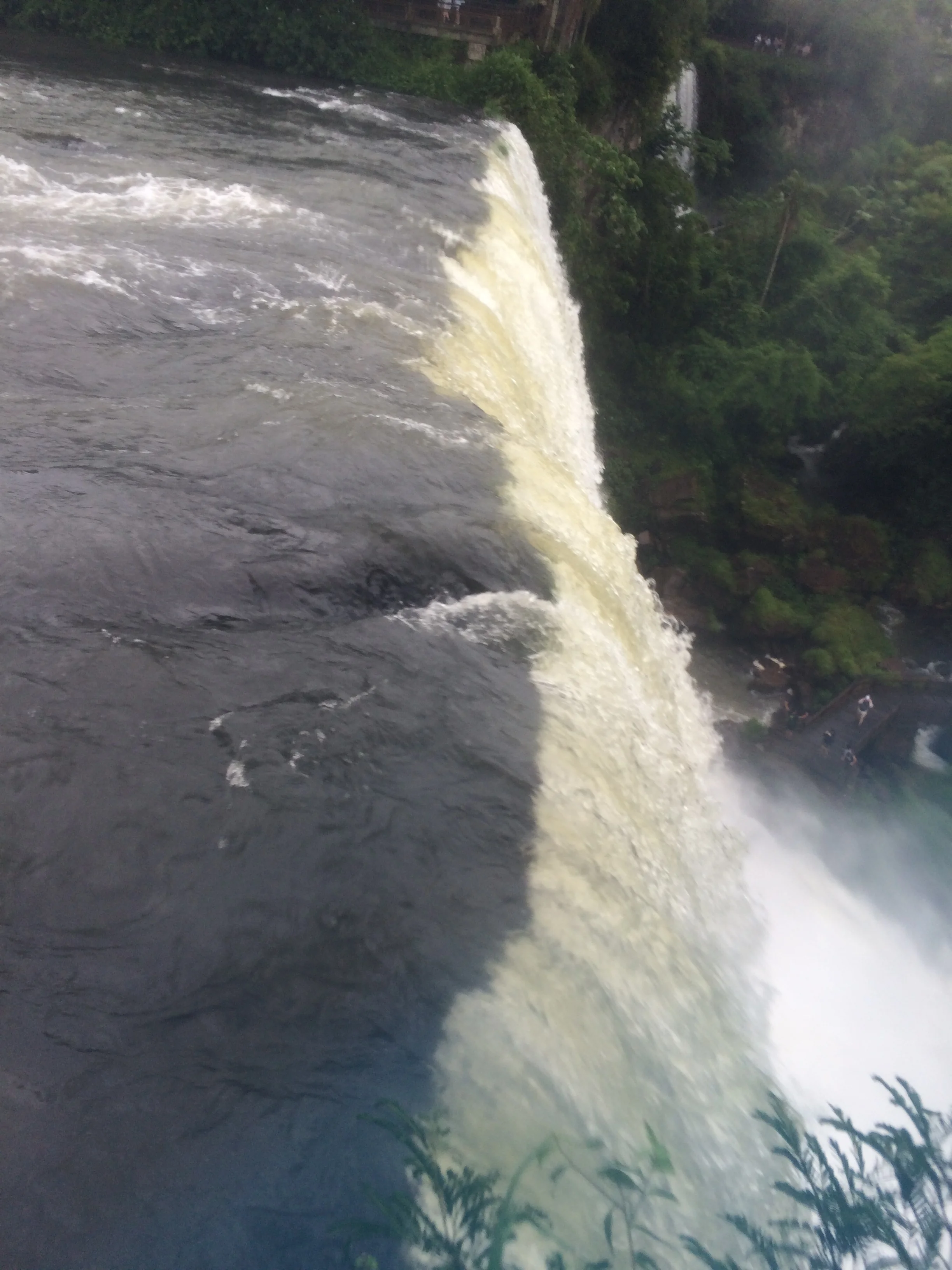
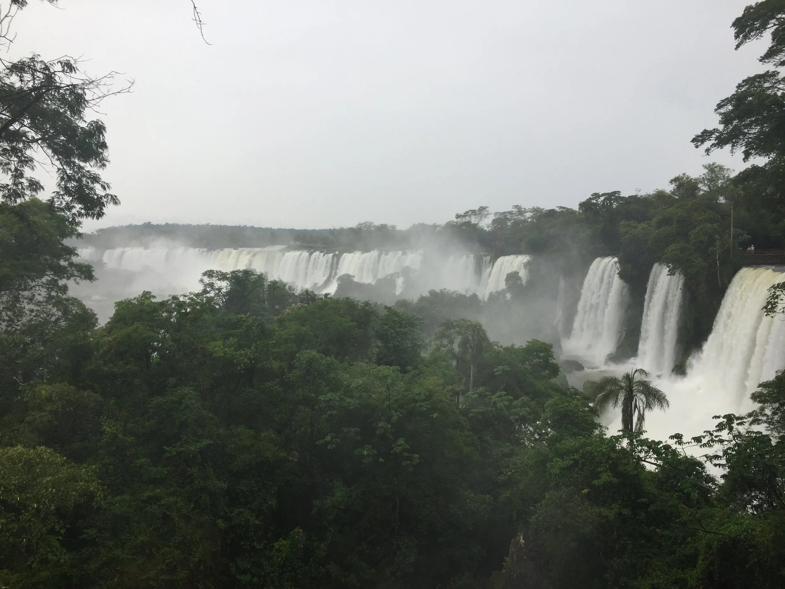
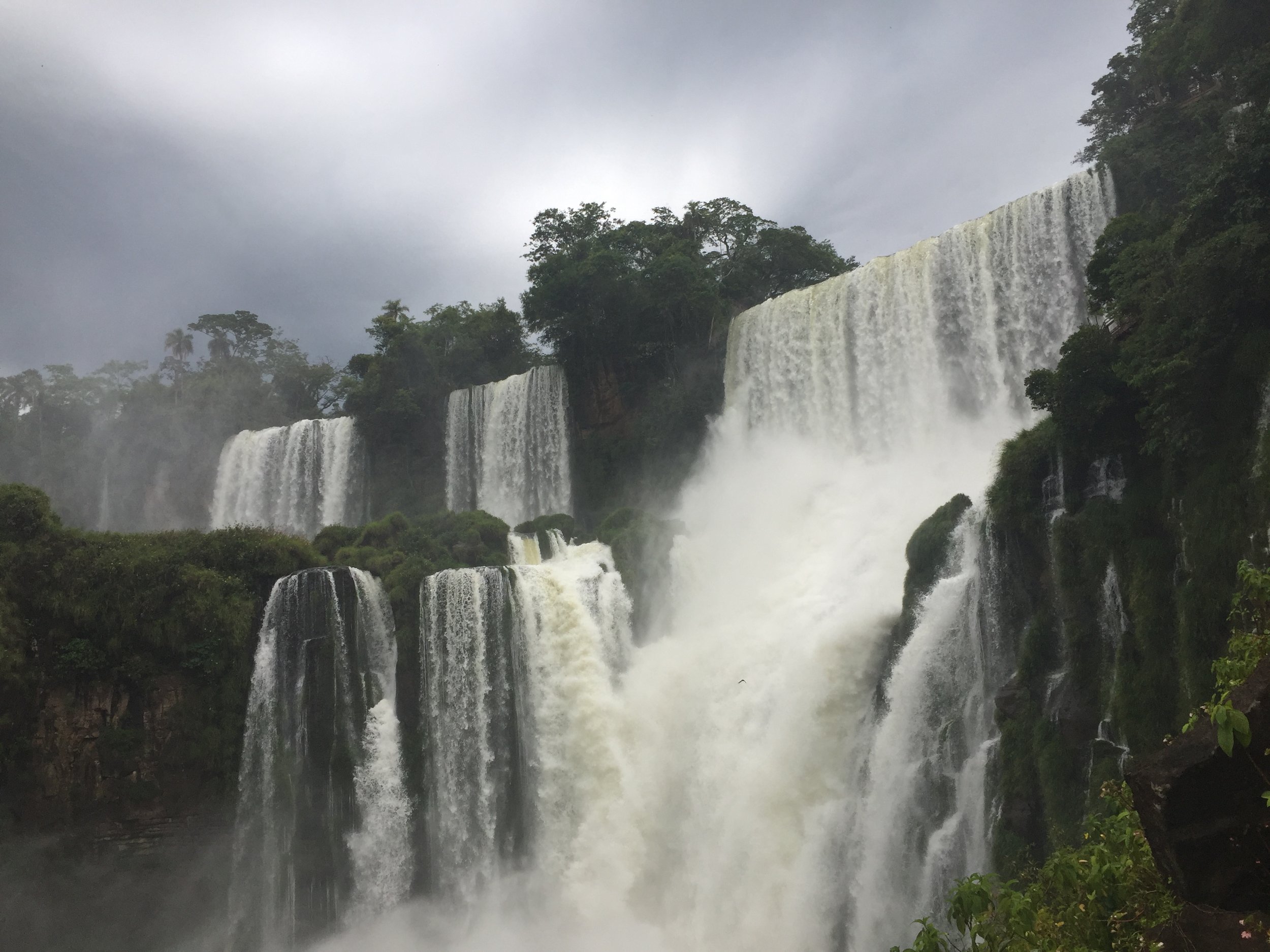
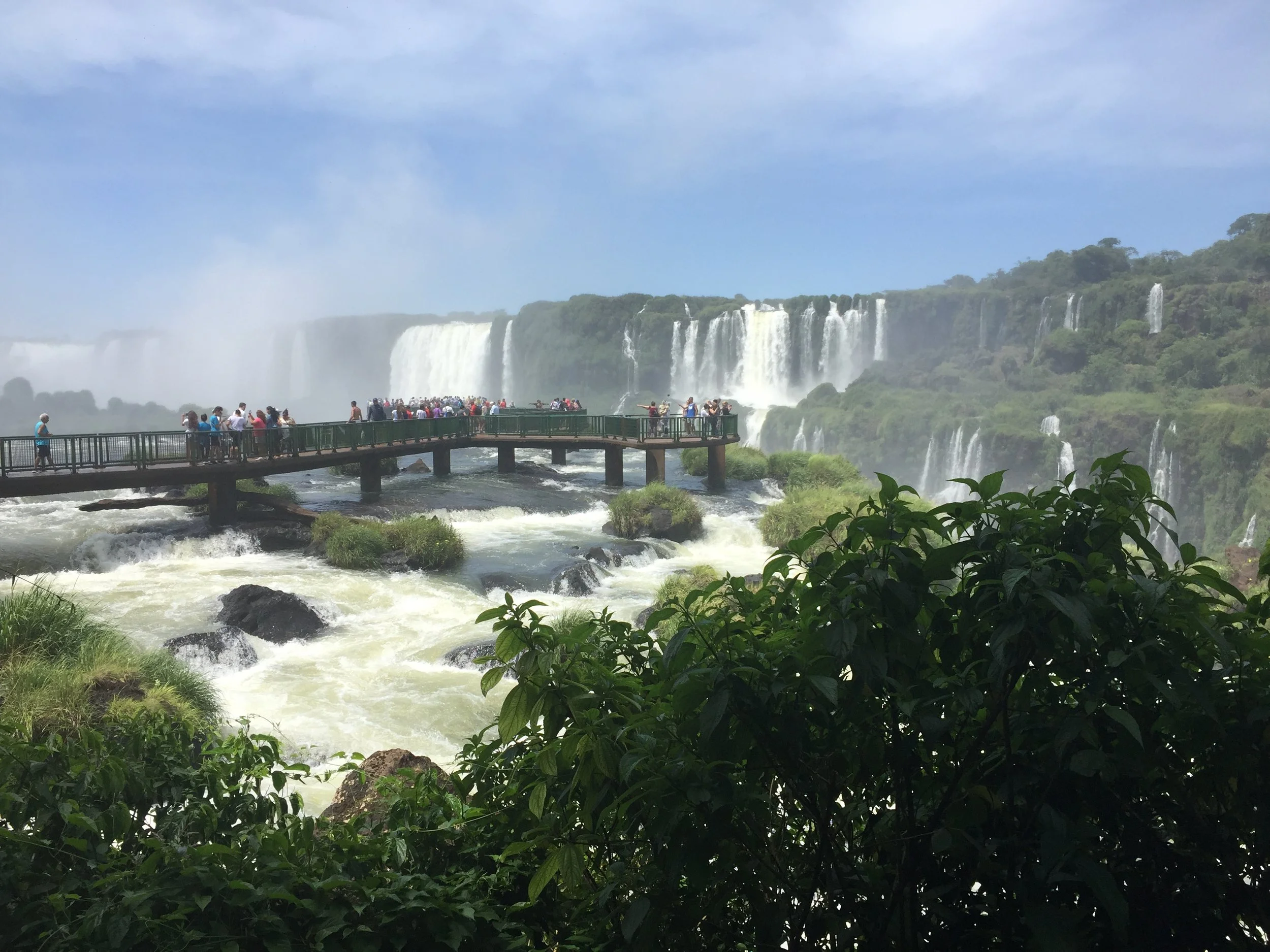
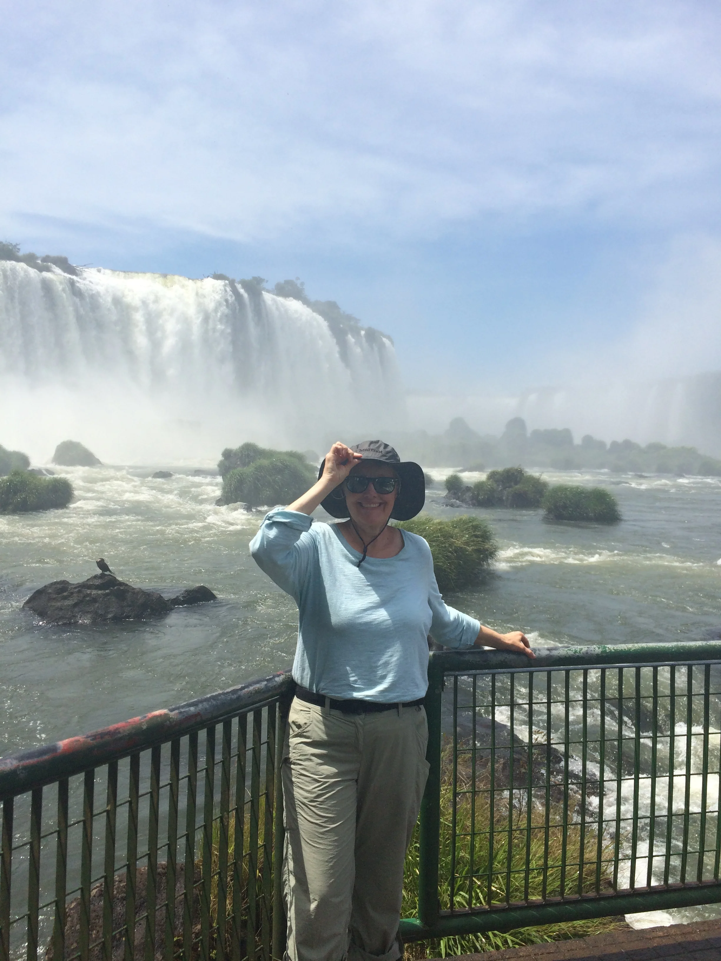
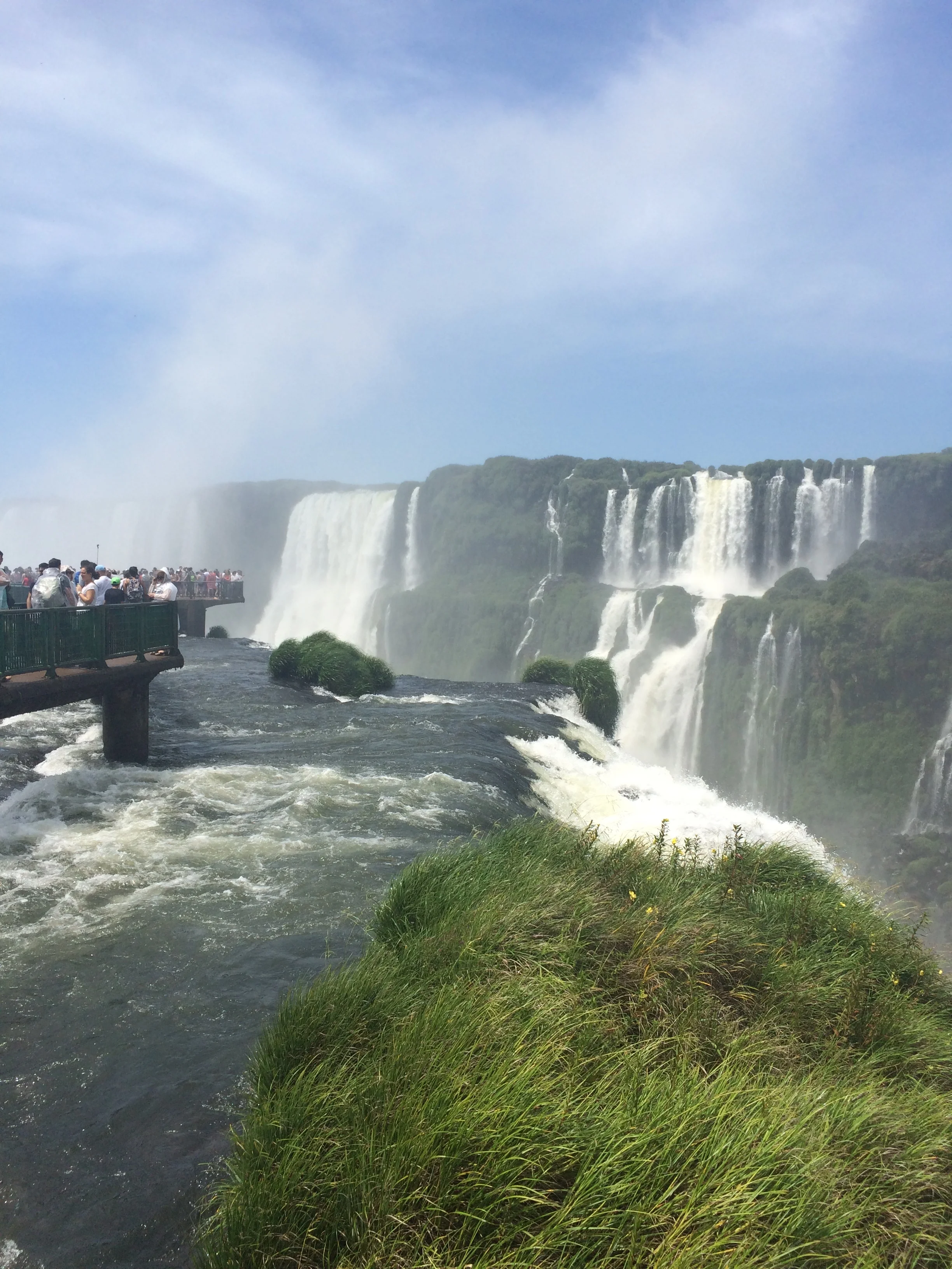
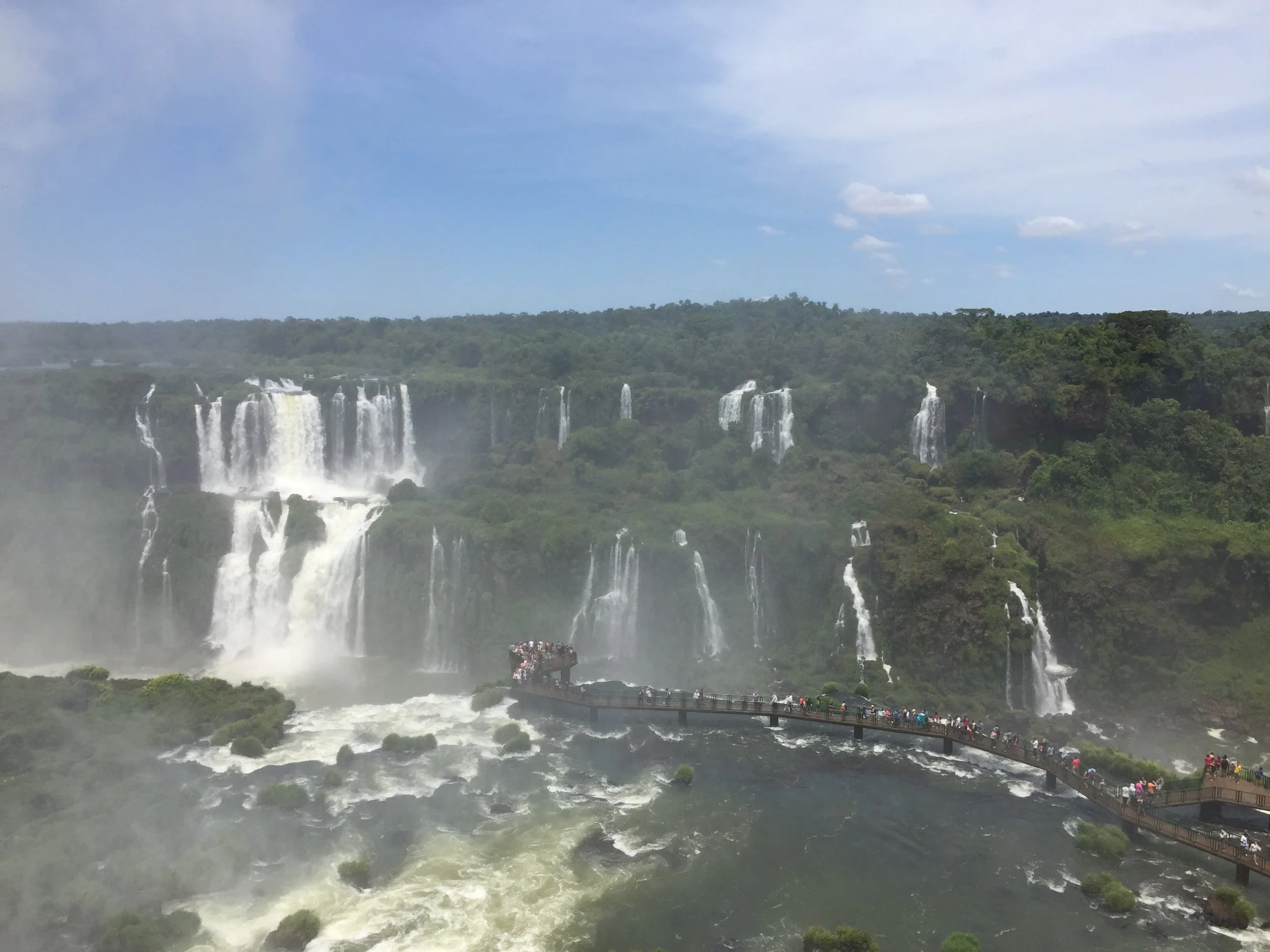
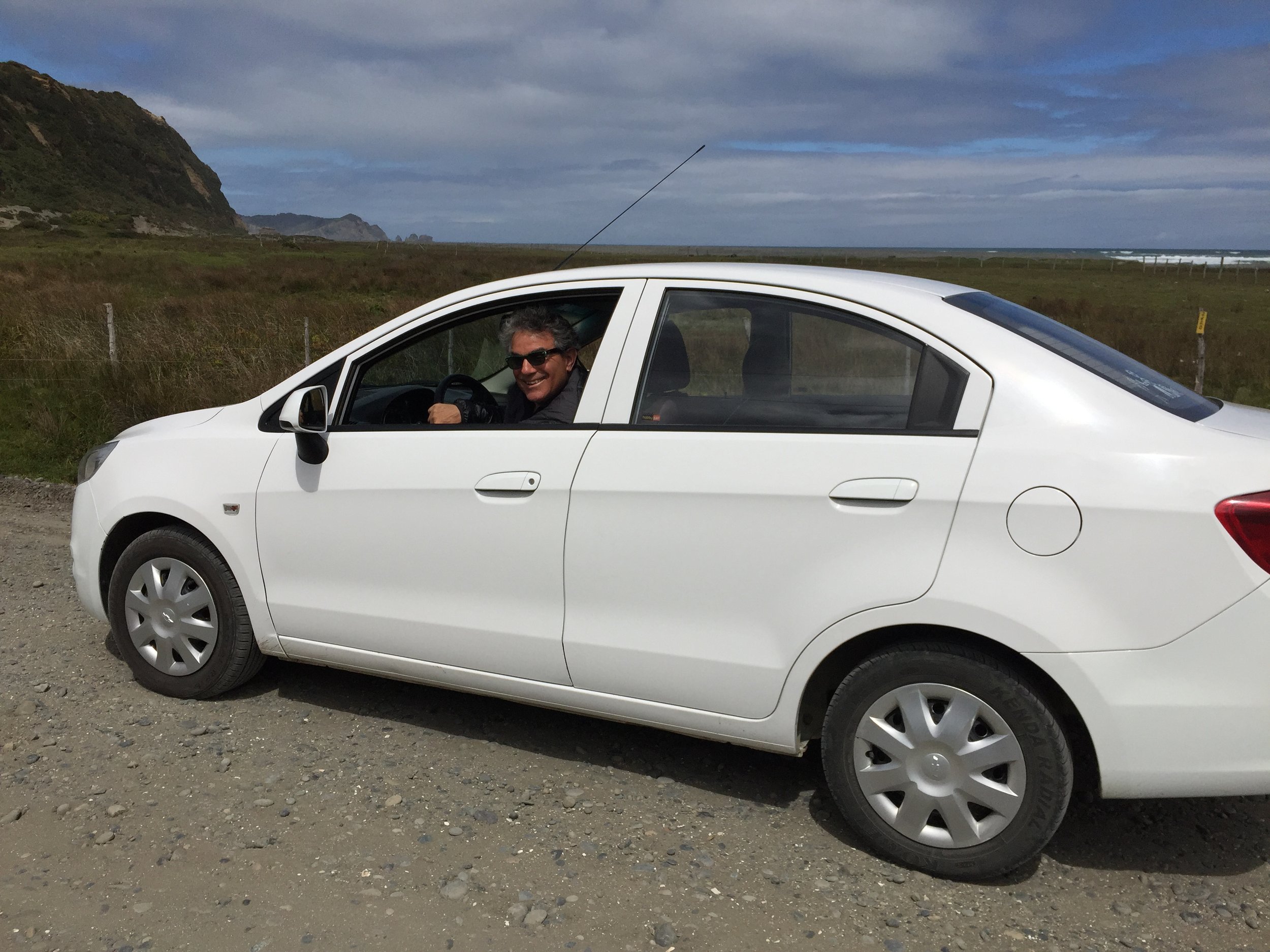
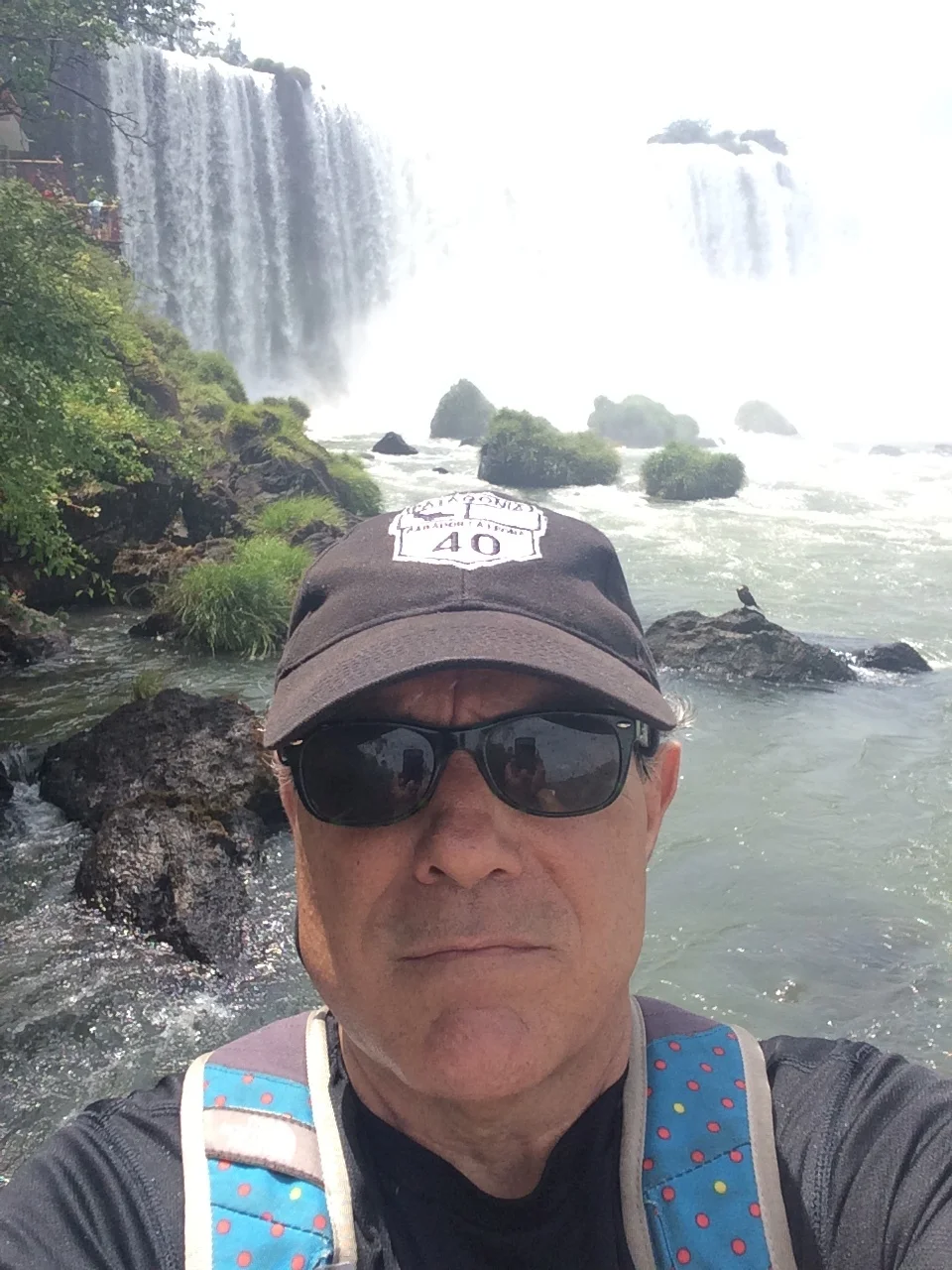
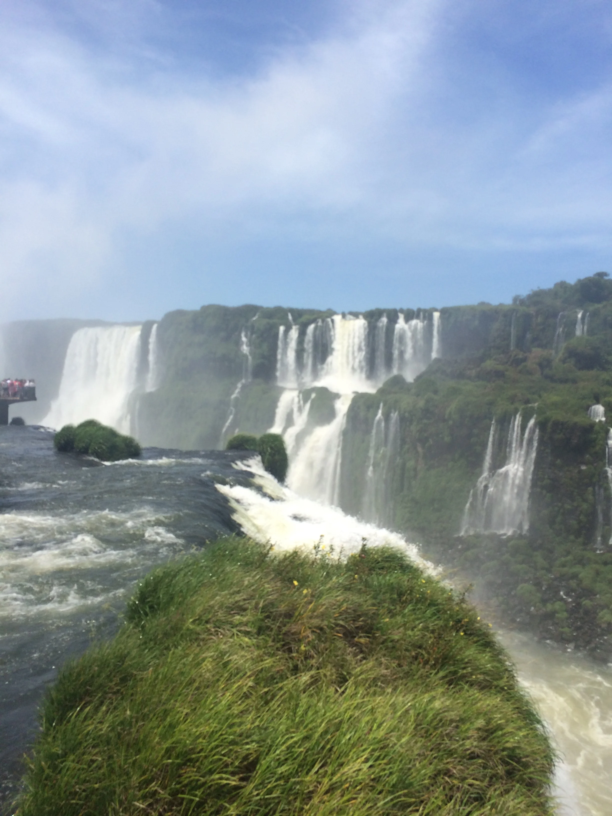
With our original plan of all day now being just 6 hours to explore this very large park we quickly made our way to the park train station to get to the far side of the park and what is known Garganta del Diablo (Devil’s Throat).  The train was nice and reminded us of the train at the Detroit Zoo complete with lots of small children.  After the train we have a long walk, and finally after 5 hours of travel we get our first site of the falls.  This spot is at the top of just one of the sites of falls, here the sound of the falls is so loud you cannot talk, the spray fills the air with mist.  See the pictures below

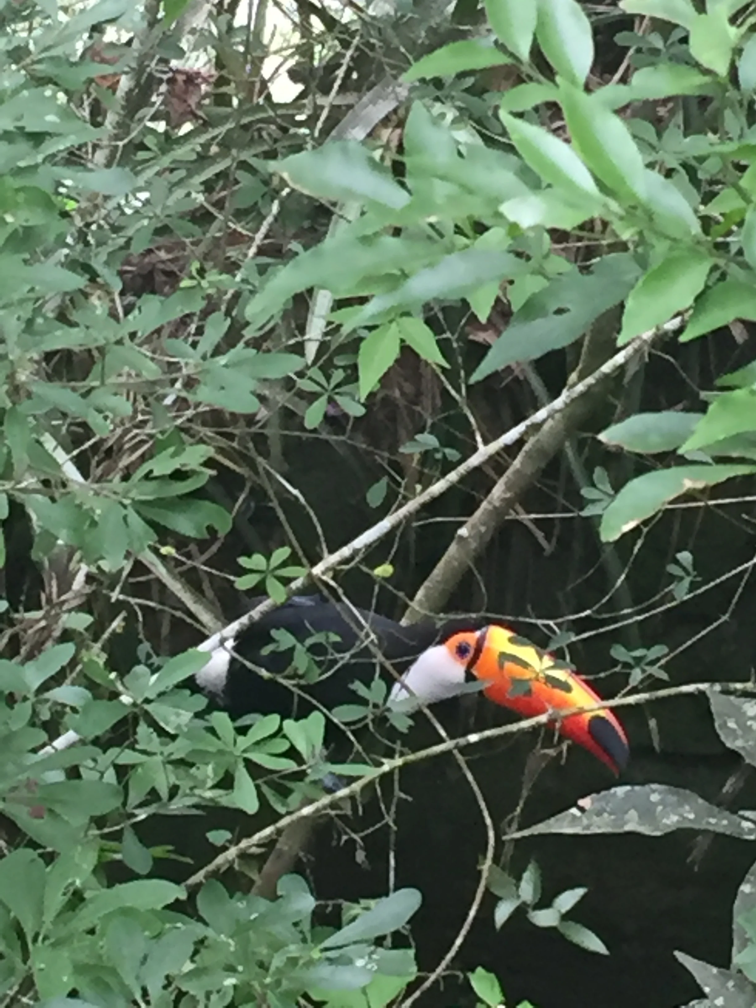
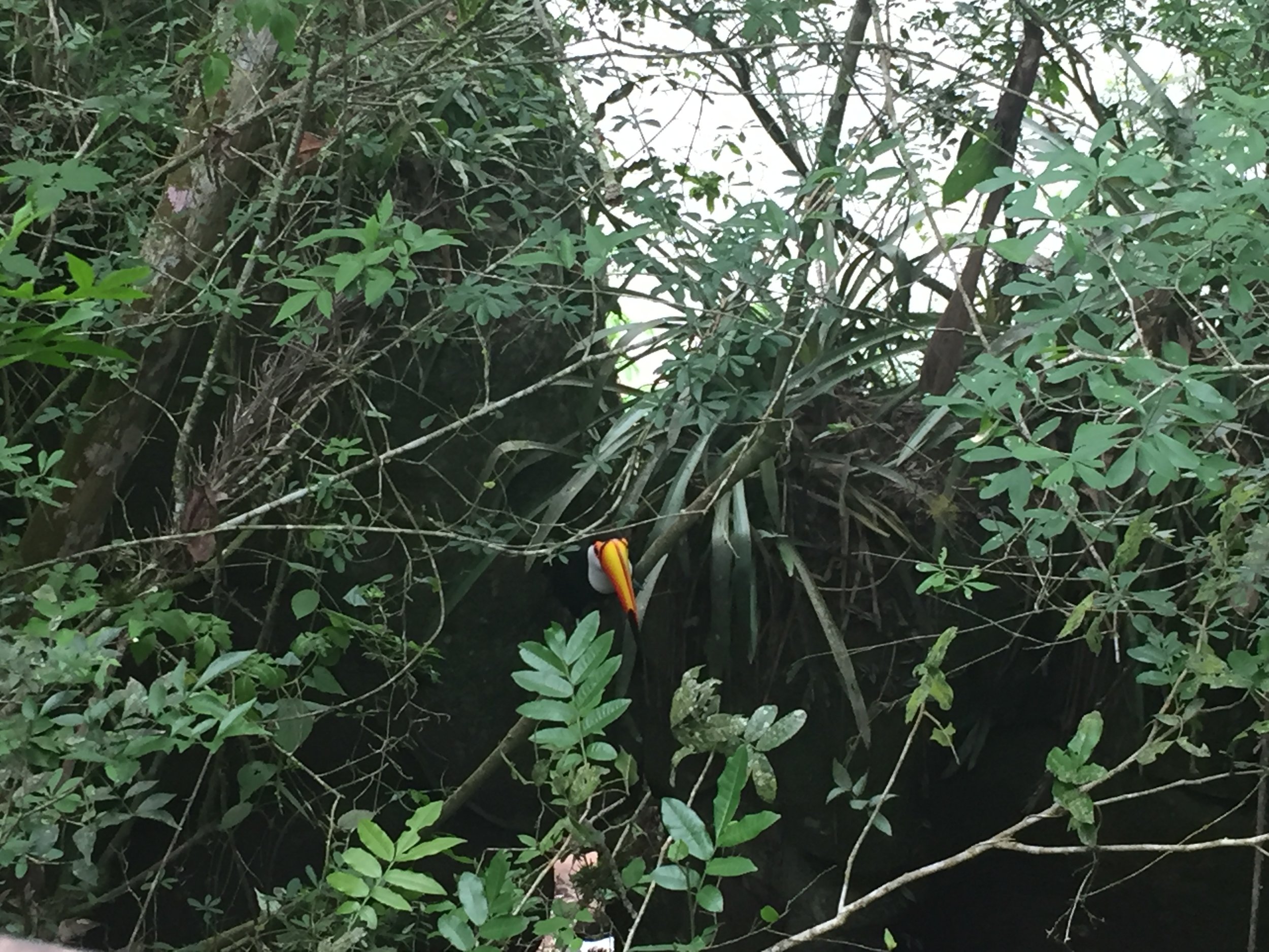
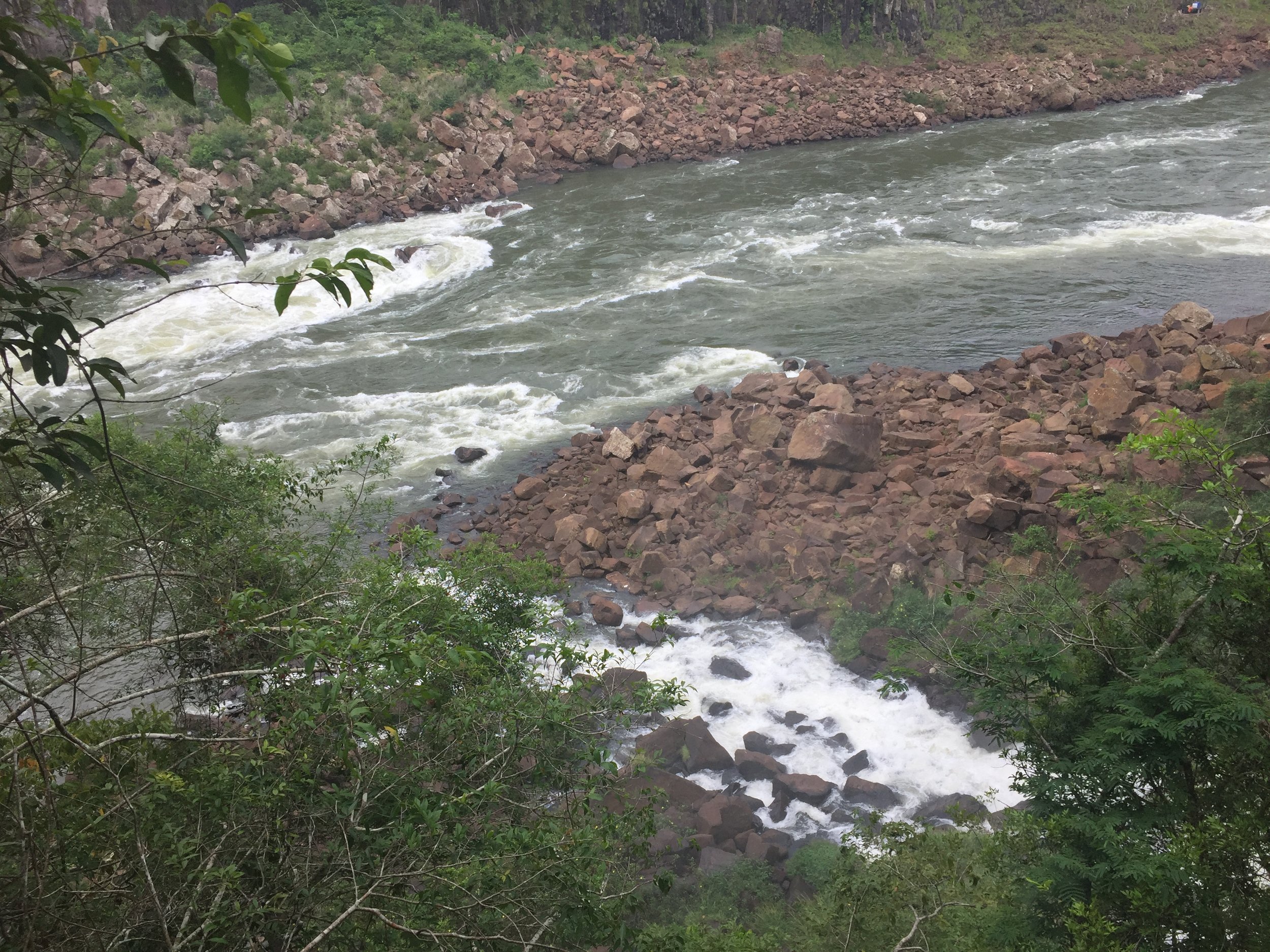
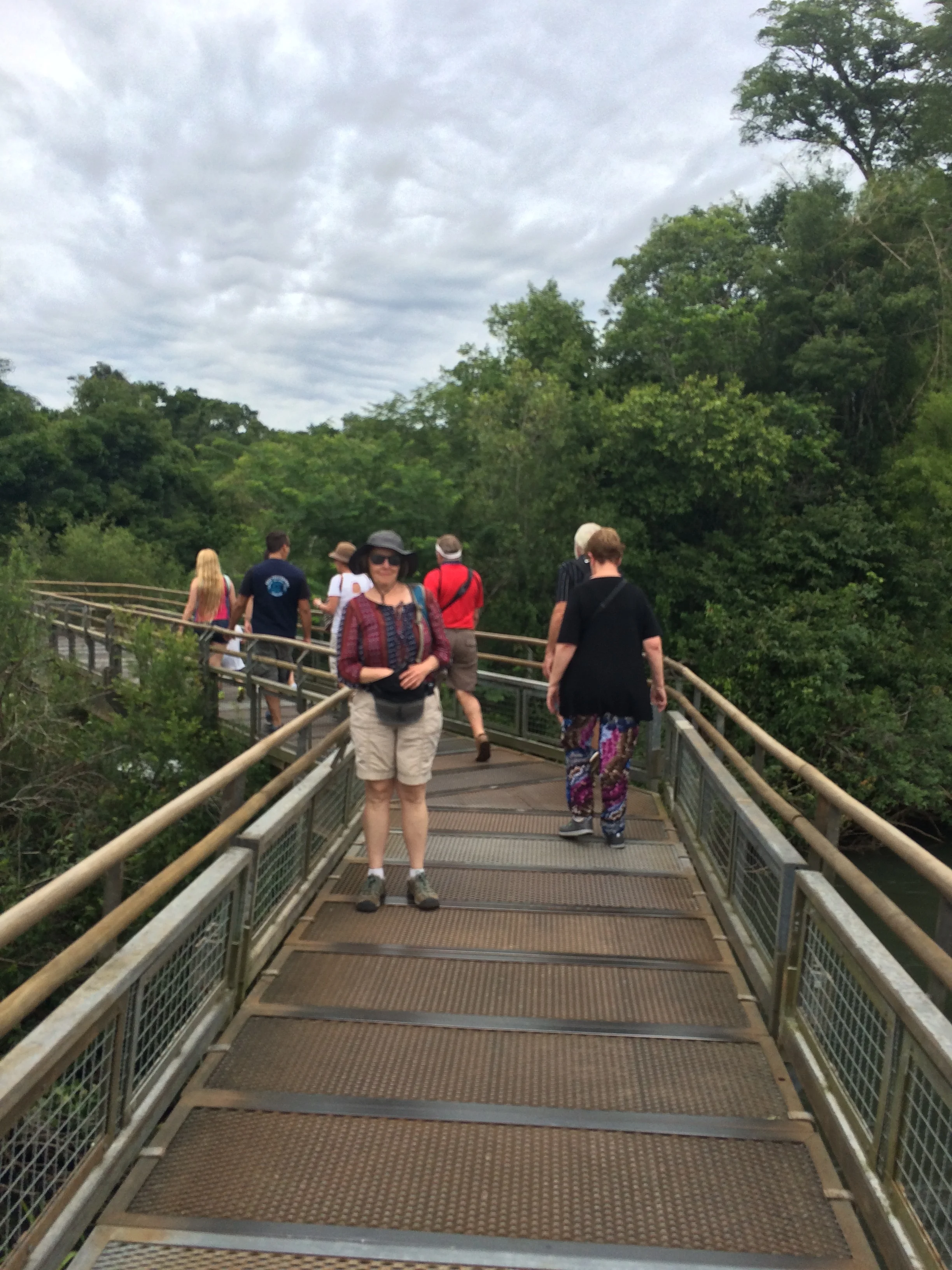
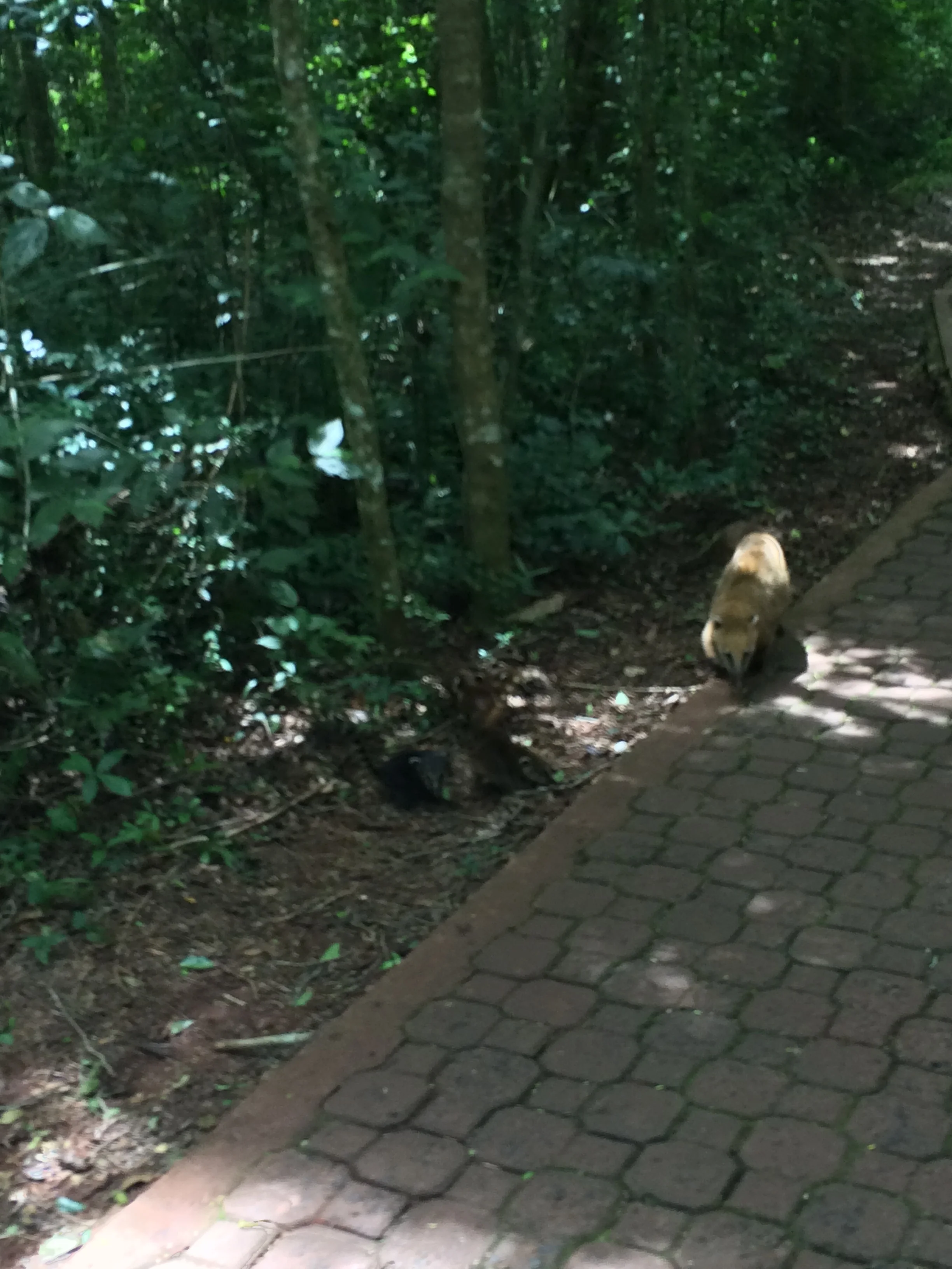
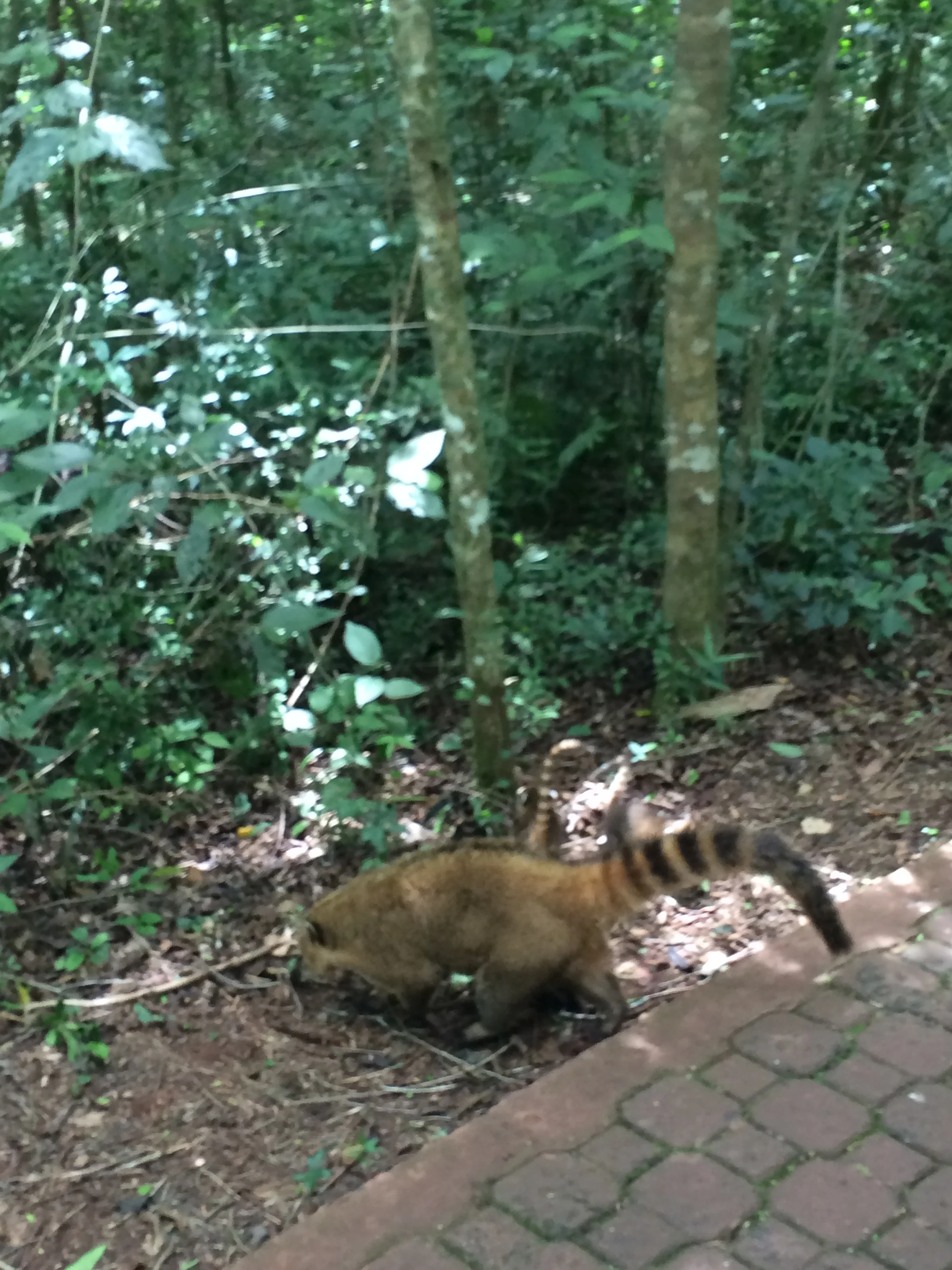
After the big shock of Devils Throat we slow down and plan our walking route.  The park is large and divided into sections, upper and lower falls. You follow metal walkways through a jungle type of forests with smaller falls and wildlife that includes Toucans, a strange raccoon type rodent named a Coati and howler monkeys, see some pictures of all below


The park offers boat rides under the falls for an additional cost.  We debated the ride and finally Frank stated he wanted to go, so off we went down 150 stairs to the boat launch

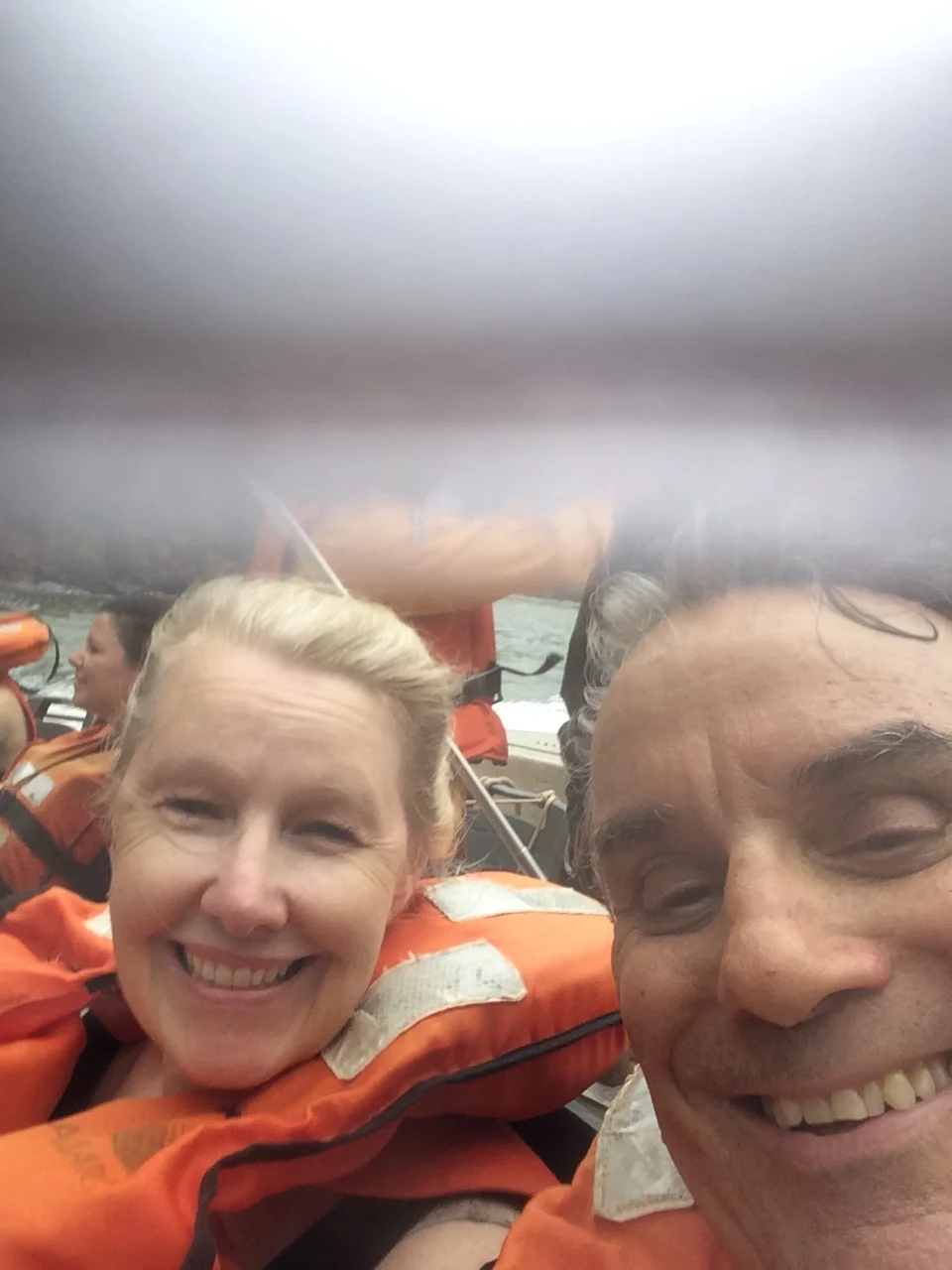
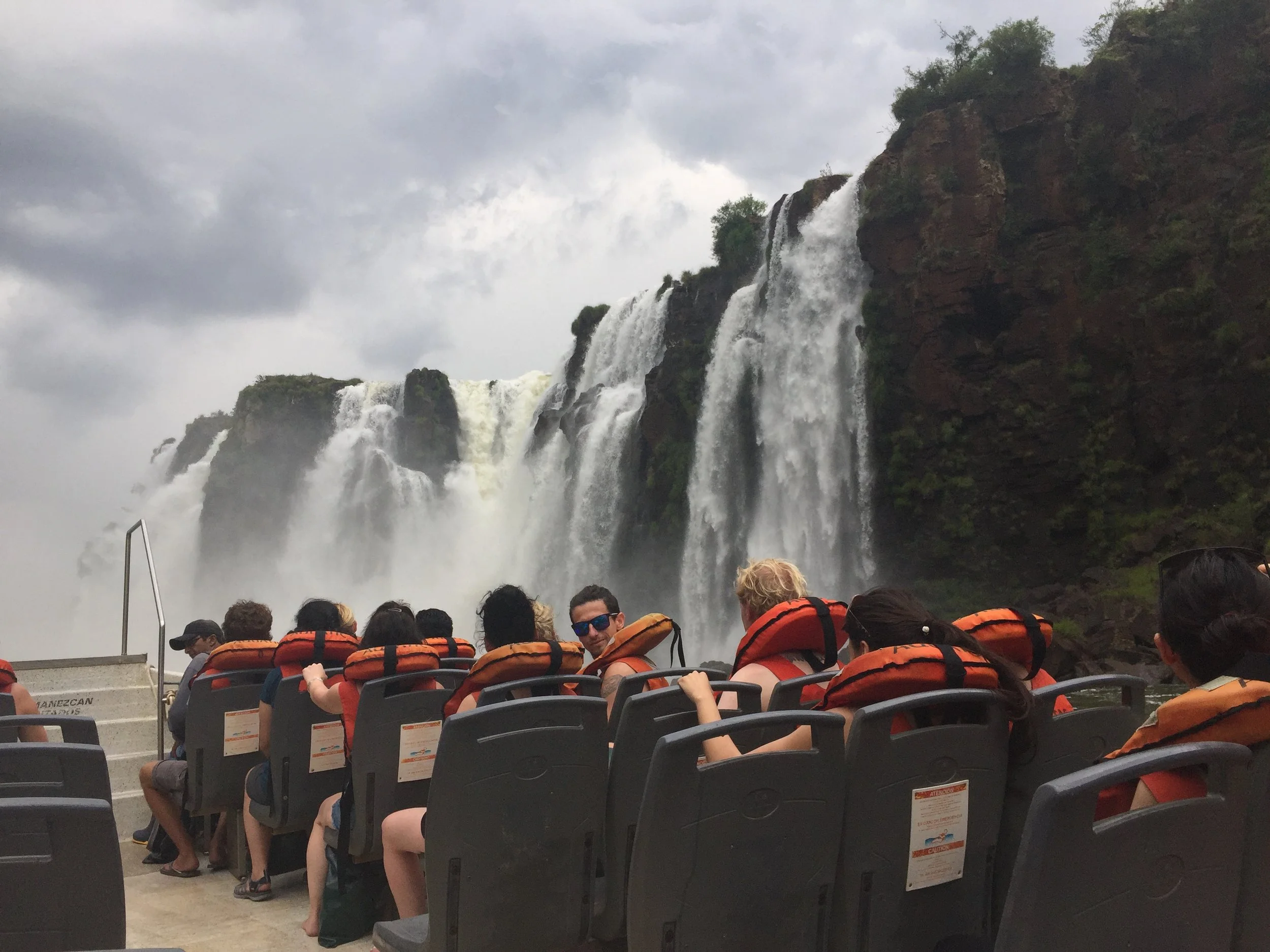
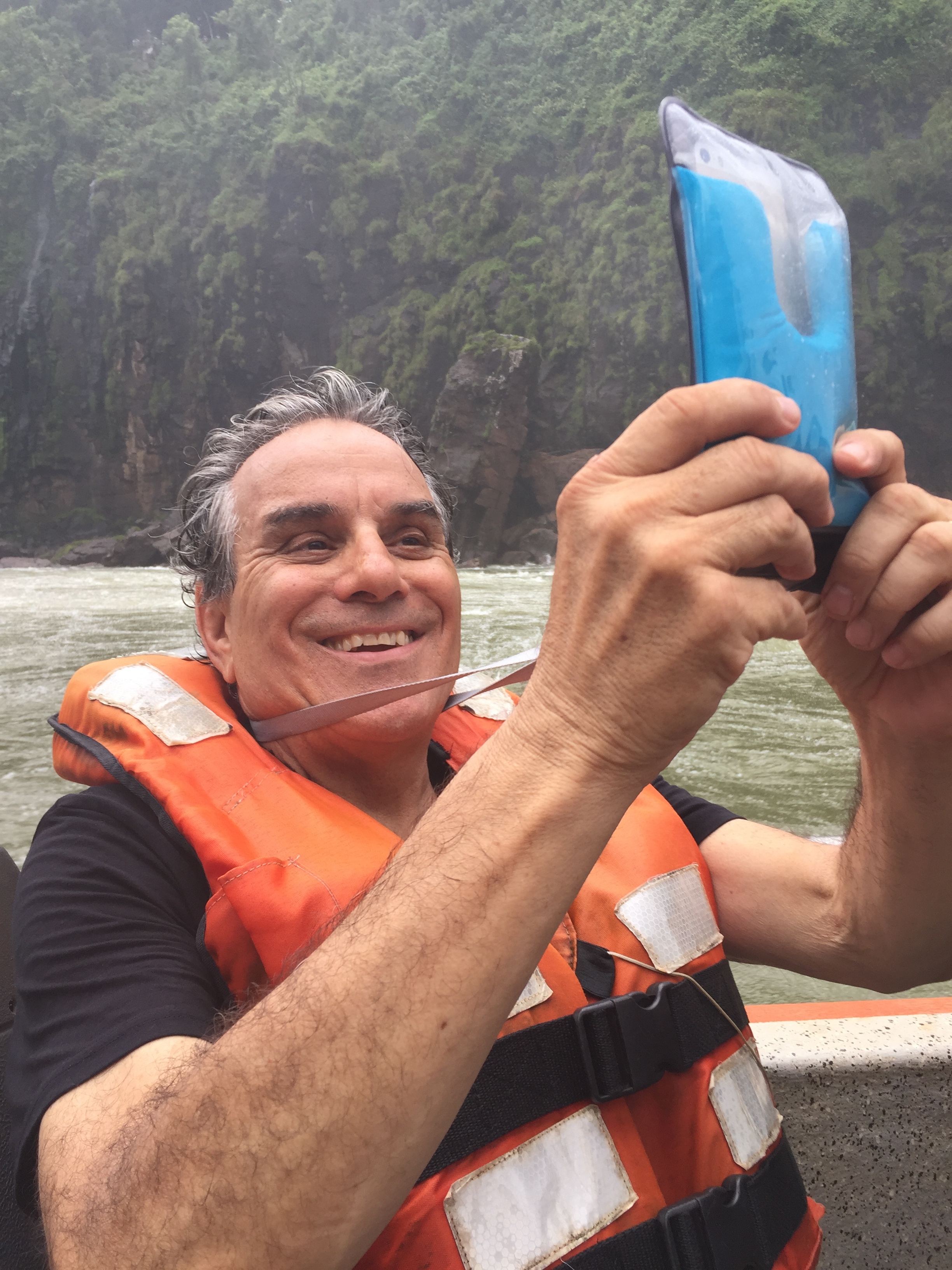
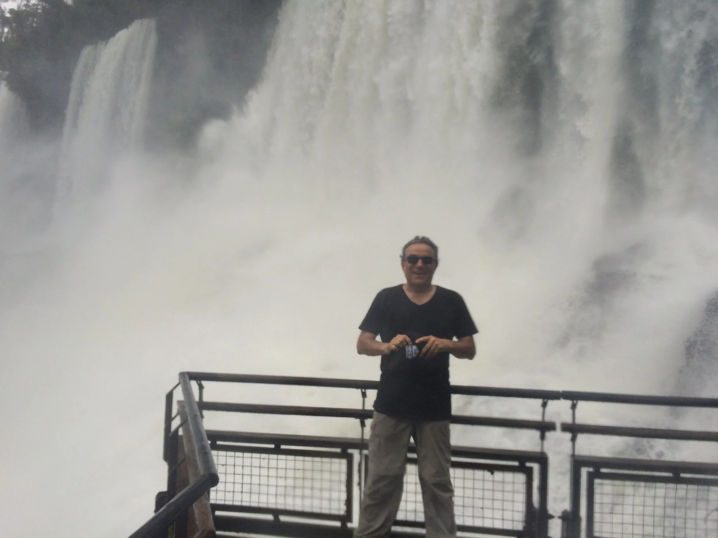
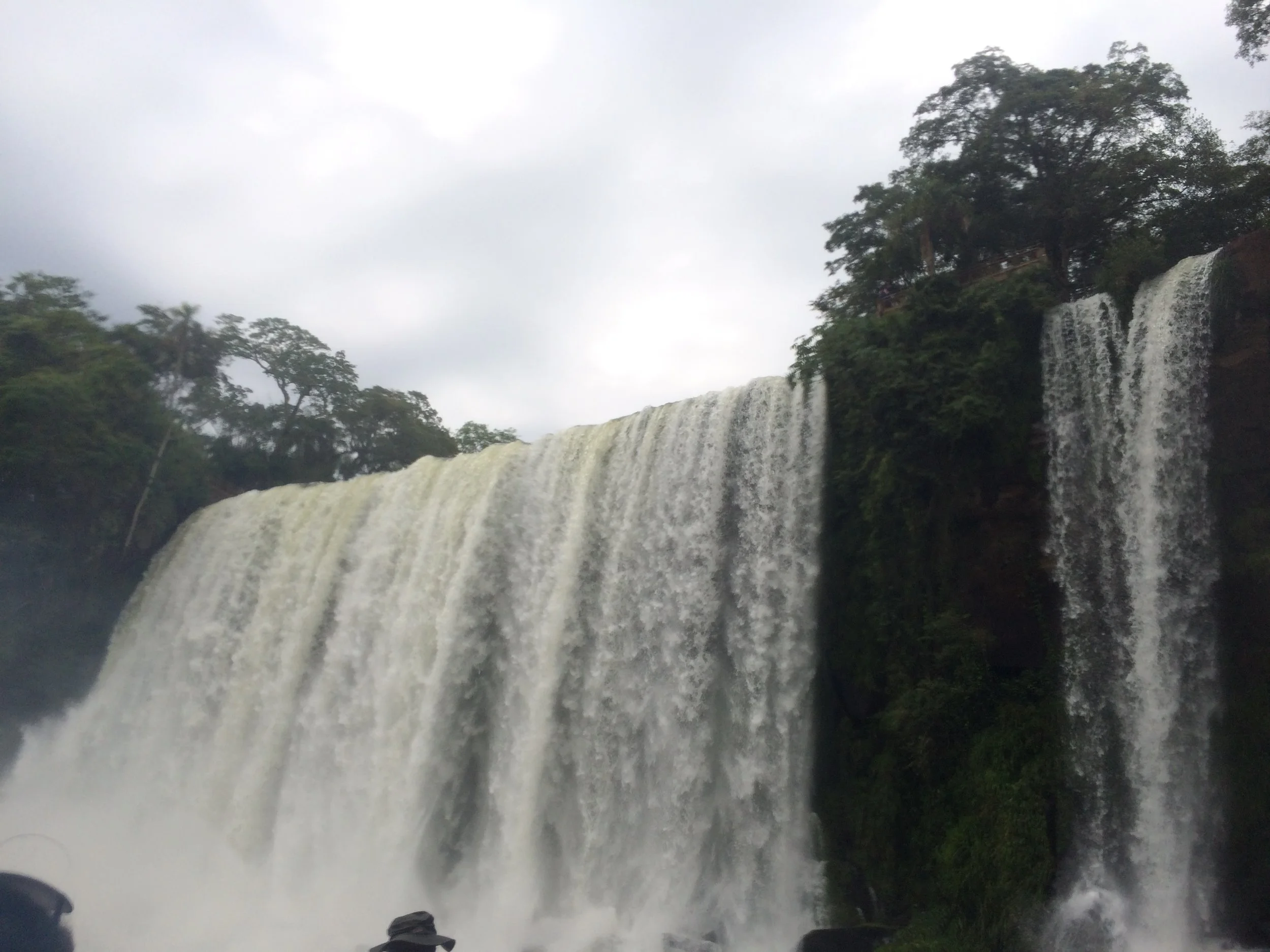
This boat ride is more of a thrill ride than a visual of the falls.  The boat takes you directly under two falls and spins around while thousands of gallons of water pour on top of you.  Frank loved it, I (Janet) hated it.  The photos below tell the story well. 

This is a picture of the boats from above before they get to the falls

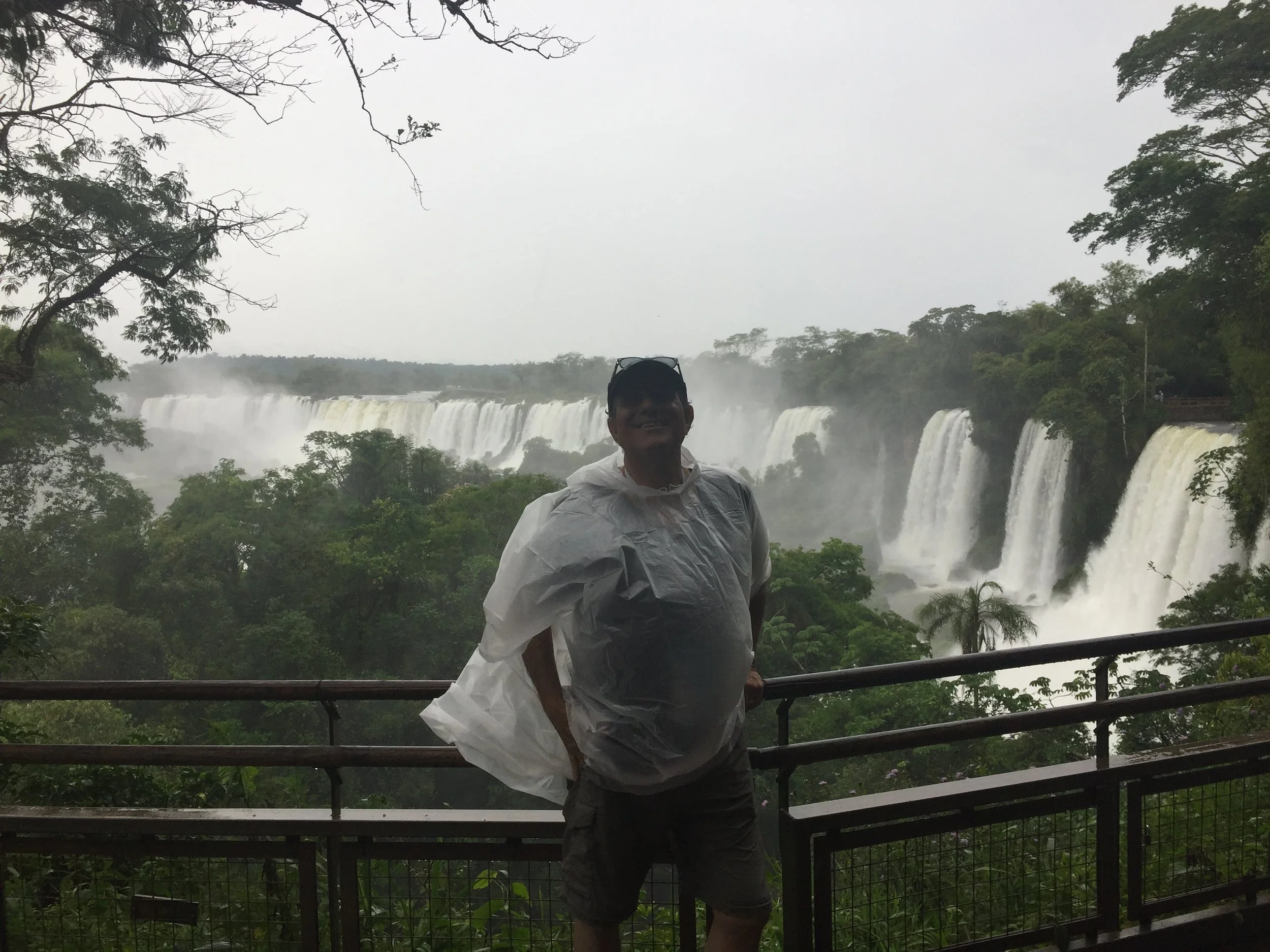
When we emerged from the deluge it started pouring raining, almost like the ride never stopped.  After climbing out of the boat we finished our tour of the park with the aid of some rain ponchos, a hot subway sandwich and one specular site after another.

Great dinner after a hard day of buses, boats, rain and water falls

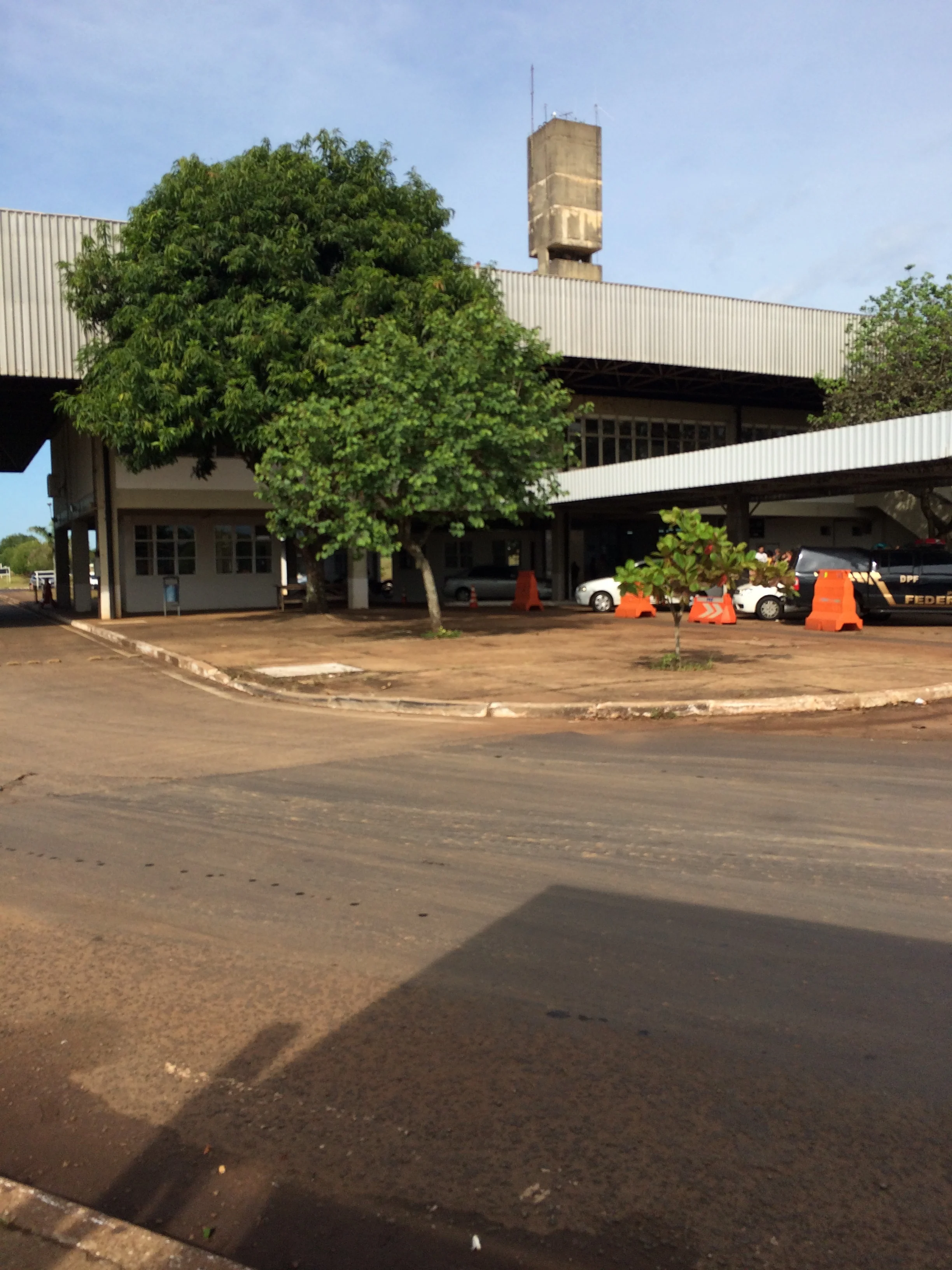
We woke early again on day two and packed our bags to travel to Brazil and the Brazilian side of the falls.  This time we got on the right bus, a local bus packed to standing with locals going to work in Brazil.  The Argentina exit border was easy and after loading back into the bus we got to the Brazil side and stopped, no one got out, but all looked at us and with hand jesters told us we needed to get out, we exited and the bus left us!  Not sure what to do, with no signs in English we spoke to agent told us to go to the customs office where we were processed quickly, we had obtained our Brazilian visa in July at a high cost and big hassle.  Next we were instructed to go to the bus stop and eventually a bus would come by to pick up.  Wow another weird border crossing.  It was hot, and strange.  Finally, we gave up on the bus and got a taxi to the local currency exchange depot and our hotel

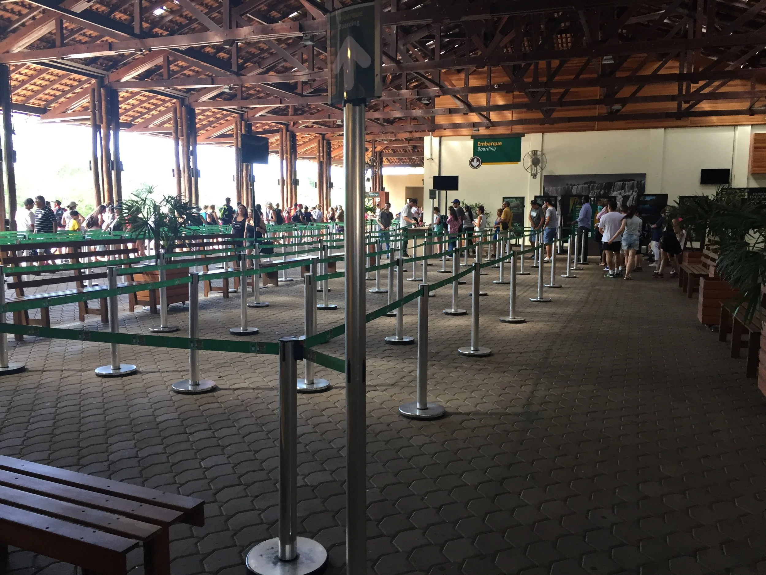
After dropping our bags, we are off again to the falls.  Our hotel is only 2 km from the entry to the park.  Unlike Argentina this entry was really nice with helpful people and clear instructions.  We got on a bus that took us to the trail entrance and right away more beauty.  This park is much smaller but you can see the full panorama view of the falls down a very well maintained path that eventually leads to an elevated platform.  Again see the photos.


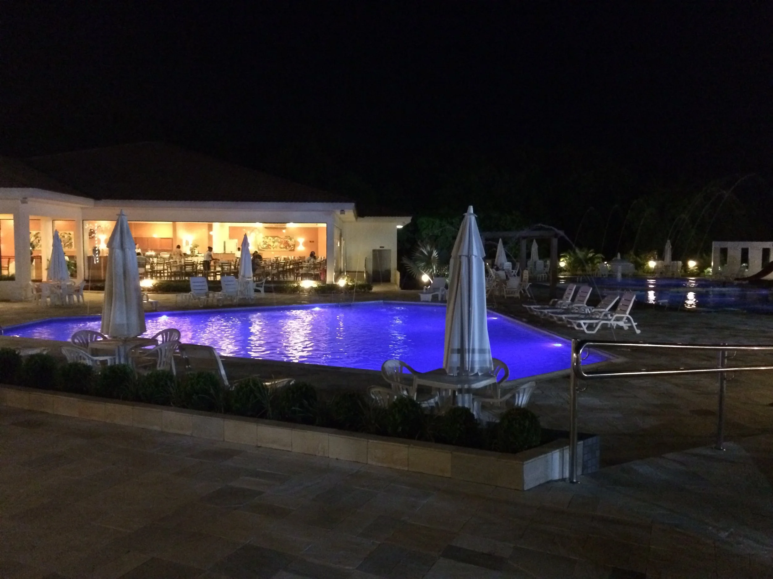
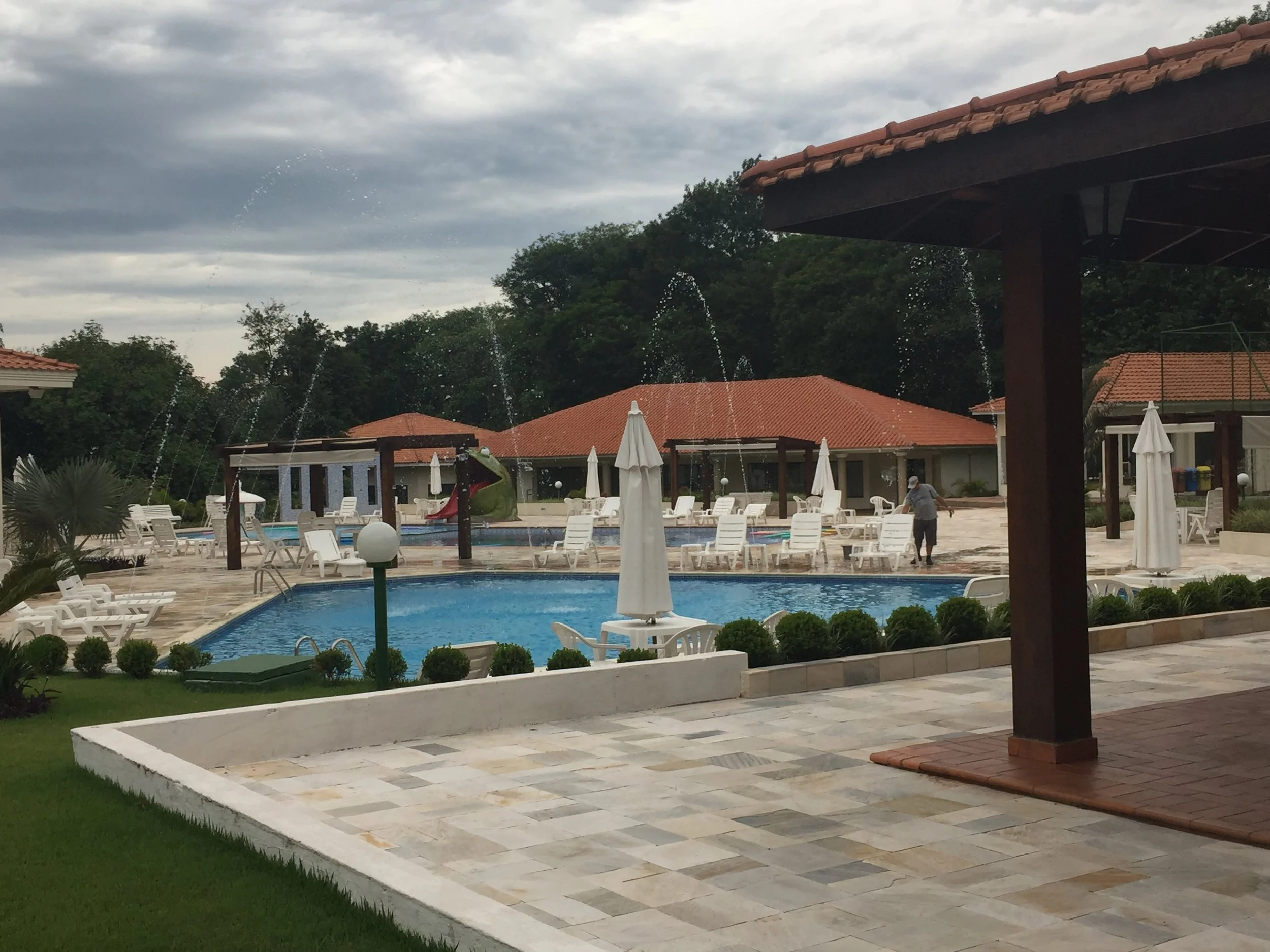
After lunch we returned to our hotel which as it turns out is a resort compete with pool and buffet dinner.  What a treat

Our final day started with rain again so after a relaxing buffet breakfast we head off to the airport and São Paulo.

Buenos Aires Argentina

Buenos Aires

This day was a big hassle. We got up early to take an early shuttle from the lodge at the Torres park entrance with the plan to take the early overland bus to Puerto Natales, Chile.  Then we had to catch another outgoing overland bus to our old stomping grounds in El Calafate, Argentina for a flight from there to Buenos Aires. Of course, when we get to the entrance at 9 am we find out that there are no buses running until 2 PM. Better planning would not have helped, since our air flight was the next day and we had to leave Chile and get back to the closest airport, that was in Argentina. We were not alone. Some fellow gringo backpackers from San Francisco and Chicago, in-laws, were also stuck. They had prearranged tickets, but their bus was also coming in the afternoon. At first we were ticked off by the wait, but we all killed time sharing stories and adventures and slight personal histories. The husband from Chicago who I dubbed “Ironman” had twisted his ankle and could not wear his normal boots as there was too much pressure on the sore spot. Instead, he wore flip flops up the trail to the Towers. That was unbelievably crazy to me, but his group confirmed it.  Also, I had actually observed a trekker walking barefoot at Fitz Roy, so it is not impossible. Our little group had a nice time hanging together and then we ended up taking the same bus back to Puerto Natales, Chile for one night. We stayed at the same Hostel Morocho, and left early for the bus that would take us to El Calafate, Argentina by mid-day. We arrived in El Calafate, and simply dragged our luggage around to our favorite restaurant for lunch. They called us a cab to take us to the Airport which left promptly at 7 pm.

Lunch in El Calafate

Breakfast on the balcony of our Airbnb

Breakfast on the balcony of our Airbnb

Finally, we arrive in Buenos Aires by 10 PM. We caught a cab to our Airbnb in the Polermo District of BA. We liked it. This 3rd floor modern Airbnb was a one-bedroom apt. with 1.5 baths, nice kitchen, laundry on premises, and good security. Pablo met us at 11 PM to let us in and called once again the next day to check up. He left us his SUBE card which gives access to all busses and subways which we then used often to get around.

Buenos Aires is a mega, world class city. It is said to be the top tourist city in South America. It is multicultural from 150 years of inviting immigration, raising the population to 13 million people who live in the metro area. The largest ethnic group is actually Italian, a lot of Spanish and Germans too, with the largest Jewish population in South America, and a good smattering of Asians.

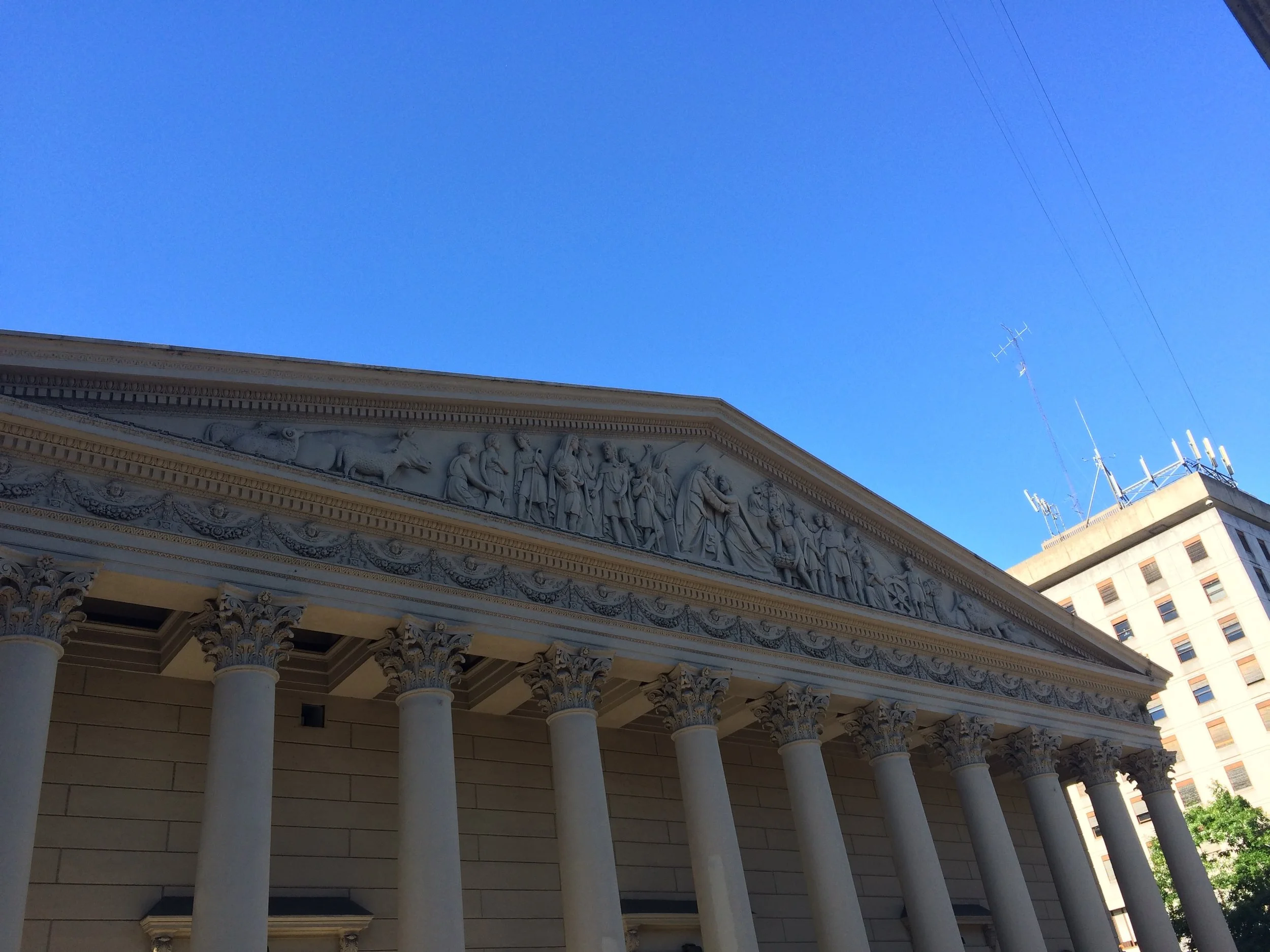
The Cathedral

The Cathedral

FullSizeRender.jpg

BA is the Home of Pope Francis and we had a chance to walk in to his Cathedral.  Also, we were lightheartedly shown a poster of the Pope proudly displayed at his barber shop, “We cut the Pope’s Hair”. 

Our usual mode of operation is to discover the city with walking tours. We checked the map.  

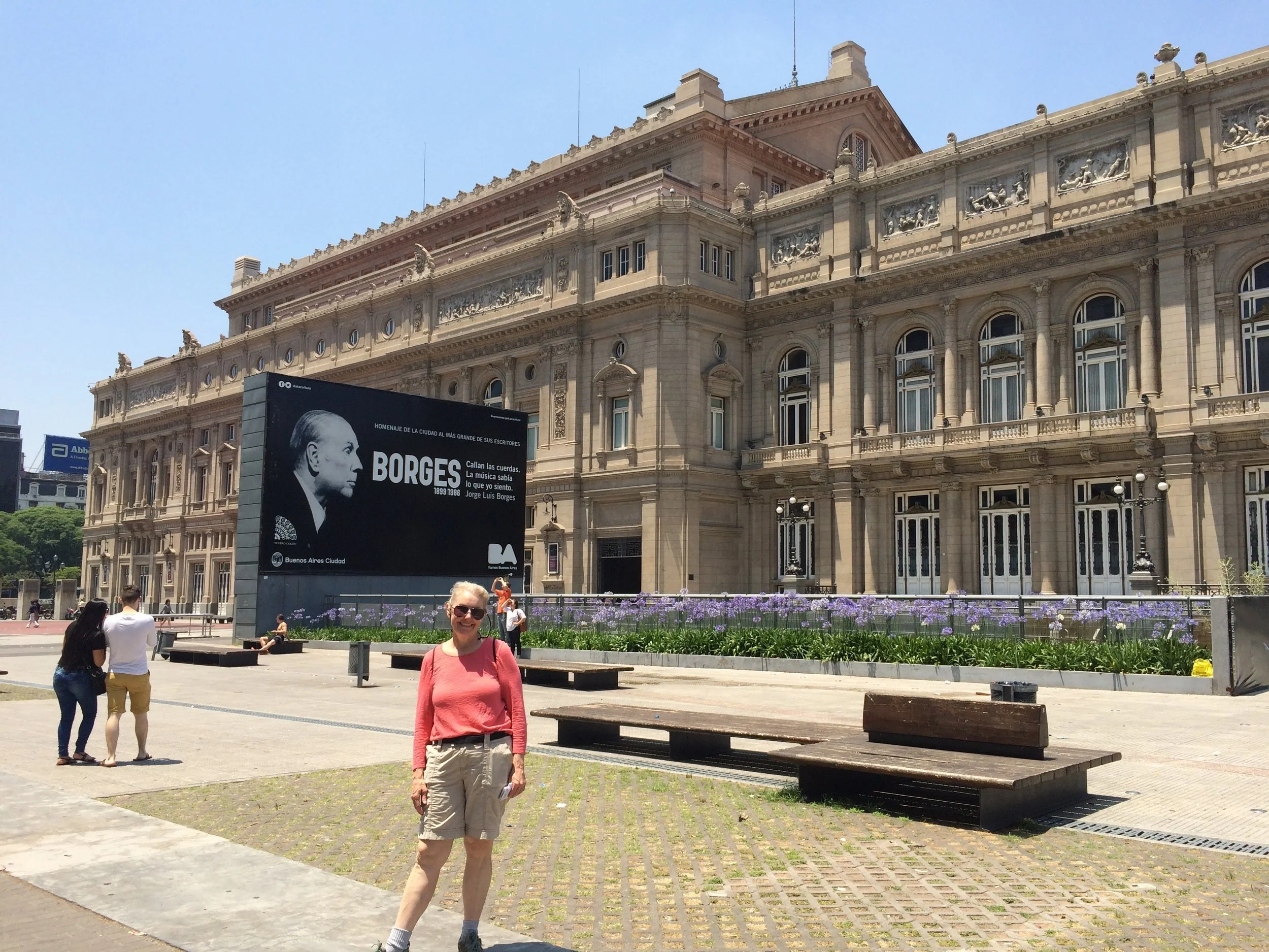
For walking tour No.1 we were met at the steps of the world renowned Opera House. We decided to take the bus across town. When we got to the bus stop, it just was not clear as to which bus numbered route to take. We asked different people who tried to help and we would cross the street to another stop for pickup. Wrong again. Before we made any fatal mistake we changed our tactics and decided to take the subway. We were at the entrance, we had the SUBE card and a map. We knew we had to get to the Opera House. We checked the board for the correct line and jumped on. The SUBE is modern, clean and fast. We arrived on time. 

FullSizeRender.jpg

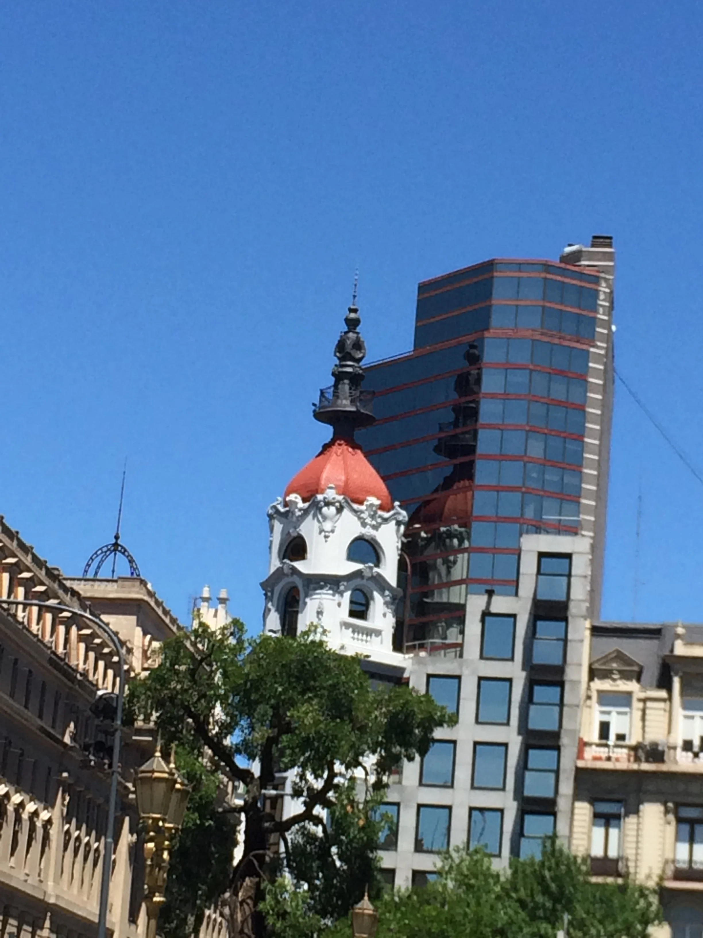
Buenos Aires has a mixture of architecture, but in its post-colonial days wanted to emulate France.  Its government buildings were in the French provincial style, as were many of its first commercial buildings. BA was sometimes referred to as the Paris of South America. Later the architecture emulated New York with Empire State building clones.  Today there is a combination of the French style and then the modern touch. It is eclectic and there are not always smooth transitions.  

IMG_4937.JPG
FullSizeRender.jpg

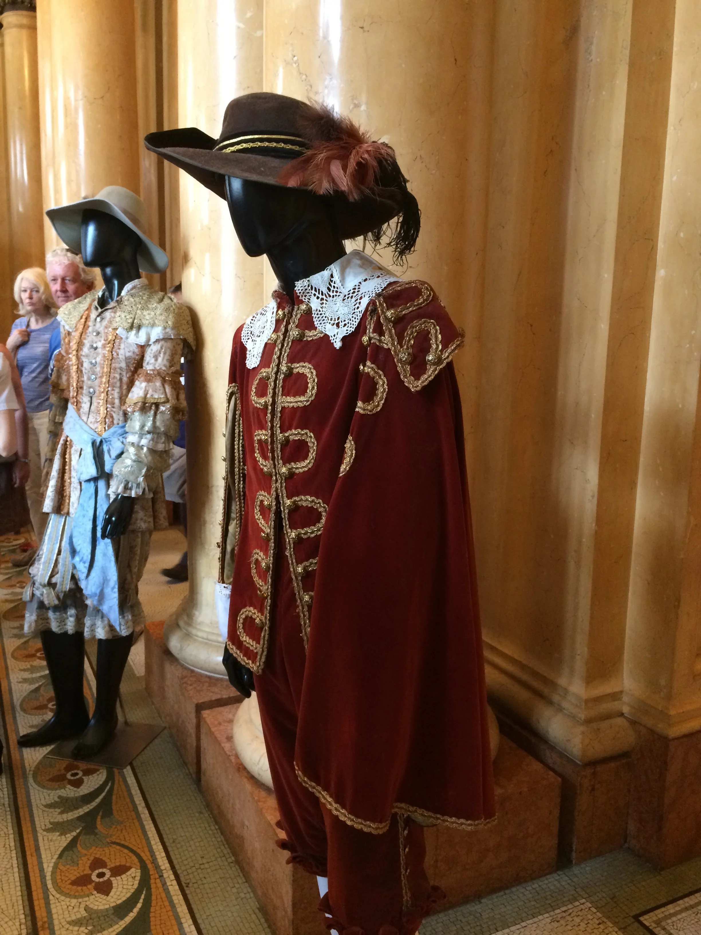
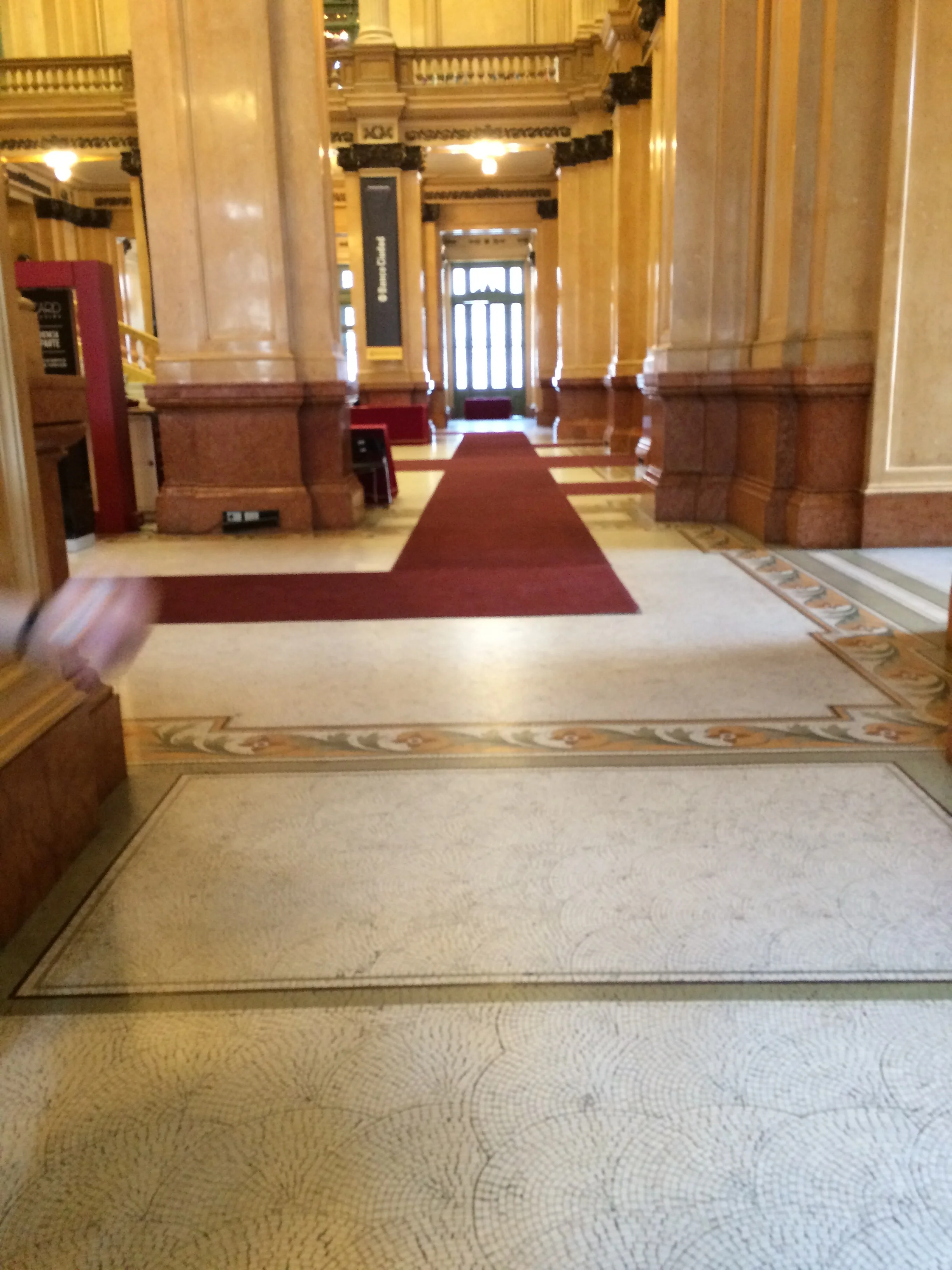
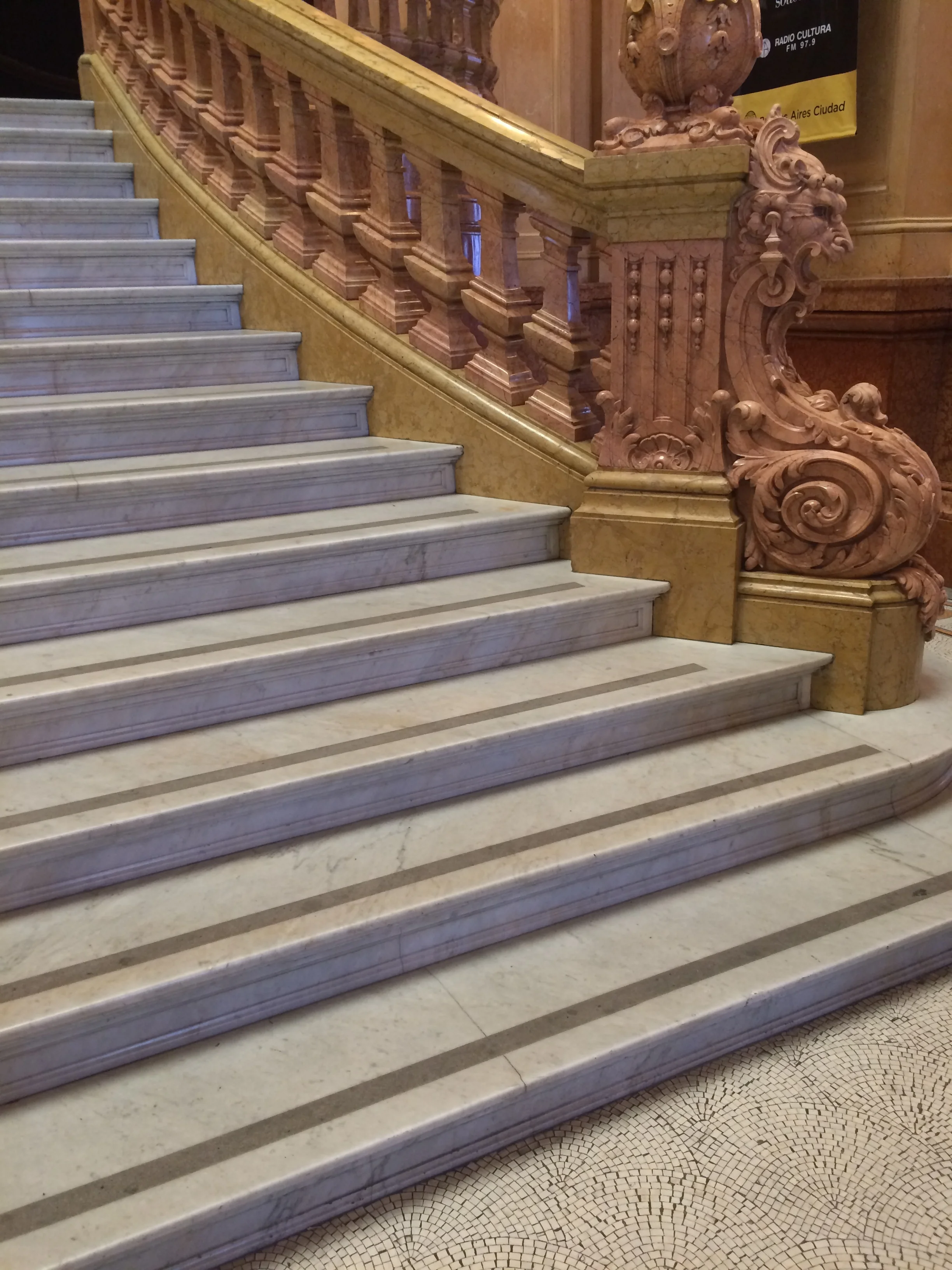
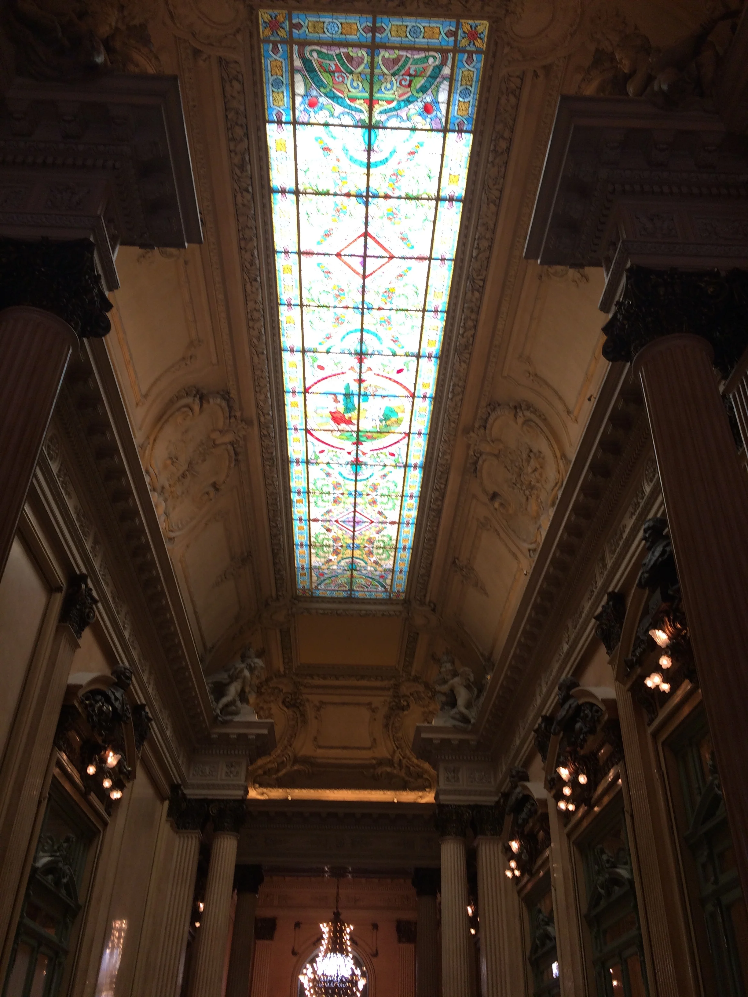
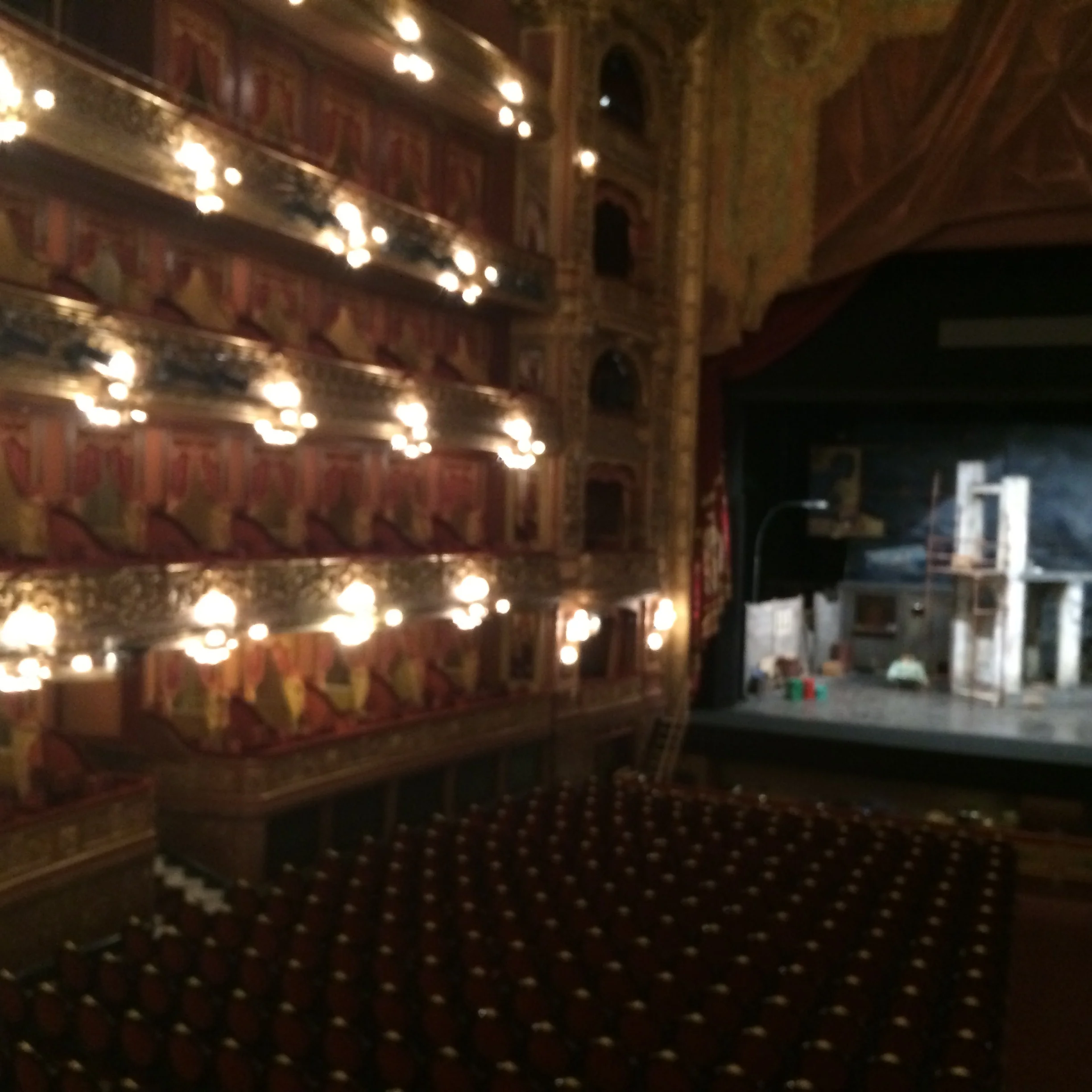
The Opera House is the pride of BA and Argentina and was designed by Italian Architects. The building materials were imported from Europe and no expense was spared with beautiful murals, gold leaf paint and stained glass.  At this time in history Argentina had become the 5th richest country in the world and wanted to show off it new prosperity. The Opera house had perfect acoustics within its 3 deck seating auditorium. The lower levels had full workshops to create ward robes and scenery. As well as Opera, there is Ballet and Orchestra presentations. Check out the photos in the gallery below

FullSizeRender.jpg


The Pink Palace is the residence of the President. It was designed in the French style. The Baine of S. America is the internet. Tours of the palace must be made on line and by the time we finished the Opera House tour, we had little time or opportunity to get connected. As well, English speaking tours are only available once a day at 2 pm, not like the multiple Spanish tours.   

This was an unfortunate miss.

FullSizeRender.jpg

The city has very large boulevards which move traffic efficiently and add a touch of elegance. The boulevards lead to the various plazas around the city commemorating the immigrants and countries that have affected BA. There are plazas for Italians, British, French, Germans, Irish, etc. There is also a tall slender obelisk that looks kind of like Washington Monument. It is called “Obelisk”.  It was these type of design foibles that had our guide making fun of the City Planners of old and new. He was critical that BA planners where looking backwards 200 years for French and European styles and not looking ahead as a new world Country. Our guide as a person who has lived through military coups and erratic inflation was somewhat militant about the history of Argentina and the many governments.

One building for which he was proud arose from the large, multi-story Eva Peron facial sculpture on the side of this building. The Peron’s, the President and his wife Eva Peron, where both beloved and hated by the people of Argentina. As usual, political winds are fickle. Nevertheless, the metal sculpture of Eva Peron is dramatic. 

The next day we took Walking Tour No.2

As is often the case in South America, there are public protests in the government office area of Buenos Aires.

We observed but avoided the protesters that had placards and banners.  Our second Guide, was also somewhat militant and political. He also told great stories.


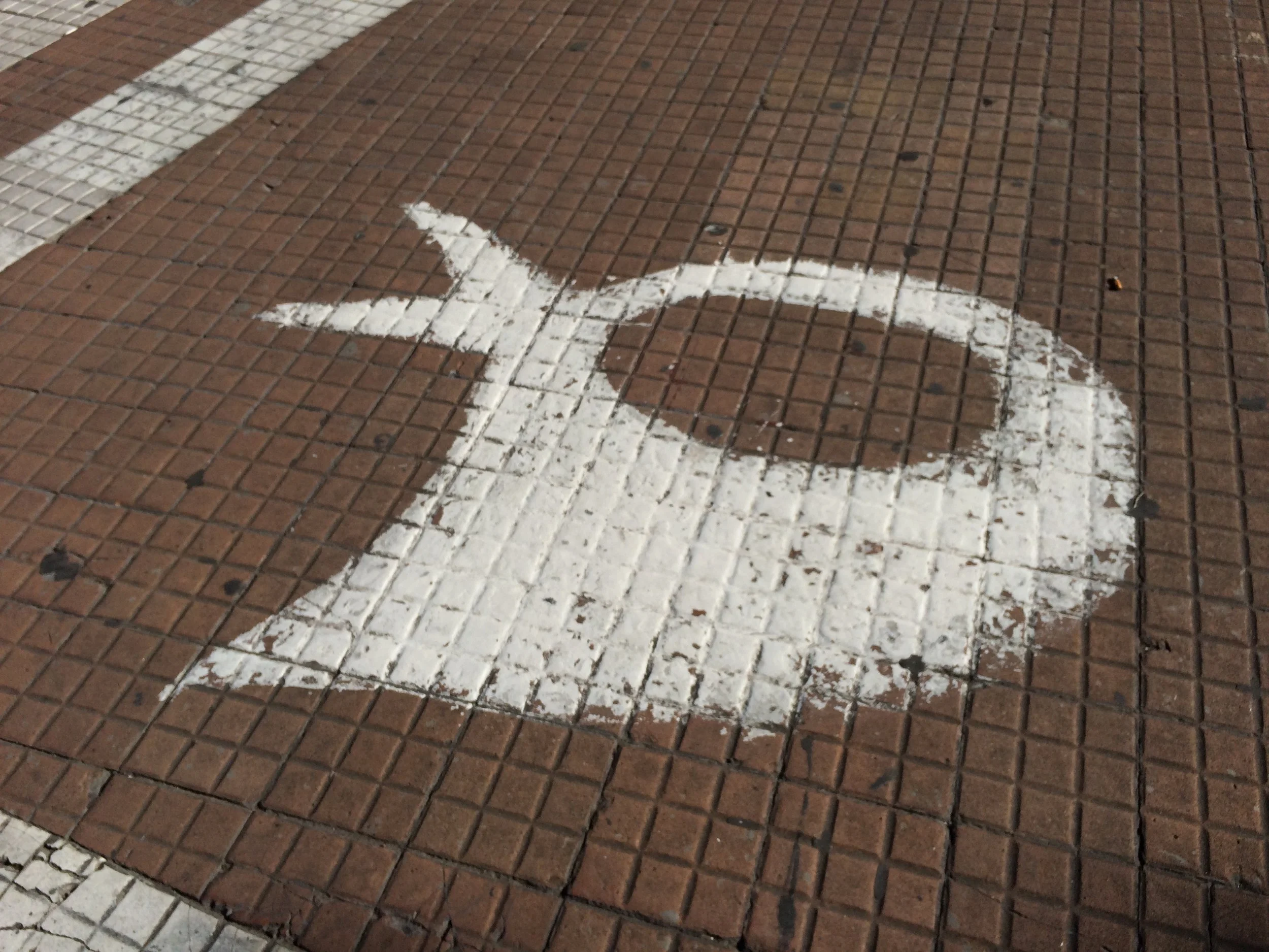
In the center square near the Palace, there is a Plaza which has odd white paintings on the ground. These figures represent white bandanas. During the last recent military government of AR, many persons where rounded up and arrested for sedition. They were never heard from again and the government simply denied that any one was missing or that such persons existed. The government also prohibited demonstrations. But what the government could not or would not do was arrest the mothers wearing white bandanas marching in a quiet circle around the Plaza in mourning for their lost children.    

The white bandanas 

The white bandanas 

Another most interesting story was about the challenge and competition between 3 wealthy Buenos Aires women. The first two women were widows from old money and very wealthy. They would compete for prestige in the community, and the best way to do that was support the Catholic Church with large offerings. The richest and most prestige woman had a son who fell in love with an immigrant’s daughter. She would not allow this relationship and threatened to disinherit the son. Here, money was thicker than love and the son left for Spain. Her son now protected, the women continued to donate and gave sufficient amounts to fund the building of a Cathedral for all to see and admire. The immigrant father was an industrious man and had been given the keen advise to buy as much “barb wire” fencing as he could. In those days the government’s immigration policy allowed man to keep as much land as they could fence. The man became very wealthy and his daughter benefited. The daughter also kept grudges. Near the time of completion of the widow’s Cathedral, the immigrant’s daughter purchased all the surrounding land and had large office buildings built all around the perimeter of the church. The view was blocked. Now you can only see the front to the Cathedral when walking on the narrow street named” Corina Kavanagh”!  A true story.     

The narrow view

Finally, the guide took us to the former site of the Embassy of Israel which had been bombed. To his regret, the authorities had never completed a satisfactory investigation into this terrorist act. The site is now a nondescript concrete park.


Eva Peron Burial site

Finally, the guide took us to the Cementerio de la Rocoleta of Buenos Aires. The relatively small site has rows and rows of above ground mausoleum that where designed and crafted by some of the world’s great renaissance sculptors. As well, this was the location of the Eva Peron burial site, which was discreetly part of her family’s burial structure.  Adverse politicians had caused her body to be interned at many different location and then finally come to rest here. The public, however, did not forget her and showed their respect.  

FullSizeRender.jpg
IMG_4913.JPG
FullSizeRender.jpg

Shopping street San Francisco Ave.

That afternoon, we had an opportunity to walk San Francisco Ave. in the famous Recoleta District and do some window shopping and a little actual shopping. We also walked to the Polo Grounds to buy our tickets for the weekend semifinal championships. We wanted to do something unusual in BA. Unfortunately, there was no Opera House productions scheduled during our timetable, so we thought “SPORTS”.

IMG_2828.JPG
IMG_5186.JPG
FullSizeRender.jpg

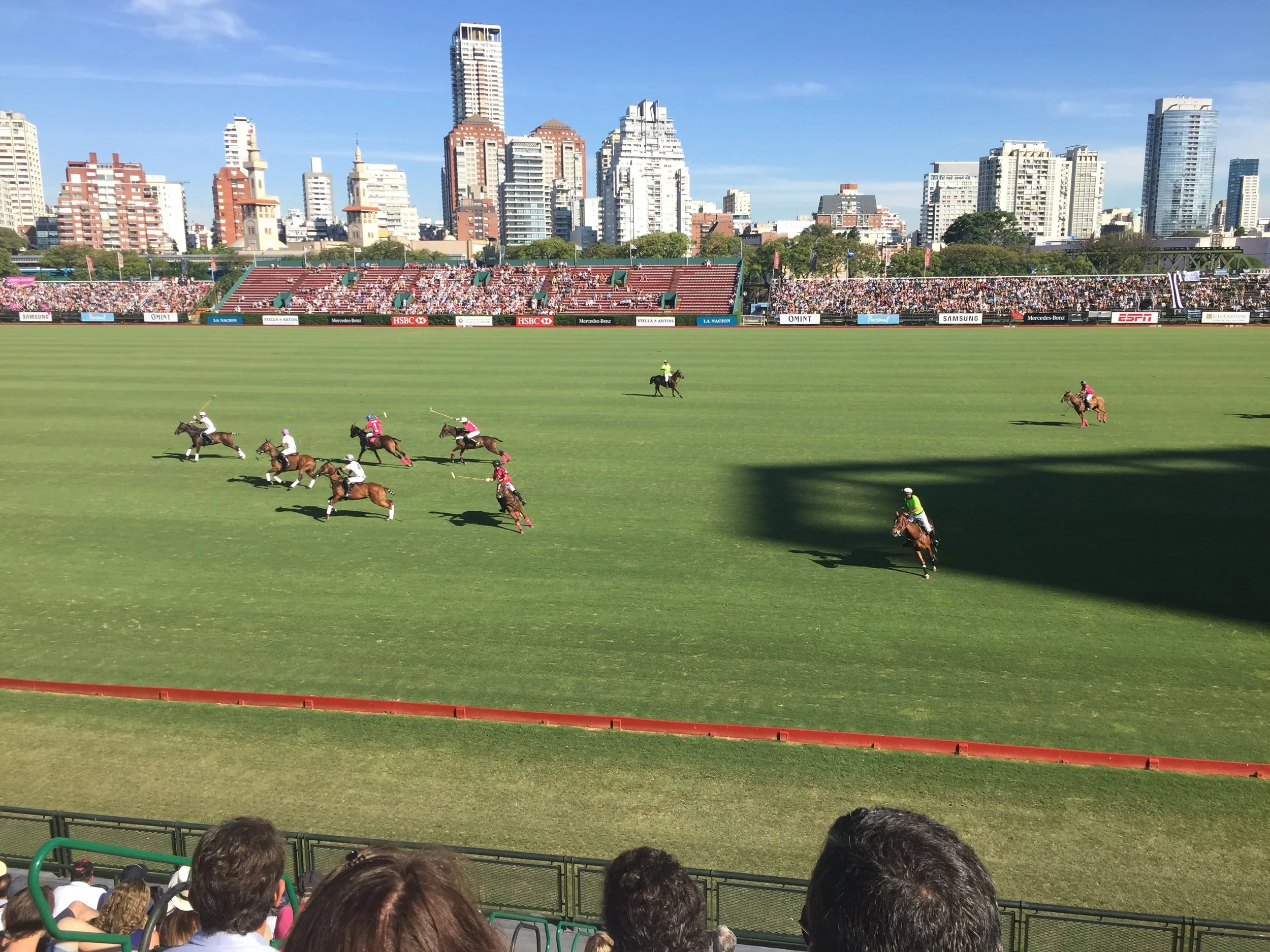
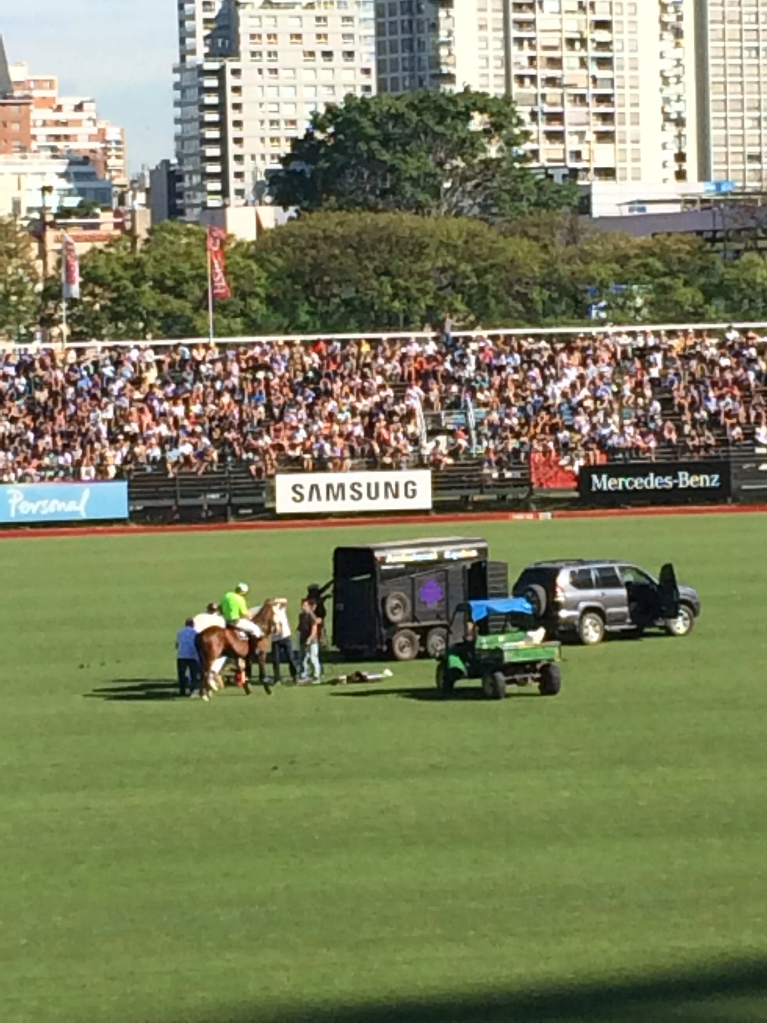
The Polo grounds were sparkling and reminded us of the set-up of ATP Professional Tennis matches. The pitch must be 2 football fields long and very wide with a short metal border, easily stepped over by the horses. The horses are the stars. As they rotate throughout the game the score board spits out their names. These are beautiful, lean and muscular horses. The rider’s names are listed on a fixed board. In our game, the riders and wore either bright pink or all white team uniforms and their horses matching leggings.

The skill and control exercised by the rider in controlling the horse and the horse responses are amazing. The players are going after a hard round ball swinging and hitting the ball with their lengthy mallet. The jockeying for position is not unlike what soccer players do to cut off their opponent and retreat in defense or attack in advantage. There are 8 periods. In our game the final score was 17 over 14. The white team, composed of all “Pierena” family members outlasted the mixed team which actually had one Canadian rider named Hendricks. We really enjoyed the outing. Our side of the stadium was more reserved but the opposite site was decked out in team coordinated colors and displayed signs and banners.

We walked home rather than take another UBER and noted the nearby Jardin Gardens. We thought we would return to them later and we did. Uber is new in BA and seems as efficient as in the USA. 

IMG_2826.JPG

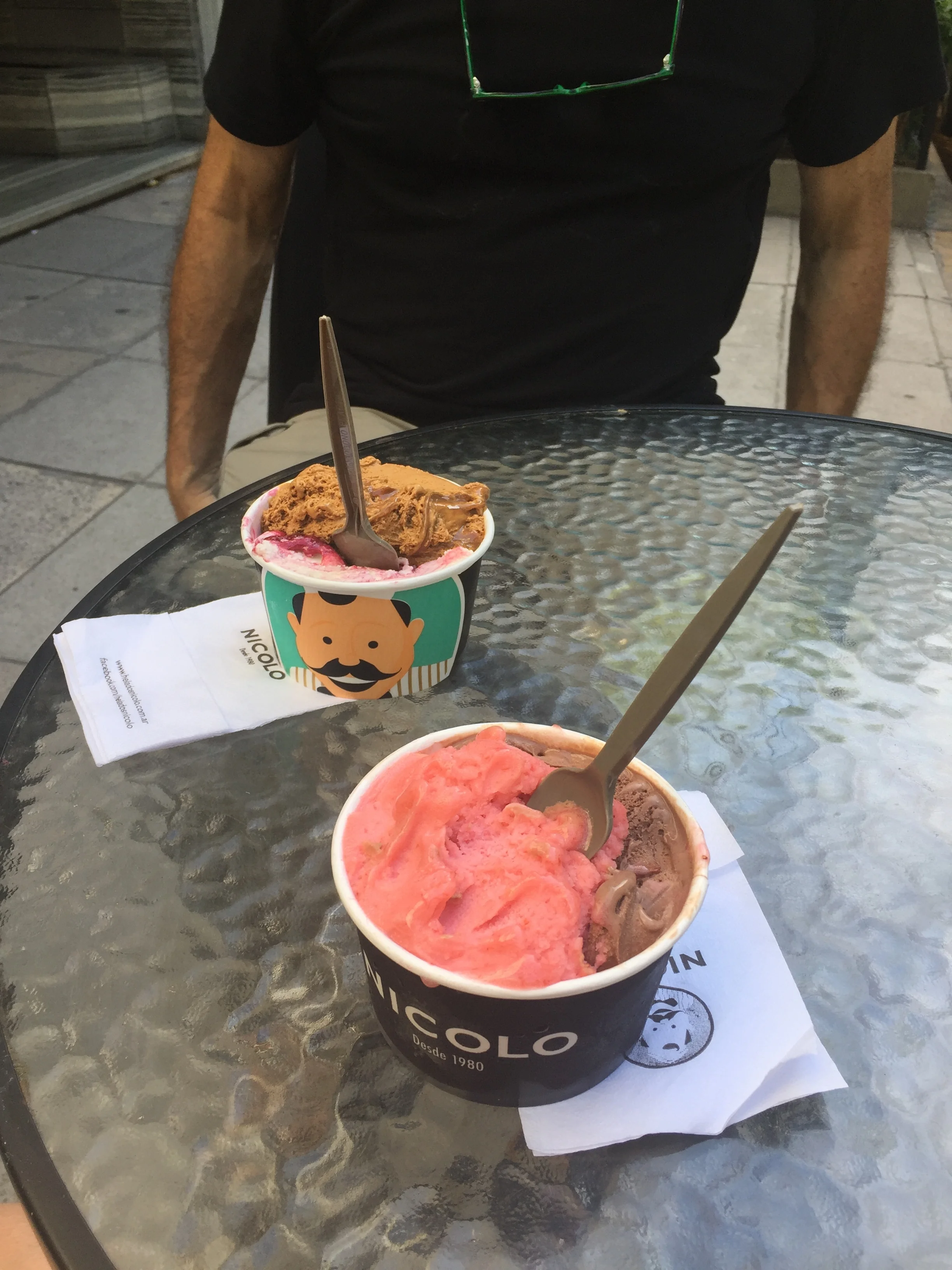
Great ice cream!!

FullSizeRender.jpg

The next day we returned to the Jardin Gardens with its beautiful sculpture and plantings. This time we started with the local bus near our apartment to get across town. We could use our SUBE card here as well. When we left the Gardens we stopped in the surrounding fashionable neighborhood for super good ice cream, hand packed and with multiple flavors. We continued to walk on the main streets which were loaded with people out on the weekend. Checked out some stores and then continued toward our apartment. We reached a close area called SoHo. This neighborhood was filled with shops, boutiques, restaurants, and decent street art. Graffiti can become tiresome and be a blight, but creative street art can enhance the character of the neighborhood and signal fun and activity. The art does needs to be organic and natural for the area. The street named Fitz Roy runs through SoHo all the way to our street. We are very relaxed with the walk, which we have now made several times. We feel safe.
The gardens

The next day we take Uber to the modern Jorge Freedman Airport and fly to the smallish airport of Punto Iguazu and taxi to our hostel in Centro Iguazu called 125 Hostel. Not a creative name, but really nice with a swimming pool and deck, nice rooms, starched sheets, and a first class restaurant, with rustic motif, that is highly rated in Lonely Planet. Our Host, who looked like Vin Diesel, had a never ending smile. We are in this city as our launching site to the world class Iguazu Waterfalls in the National Park.


Torres del Paine Chile

Puerto Natales Chile


The route to Torres del Paine was a 5 hours, including a border crossing and leavening  Argentina again and to go back to Chile and it's side of Patagonia. The countries fought a brief war to determine the boundary.   No problems on the Argentina side, but Chile had all passengers exit the bus and pull all the luggage to pass through metal detectors. We arrived late and stayed in a temporary hostel near the bus terminal, then moved to a different hostel near the waterfront, called Hostel Morocho. It was nice but also had a shared bath, a winding creaking stairs. . In these small towns the demands for rooms is very high, especially in launching cities. We discussed our Torres del Paine trip with the host, Alejandro, who told us our 2 day plan was not enough time. We needed another day at least. Thankfully, this hostel had good WiFi, with the pass word “Alejandro 1”, which our host sang to us as would Lady GaGa. Janet got on line to the National Park site, to see if there were openings at the park Refugio. We had purchased these very hard to get tickets before we left the USA. Miraculously, 2 spots had opened and we booked the extra day. In fact two young French girls were at the hostel waiting and hoping to get an opening. Understand that inside park accommodations are dormitories with gender grouped bathrooms. Our 2 spots meant 2 beds were available for an extra day--one more day at the park, one less day at the hostel. Importantly, the host waived his rental day lost since the cancellation policy was “Strict”.

Our Patagonia thanksgiving  

Our Patagonia thanksgiving  

it was also thanksgiving so with the arrangements made we hit the local supermarket and found roasted chicken and sides for our dinner and spend the rest of the day on the phone with friends and family with a little Lions football online.

We left the hostel at 7 am and walked to the bus station paced by a German Shepard all the way, along with some of his canine friends as we went to begin the next adventure.

National Park at Torres del Paine Chile

This national park is designated a UNESCO Biosphere site. The entire park is 181,000 hectares.

The big hit of the park are the 4 granite spires that soar almost vertically 2000 meters above the Patagonian Steppe. These are the Towers, that we do confess cause you pain when trekking the last 1 KM to the base, and most others agreed with us. This was the challenge we wanted. As well, the park displays azure lakes, emerald green forests and roaring rivers.  You can view soaring condors and feeding flamingos. You can also experience knock down wing gusts and sudden rain fall. We, Janet and I, both experienced all these things. 


For world class trekkers the park is also known for the “W”.  This describes the rough outline of the 4 legs of the trails that take you from the Towers to France’s Valley to Grey Glacier. This trek takes about 5 days one way, with 2 camping nights and 3 nights in a  refugio.  Some world class crazies actually complete the loop, called the “O” circuit which extends from Grey Glacier around the backside of the peaks which takes 7 to 9 days.


We did  a very modified “W” which we coined the 3 day  “highlight” tour, but it was hard. 

We arrive at the entrance of the National Park of Torres del Paine, which means Towers of Pain that I will explain later. We disembark from the bus and go through a four step process to enter the park, literally there are 4 numbered stations that we all must pass through, but there are really no written instructions--it's a game of follow the Q—fill out ID form, pay park fee, show receipt and get park ticket, and then step 4-- watch park safety video. When released you find another Q for a shuttle from the entrance to your lodging destination. They say “ take the red or white shuttle to Centro Refugio or Norte Refugio”.  No shuttle is there at the time and no place to buy tickets is designated. For us, finally the red shuttle arrives, the driver says $3,000 each, which we hand to him and he puts in his pocket. Don't care, we are on the bus, but it's weird. We drive for a distance further then I expected and arrive at the entrance building to the  Refugio, i.e. rustic shelter.  It entrance building is unusual, with earthy architecture and shape, made of grey wood beams that are curved  and sides composed of long widows to allow the view. It is modern, but fits into the environment. The lodge aka Refugio, checking-in is a little down the road in another nice modern building that fits well, not really that rustic. . This is Lodge Centro, which has reception, dinning hall, bar, and store. We are assigned to Lodge Norte, beds 53 and 54 in the room called Laguana Paine.

Our dorm room

Our dorm room

The room has a total of 3 bunks and 6 beds. It also has a modern but earthy style. We decide to take a warm up trek and leave before our bunk mates arrive. FYI, eventually, we meet 4 other women. Frank's the lone guy, who reads in the lounge until the gals are in bed, before he comes in. These gals are very nice. Surprisingly they are all english speakers, two from California, one from South Africa, and one from Vancouver, Canada, who happen to all have been assigned to the same planned tour together with guide.


Warm up trek


We arrived at camp and have only the afternoon to take a warm up trek. We decide to go out 3 hours and then return for a total 6 hour warm up trek. This trek is along the bottom of the “W” from Las Torres lodge toward Los Cuenos. The warm up is for the Torres del Paines trek the next day. At that time of day the paths are lonely, no fellow hikers,  and after climbing our first hills we locate a small lake which is surrounded by a marsh. This marsh is full of different birds that are squawking vigorously. We are at a natural rookery. As we walk closer, their agitation grows stronger. We enjoyed the scene but decide to alter course and divert up the hill. We keep trekking and reach a beautiful, extremely long lake that has the azure color we mentioned. It is Lake Nordernskjold and we stopped for snacks at the Mirador. That’s a tongue twister. Both shores of the lake are overlooked by dark stone plateaus which I thought created perfect natural fortresses. I envisioned indigenous peoples defending their camps along the waters edge From the high ground. We kept along the shore for about 3.5 hours and then turned back.

The beginning of the trail

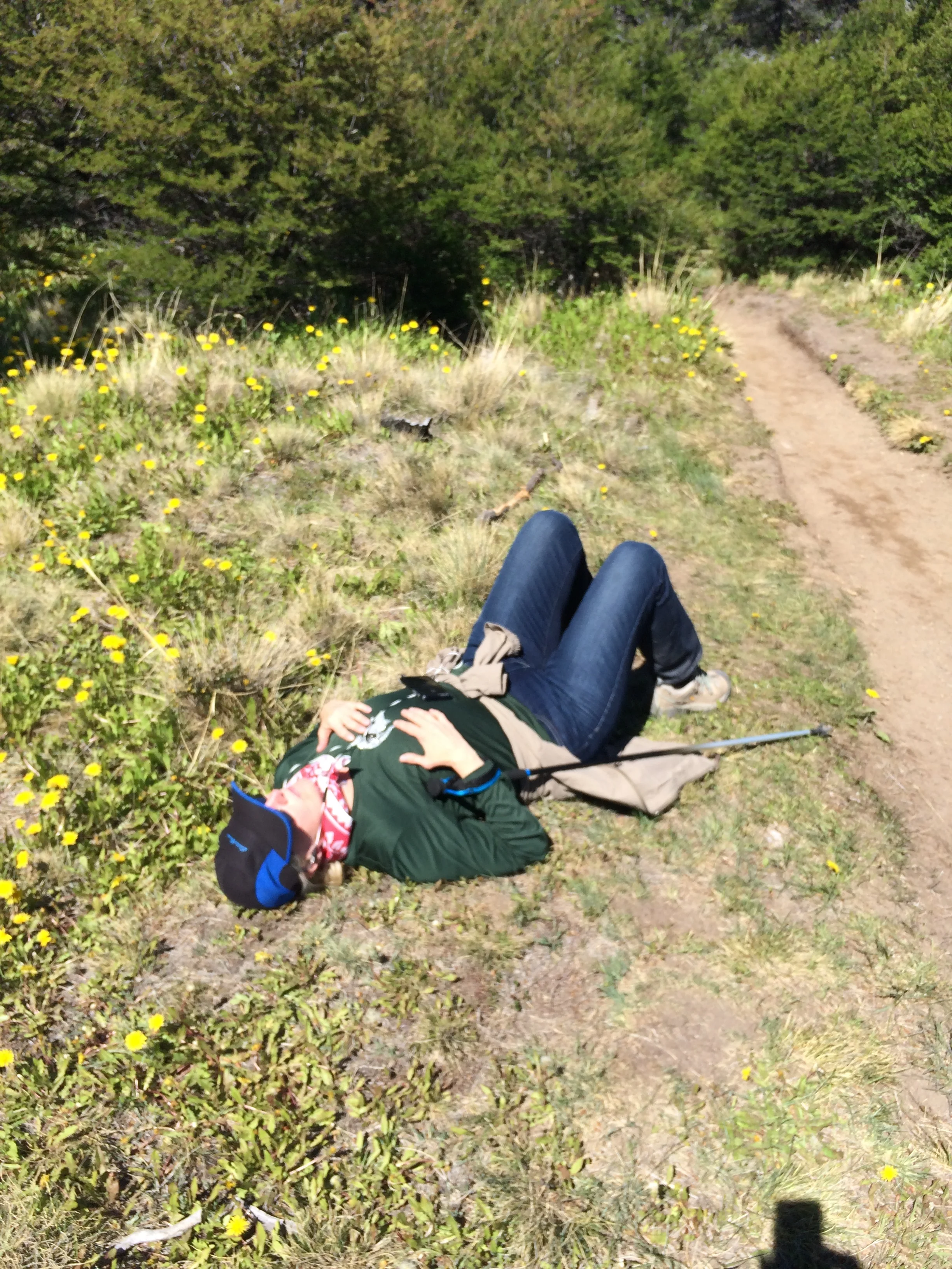
Frank taking a rest

The view of the lake along the trail  

The entire trail has this view  

Janet on trail

The Big Trek

To my chagrin, I developed a blister on my little toe which was caused by continual downhill pressure as we returned. My fault, I should rearranged my socks sooner and then tightened my boots. I have to fix that issue before the big trek.


That evening we ate dinner across from a very charming young Bostonian couple that are of, you guessed it—Irish descent. Well, all my college roommates were Irish, as are some of my best Livonia friends, so we had some good natured blarney vibes and did we have great fun joking around. The conversation was so easy. More importantly, they had just climbed the Towers and were more than willing to give us some great tips which we used. Climbing to the Towers was  the challenge that we sought, but I can tell you we were apprehensive and tried to plan carefully.  We were not fearful. With clothing layers laid out, we got up early and dressed, had morning coffee and breakfast snacks at the cabin, packed our trail snacks and lunch, and started out.

The beginning of the trek

We wanted to start early to avoid trail congestion and give ourselves plenty of time to get back and forth. It took about one half hour to reach the trailhead, crossing 2 bridges along the way. From here we divided the trek into 3 parts. The first part was on the up hill climb to gain elevation that was about 5 KM long. This is where we reach the Chileno camping zone which overlooks the Torres River. We had walked alongside the river and crossed over on rickety bridges limited to 2 persons at a time. Many trekkers spend the night in platform tents and start the towers trek from here. One unusual thing was the appearance of a helicopter hovering over the camp and hooking a large net of rubbish to take away. We trekked this part in 1.5 hours, right on the timetable.

The view on the first third of the trek

A wolf in the woods

Next, we trekked another 3 KM through the forest running beside the river, but turning inward into Ascencio Valley. Here, there was  another unusual appearance of a red fox that walked along the trail with us for a bit before prancing off into the brush. This part of the trek took us another 2 hours, a little slower we were. At this point,we reached the Torres camping zone. Before starting the final 1 KM upward, we sat for lunch and water, as our young friends had suggested. Rest a little, eat for energy, and digest, and take a deep breath.

Entering the forest trek

Frank at our lunch break before the final push

Here comes the pain. This last 1 KM is almost vertical. The is a rock trail. A granite rock trail where some rocks are just a little smaller than the surrounding rocks. The trail is marked by metal steel spikes twisting through the rocks every 20 to 30 feet with a little red paint on the cap. We really needed our hiking poles for balance as we moved one step at a time along a narrow path at a 45 to 60 degree vertical. You almost want to quit you get so tired and sore.


The vertical rock trail on the final 1km

You certainly need to rest, catch a breath and rest the legs. It hard to find a place to stand on this narrow path as others are going up or coming down. We made it up to the Base De Las Torres Lookout in 1.5 hours. That is 1.5 hours to go 1KM, when we had earlier gone 3KM in 2 hours. The course plays a trick on you, by prohibiting you to go over the top of the first ridge surrounding the lake. No, you must trek further around to the side to a another narrow path that allows access to the lake shore and the open view of the 4 spires of granite and the Glacier Torres. The view is  spectacular. The crater lake of azure color is surrounded by these granite rocks that run to the shore and upon which you must sit, and want to sit, as you take in the scene and ponder your success. Enjoy the photos. I hope some photos give an idea of the harshness of the last 1 KM.


The view from the top

The next harshness we faced was reversing course and getting down the rock trail. It was really tough. Janet slipped and fell  3 times. She  lost her hiking pole once and sports a really nasty bluish black bruise on her hip From that fall. She was hurting the rest of the trek back, but kept on fighting through. We had a lone trip back. Janet’s pedometer indicated we had trekked about 19 miles total that day.

The Final Trek

Cold and wind

For our final day we opted for an easier half day trek that started with a boat ride.  We had no tickets, just cash. We needed to catch  the red shuttle to the Park Entrance. Then we caught another bus to the Salto Grande boat launch. We purchased Catamaran tickets to motor boat across Pehoe Lake to the Paine Grande Ranger Station with 100 other backpackers. We went into the Grande Paine Lodge to get the lay of the land. We had to limit our climb to 3 hours out in order to make the it back for the boat return. We decided to travel the other side of the “W” up to the Grey Glacier Lookout. The trek starts by turning in front of the ranger station and into an ascending valley. It also turns us directly into a steady wind tunnel with gusts, we find out later, of about 40 MPH.

The wind

Every step is a struggle, the air is getting colder, and the sky darker. We keep pressing, remarking that we were lucky we are not doing Torres today, and also lamenting that some others we have met are facing that extra obstacle. We reach the first overlook plateau of Grey Lake. It is a bright clear blue, not a milky blue, and the surrounding mountains are dark rock. We decide to push on the the glacier lookout, knowing we cannot make the Grey Glacier base site near the camp ground. We are moving along the shoreline, but the trek is tougher then we thought it would be as the vertical through the forest is demanding. We watch our time. At 3.5 hours out we are still 0.5 to 1.0 hours from the Lookout. We are also tired from yesterday's challenge and the wind here. We agree to find our own plateau and sit for lunch. We find a great spot on the top of a gigantic reddish pink slab of rock forming a cliff at waters edge in a slight dip to shelter us from the wind. We can look back down the lake and see multiple Icebergs floating near the shores on both sides.

Our lunch spot


We must have picked the ideal spot because other Trekkers came off the pathway and sat up by us. The view, as usual, was very nice. We returned to the lodge experiencing some rain. The wind had died down so we had no tailwind, but luckily no wind pushed rain at our backs either. We got back in about 3 hours, had some hot coffee con Leche and a Snickers Bar. Did I ever tell you that Snickers are usually sold out as it is the backpack kid’s favorite snack. We also saw our French girls from the Pt. Natales Hostel. Good for them, they made it into the park. 

View from top of third trek


We stood in the pouring rain to get on the catamaran. Luckily we had rain gear. In fact, all are warm clothes and storm gear was purchased for the Patagonia area. We didn't need it much, but it's good to have when needed. Heck of a boat ride back. We got the right buses and we were back to our lodge for dinner at 8 PM. What a great 3 days. We will always love the challenge and our accomplishments at Torres Del Paine.


Time to say goodbye to Patigonia and on to Buenos Aires

The sunset from our room

Our dinner back in town after 2 days of trekking. What a treat  

El Chalten Argentina

Frank at the bus stop

Frank at the bus stop

The town

The town

To get to El Chalten we took a 3 hour bus trip slightly north of El Calafate.  This is a small town surrounded by shear cliff plateaus with some valley pass throughs formed by the river valley! Population 1200. We figured no credit cards so we hit the ATMs several extra times in El Calafate to get a lot of pesos before we left. This is a trekkers paradise, surrounded by a National Park. We were introduced to the city when our bus actually stopped at the National Park office where Rangers discussed the trails, camping, park rules, and the need to check in if you are going to do something crazy like climb Mt. Fitz Roy or Mt. Cerritos Torres. The ranger advised that the glacier water in the lakes and streams was potable. He said “ I drink this water every day and I’m still alive”. The town is rustic but with cute stores and restaurants inserted among corrals and new construction projects. The favorite stop for the masses this weeks seems to be Beers and Burgers. Ourselves, we have been cooking at our 2 story cabana called Austral Cabana, with full kitchen and the bedroom up top.

Gelato shop

Gelato shop

Our favorite stop is Blanco Bruno Gelato shop. The coffee is strong, which means great , we get multiple flavored ice creams, and most importantly working internet. This is a nightly ritual. We miss you guys and the working internet allows us to keep in touch. Our hostess is very helpful with trekking tips and we have undertaken 4 treks. The first was an easy total 3 mile walk to a waterfall, the second was a rigorous forth and back 19 miles, the third was a one way 12 miles and the final trek was thought to have been more of a relaxation exercise at 3 miles to a mountain lake with another glacier, but actually was very elevated in the short distance.

Town Square

Town Square

The first trek was an easy 7 miles round trip to a nice waterfall with a running creek. Janet had a pedometer to track our distances. Here we could see first hand the clarity and supposed purity of the running water. It was nice to walk a little to warm up the legs for tomorrow. We had a kitchen, so we went to the Supermacado to buy ingredients. Janet prepared veggie pasta, another wonderful dinner on the road. We then organized our day pack for the next days trek.

Warm up waterfall trek

Warm up waterfall trek

Cooking at our cabana 

Cooking at our cabana 


This was the journey to Cerro Torre, 3100 meters high, the second tallest mountain in the area. We started the trek by walking from the Cabana directly to the trailhead. The elevation raised up then flattened and turned and rose again until we crested the hills and came in view of the River Fitz Roy and the river valley. We trekked the crest of the hills that followed the lake bed, at times we were walking on rocks that had been deposited on shore.

The hike up

The hike up

There was all different terrine  and views as we worked our way toward the target which was Laguna Torre. The final leg took us past a dead forest of white trucked trees. This was almost 12 KM or 8 miles and we had to go back. The total trek was actually 16.5 miles total per the pedometer.

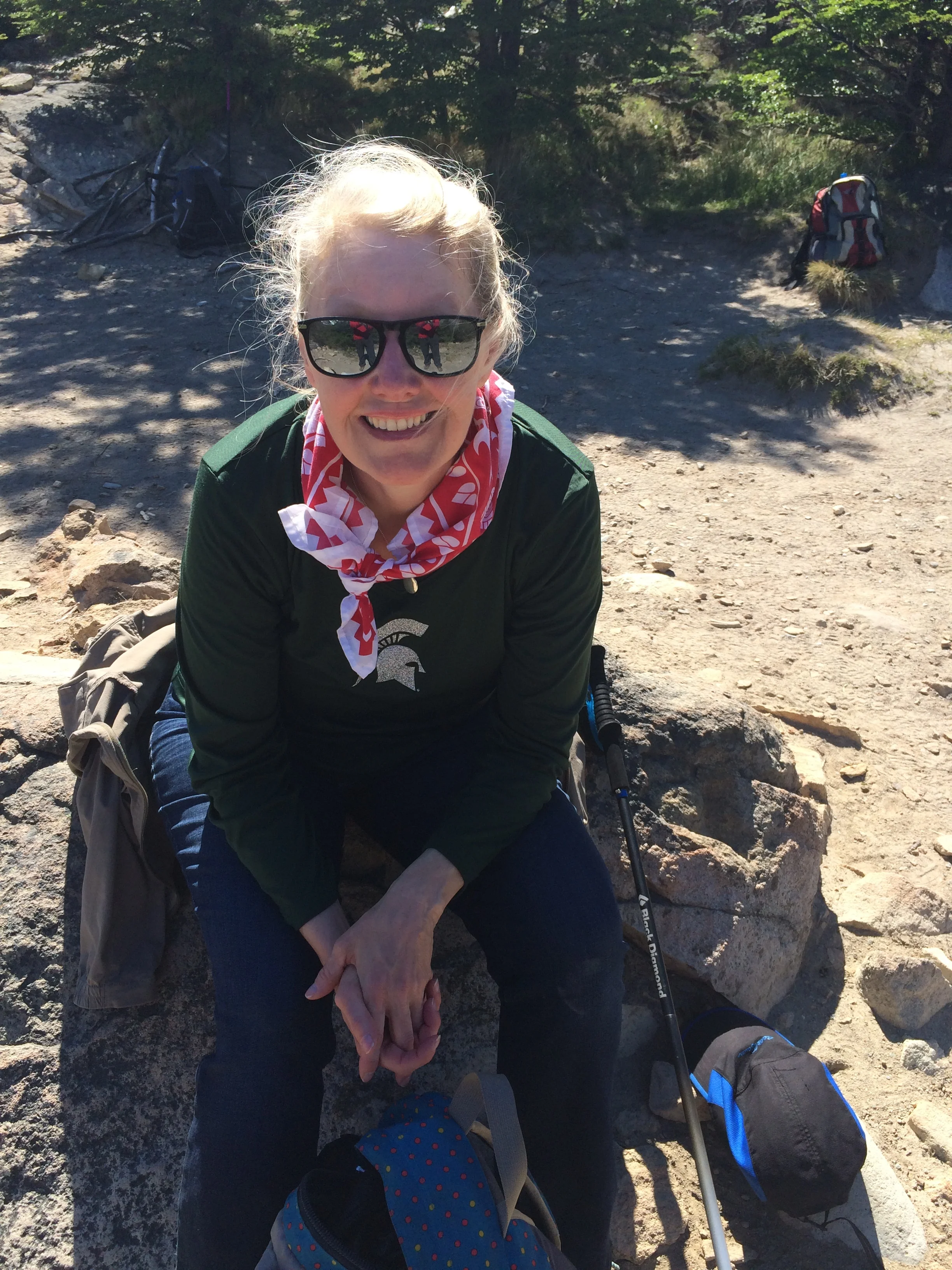
A much needed rest

A much needed rest

Here is were Janet's injured ankle started to really bother her. We stopped for a rest and thought about turning back, but we decided to continue. 

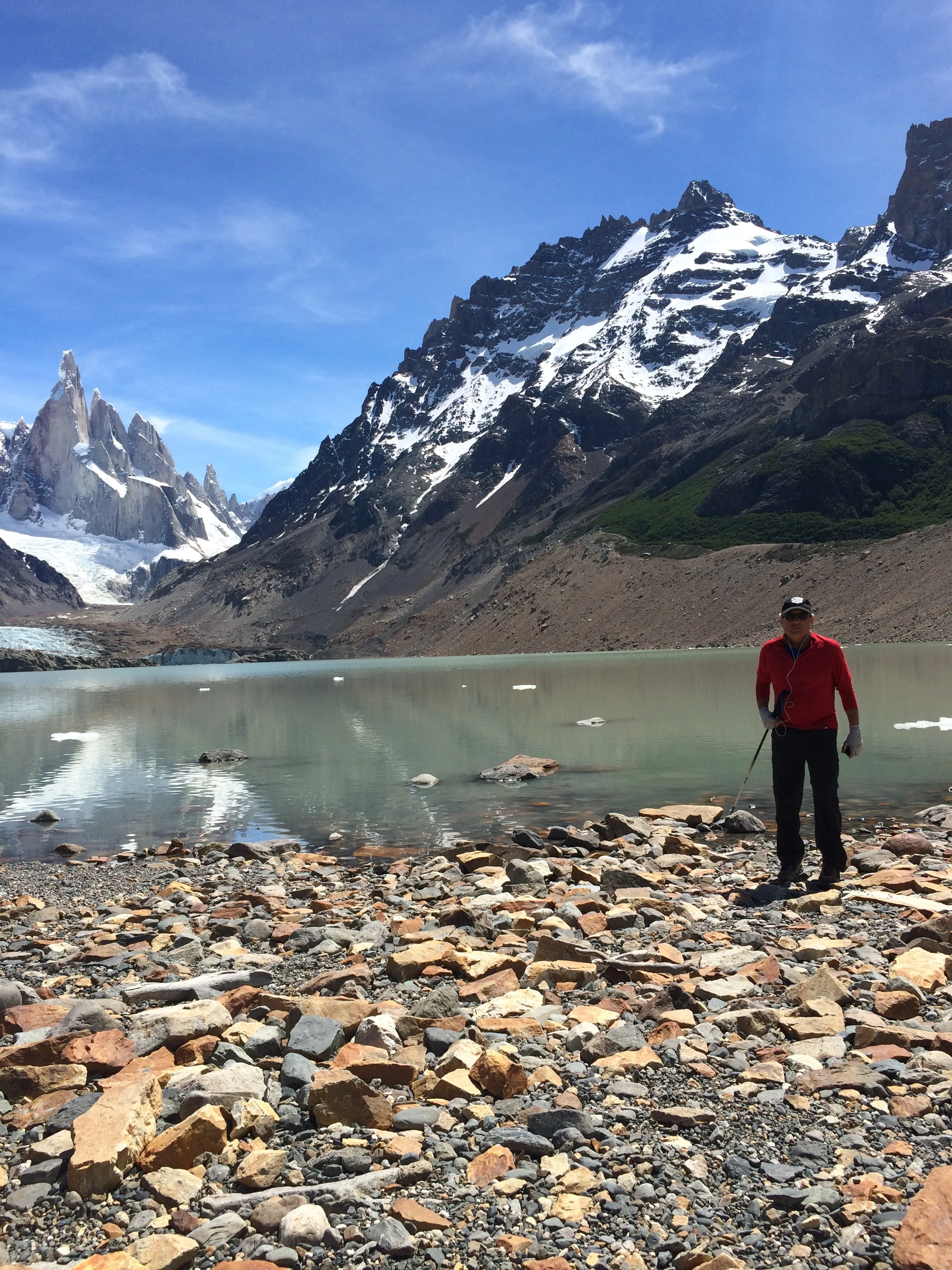
It turned out we had one more hill to climb which was the crest of the crater that surrounded the lake. Our first view was a blazing milky blue lake that included floating blocks of ice. We sat, with others, in the hot sun and had the lunch we carried. We were very thirsty and made the decision to fill up our canteen with lake water. It was very cold and refreshing, and I will admit it has a slight gesture of sediment or the milk of the ice.

The view at the top

The view at the top

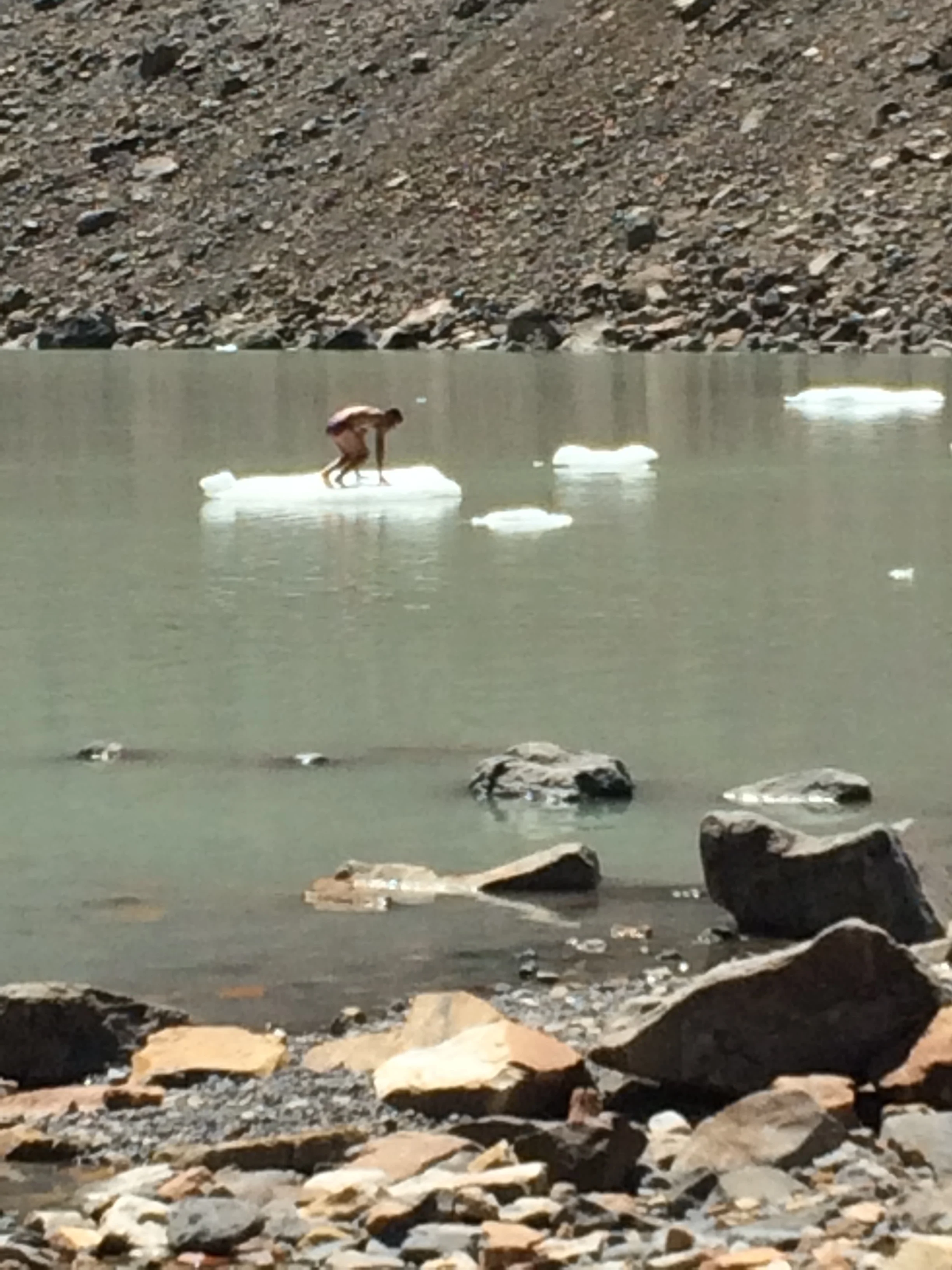
An iceberg raft

An iceberg raft

Luckily, we filled our canteen before a fun loving guy striped to his undies and jumped into this freezing cold lake. He swam to the small berg and pulled himself up top. The small crowd around started clapping and hooting, and some, I think, wishing they had done it first. He was lifting his feet sporadically due to the cold. The scene reminded me of an old Boy Scout rhythm “ ooh, ah, my feet hurt, ooh ah” . And you know, my feet kind of did hurt after walking 8 miles  to get there. Enjoy some pictures of the trek, which shows Mt. Cerro  Torres and Mt. Fitz Roy, the latter named after Capt. Fitz Roy who travelled with Charles Darwin to explore Patagonia.  When we retrace our route we did again go to the rivers edge and refill both canteens, man was it cold and good when we needed it. Finally, we arrived back in El Chalten, a total excursion of 19 miles. We were lucky enough to pass a small trailer stand before entering the town that sold us ice cold Spite pop, it never tasted better as we were again parched. I guess Janet had been dreaming of orange pop for awhile but it was not available.

For a couple of non-hikers we did we feel great at our accomplishment, sore and tired too, but really satisfied. We finished the night by getting some ice gelato at a favorite cafe and using their internet service. 

End of the trails and happy  

End of the trails and happy  

Frank at the base of the trail  

Frank at the base of the trail  

The next day we trekked to the base of Mt. Fritz Roy, 3400 meters high, the king of the area. Rather than the normal route, our hostess suggested another route that we might enjoy, still 26 KM, but more downhill and one way. The plan was to motor 15 KM up the road and start at that trailhead. Our legs were a bit sore, but as we worked and warmed up we were ok. We trekked in woods by the River Blanco for 5 KM and connected to the main trail to Fitz Roy.

The trail to Fitz Roy

The trail to Fitz Roy

This was another 6 KM to our goal of reaching Camp Poincenot near Fitz Roy. It was not sunny, but overcast, so the heat of the trek was less. We again saw some wonderful sights and combinations of mountain, river, forest and plains that created panoramic vistas.

The back view of Fitz Roy and the Glacier  

The back view of Fitz Roy and the Glacier  

The trek down

The trek down

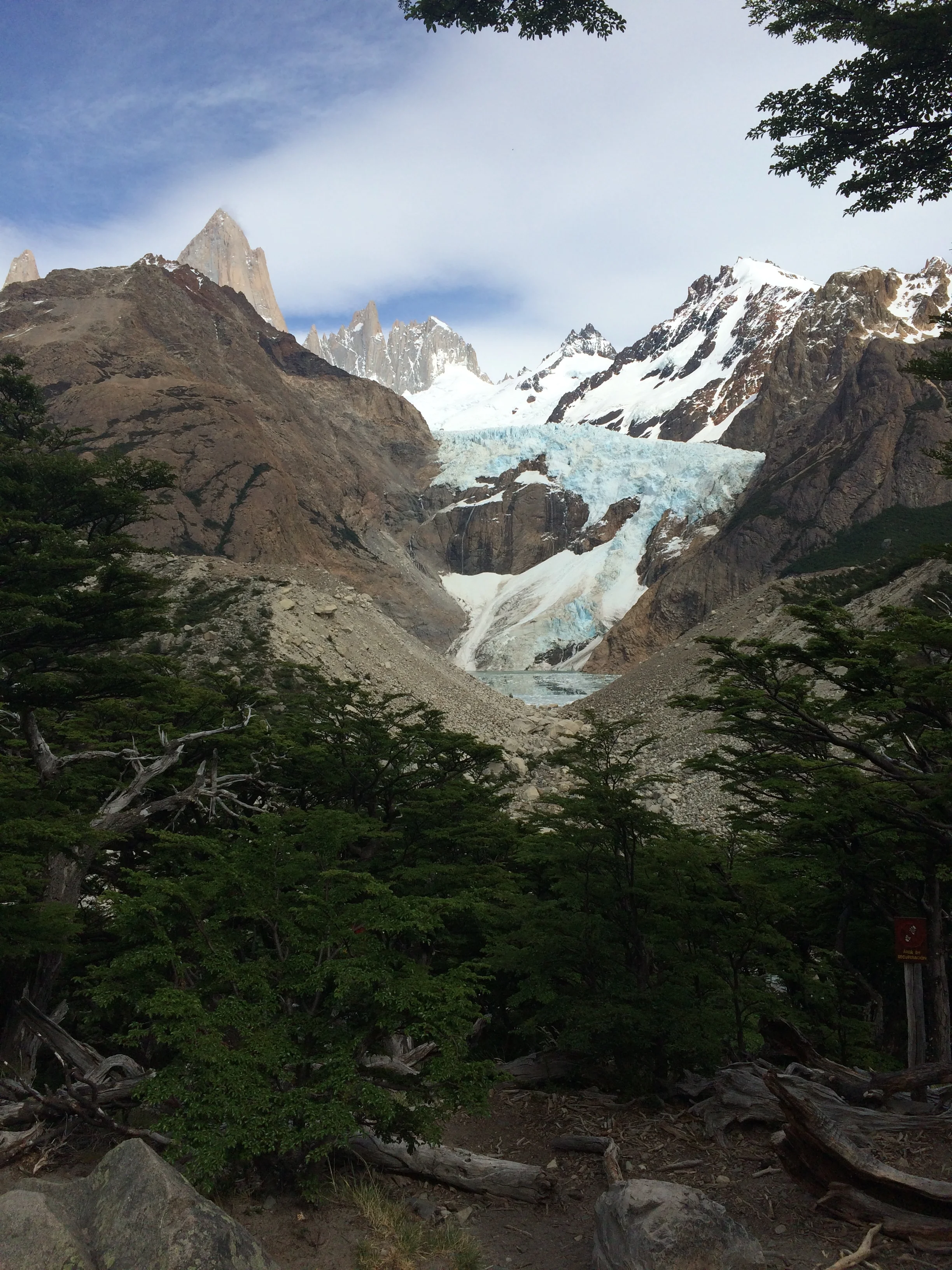
The striking size, shape, and color of Fitz Roy was the constant that could be seen from almost all positions. On this trek we also crossed the smaller Glacier Piedras Blancas. We turned for home base passing Lake Capri and Camp Capri as we hiked in really weird flat lands to finally make it back to the city.  This was a trek of 13 miles per the pedometer. At the end we were dog tired and thirsty but boy was it worth it!

Frank and Fitz Roy

Frank and Fitz Roy

Fitz Roy  

Fitz Roy  

We realized that we where pushing the limit of enjoyable trekking, so we decided to make our fourth trek a little more restrictive for one half day. We again motored 37 KM to the base of Lake Desierto. This was private land and we paid a fee to enter their land and climb to the top of their little mountain to see another glacier, Glaciar Huemul, and also Mt. Fitz Roy from a different view point. This was a shorter trek, but we had time limits so we really huffed and puffed to get to the top. At the top Janet thought it was one of the most beautiful scenes she had ever seen, Fitz Roy to the left, Huemul Glacier in bluish tint to the right, raging river in deep blue at the bottom of this scene, and the sunny bright sky overhead.

The view from the top

The view from the top

A challenging way up and down  

A challenging way up and down  

It was great and I could appreciate her thoughts, as this commingled scene reminded me of “Delphi” in Greece, where the holy mystical Oracles resided, and I'm not sure which was most beautiful. Enjoy the photos.

We returned to town, again going over the most bumpy gravel road. We packed with the plan to be at the bus station by 7 am for our trip southward to Puerto Natales, the launching point to the most southern destination of our trip—National Park of Torres del Paine.

FullSizeRender.jpg
IMG_4406.JPG
FullSizeRender.jpg

El Calafate Argentina

El Calafate Argentina

Moreno glacier  

Moreno glacier  

Our hostel

Our hostel

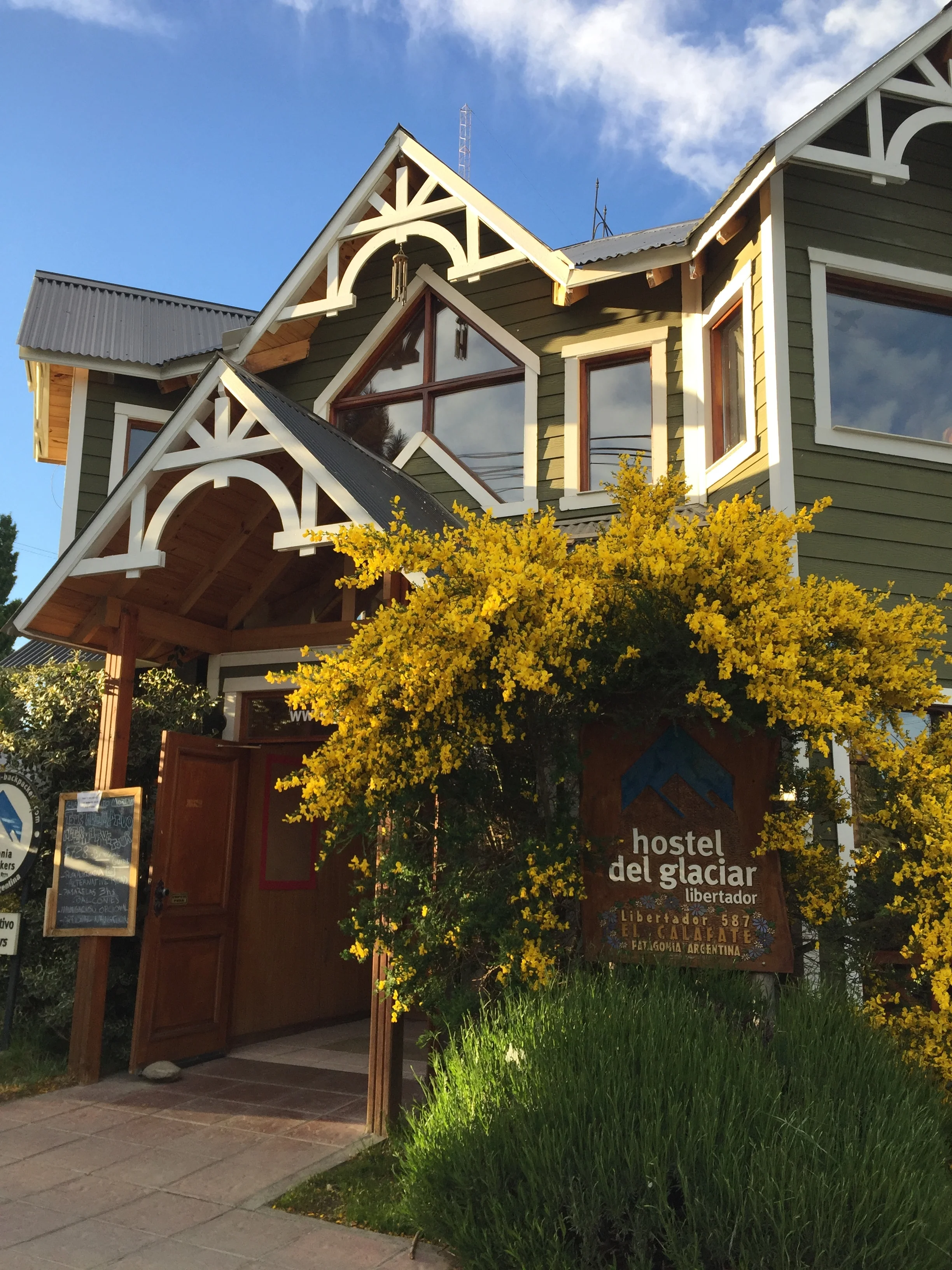
Time to move to the colder south toward the Straits of Magellan. Next stop is El Calafate, named for some ugly bush that survives the harsh climate . We forego the 30 hour bus trip and for a measly extra $100 we take a 2 hour flight, land, pick up a cheap collective with 8 others, and arrive at our Del Glacier Libertador Hotel. Very nice, with heated floors and separate bath and shower.  We get breakfast and also have kitchen privileges. What is really great is that we book our tours through the hotel. We also try to book bus trips, but that requires a walk to the local bus station and a 2 hour wait to order up. Our plans are somewhat complex as we had 3 separate bus legs to get to other cities and sites we want. The clerk is really pretty efficient in telling us off the top of his head what buses and time, and routes are available. It is just the computer entries and ticket printing where the system slows down. Then, of course, he says this is the cash price, no credit card. So the cash we had painstakingly acquired with numerous visit to ATMs was cut into substantially. In these far out sites where cash is king we are always worried that the ATMs are dry, but really, the bus station rejects credit too. 

The Estancia out building

The Estancia out building

The Estancia  

The Estancia  

We get picked up at 8 am for a trip to the Glacier Perito Moreno. Our trip starts by traveling the back roads to see the countryside up close and several “Estancia”, at least the entrances as these great estates are up to 100,000 square Hectares, that is 368 sq. Miles. They have cattle and sheep, and horses. We stopped at an outbuilding that had been turned into café museum, with interesting displays of the predators in the area. Janet tried to play a bar game, swing the ring. The view was of a rugged landscape. This area is where the Goucho culture was active. We think of these latin cowboys as glamorous, but according to our guide they were often underpaid and when they rose up in protest the government stepped in to protect the land owners, blood shed did ensue. 


Frank's reaction to calving  

Frank's reaction to calving  

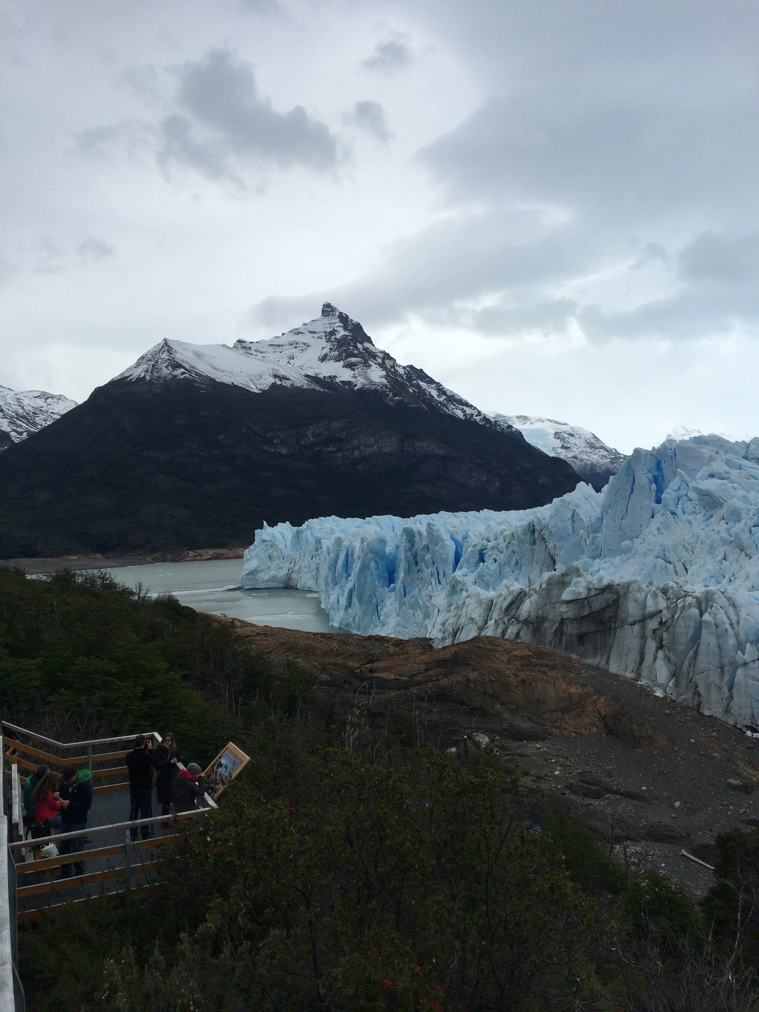
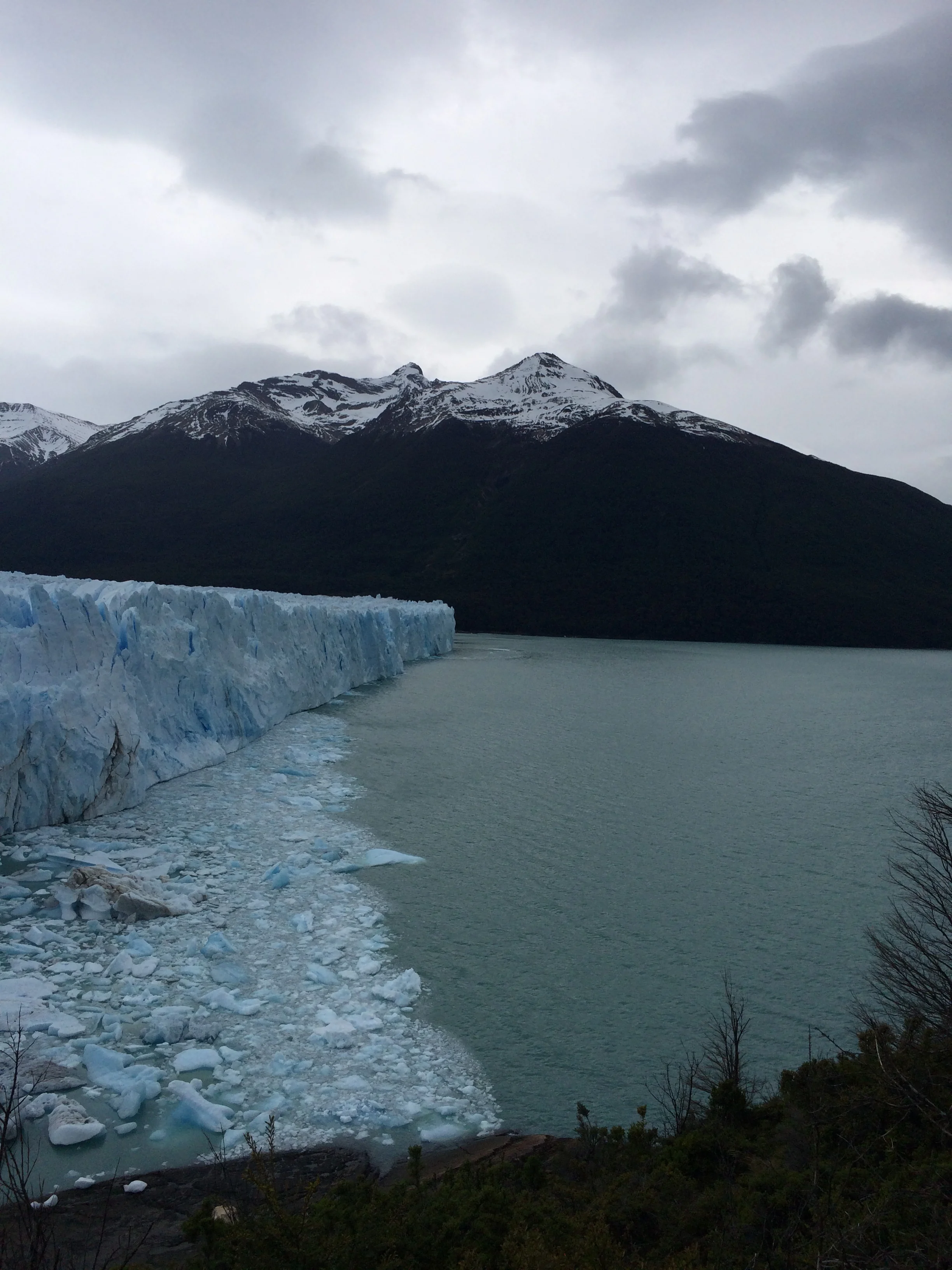
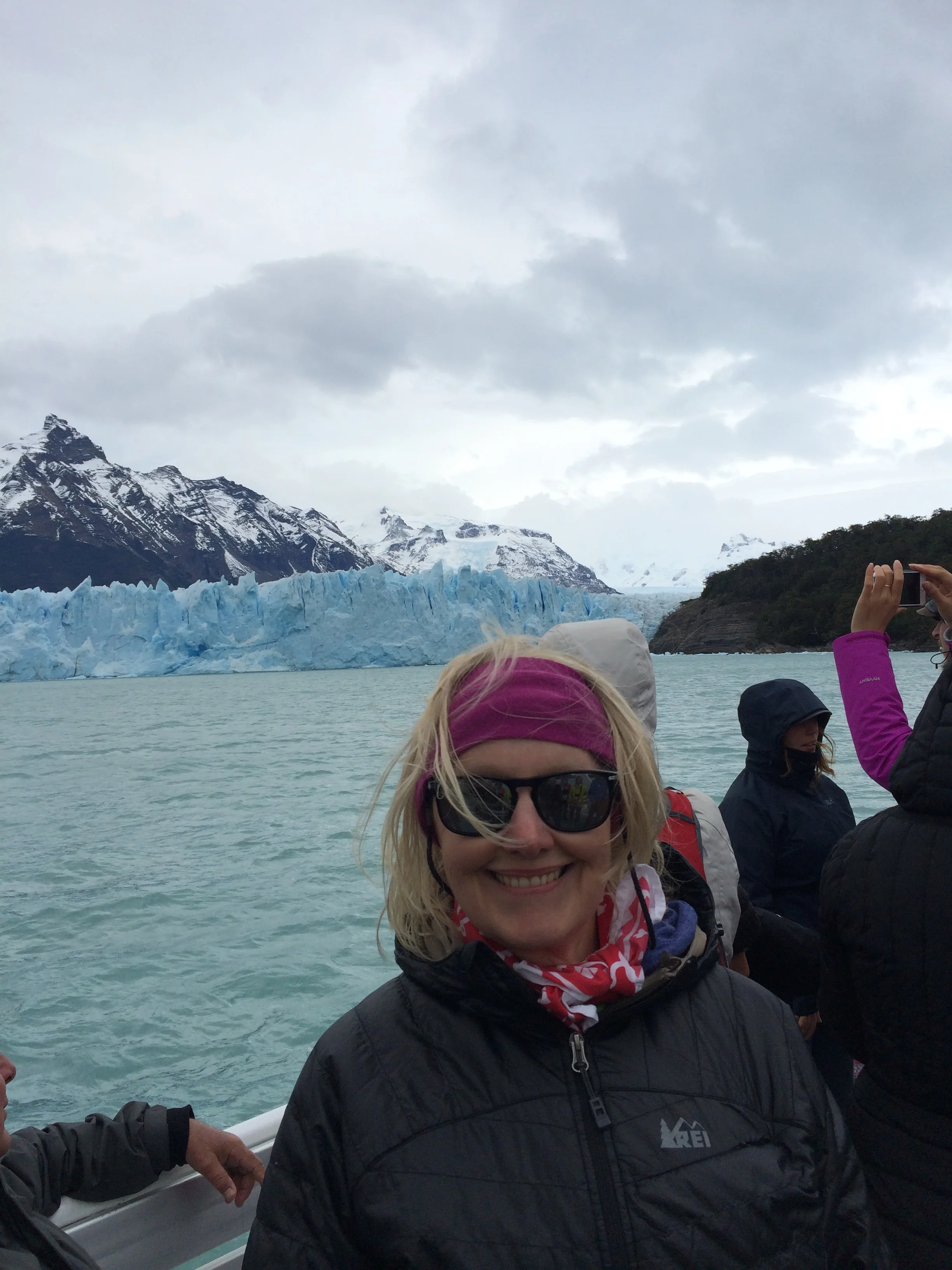
We arrive at Glacier Perito Moreno, which is in the Parque Nacional Los Glaciares. This is a spectacular natural phenominum.  We can't believe we are here. The glacier is the third largest in the Southern Pantagonia ice field. The total southern ice field area is about 750 km2, or 290 sq. miles, and blocks the Brazo Rico Sur channel and the Brazo Upsala Norte channel of Lake Argentina. In my layman terms, the ice does not freeze on top of the water. Rather, the snow that continuously falls on the frigid surrounding mountains does not melt but compresses due to extreme weight and over centuries pushed down the mountain side into the water as a solid wall taking gravel, rocks,and soil with it.  Here, the glacier is about 40 to 50 meters above the water line and 70 meters below the water. This glacier does not recede and in fact has been growing outward. The glacier face is 5 km long.  We decide to take a boat onto the river and cruise close in on the glacier face. It is a massive wall with spires at the top in some areas, like Superman’s Fortress of Solitude, or John Snow’s Wall. It has a blue hue or shadow. The water is milky blue which our guide says is due to the sediment ground up and pushed by the ice, like swirling salt in water. As we all watch in silence, you can hear the sound of shotguns in the distance. The ice is moving and cracking. We where lucky, as right near us a wall of ice broke off and slide into the water. The cracking, shotgun sound came a moment later. This piece of ice is the size of a ranch house. A fellow viewer commented that was worth the cost of the boat. I responded “How many people in the world have just seen what we have.”     


At the site hanging around watching the blueish colored Glacier and waiting for the next great “calving” or watching the condors float above is really breathtaking. We then hiked the walkway on the peninsula across from the glacier face and around its side. Stopping for lunch we were again treated to another calving and our little group cried out in glee. Once the ice break submerges we noticed that a circular pattern of ice bergs flowed to the top. That could be expected, but what was surprising was that the circular pattern did not grow outward, but on this day stayed in place. We walked to the side of the Glacier, where snow touched rock. As we walked we could hear more shotgun crackles, but calving was not visible, as it may have been on the other waterside. We heard at least 8 shotgun crackles. Lucky Janet saw a 3rd calving while I was photographing in a different direction. Some authors have called this process an existential experience. We must agree. Check out the photos..  

IMG_4114.JPG
A quick shot of ice breaking (calving) 

A quick shot of ice breaking (calving) 


Tomorrow we are leaving for another boat trip to see more Glaciers.

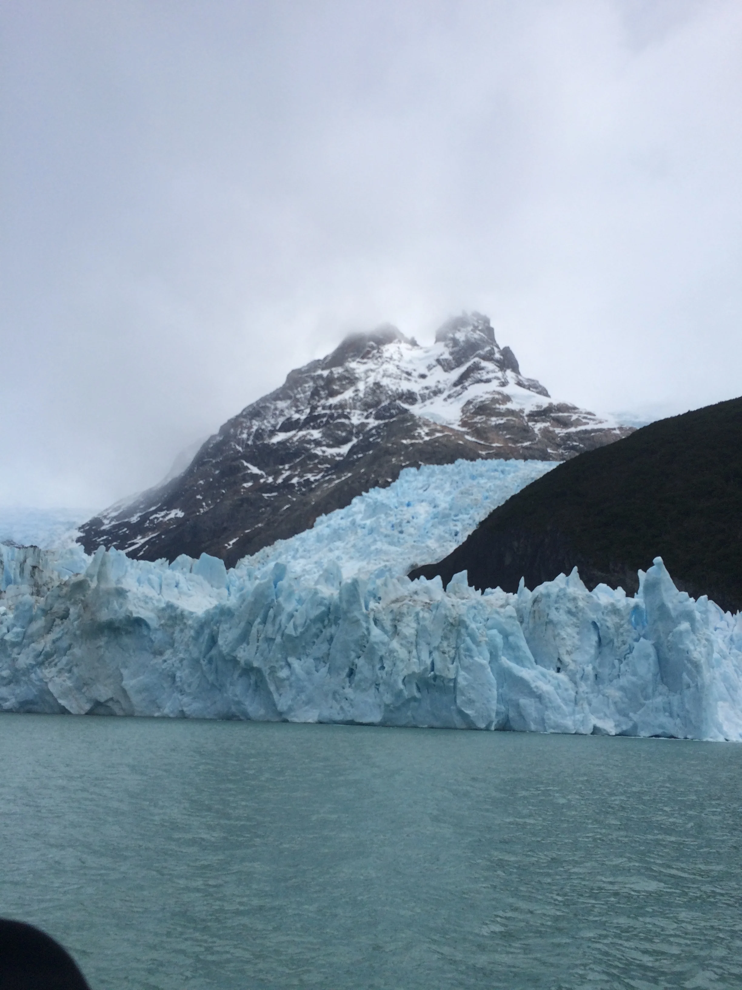
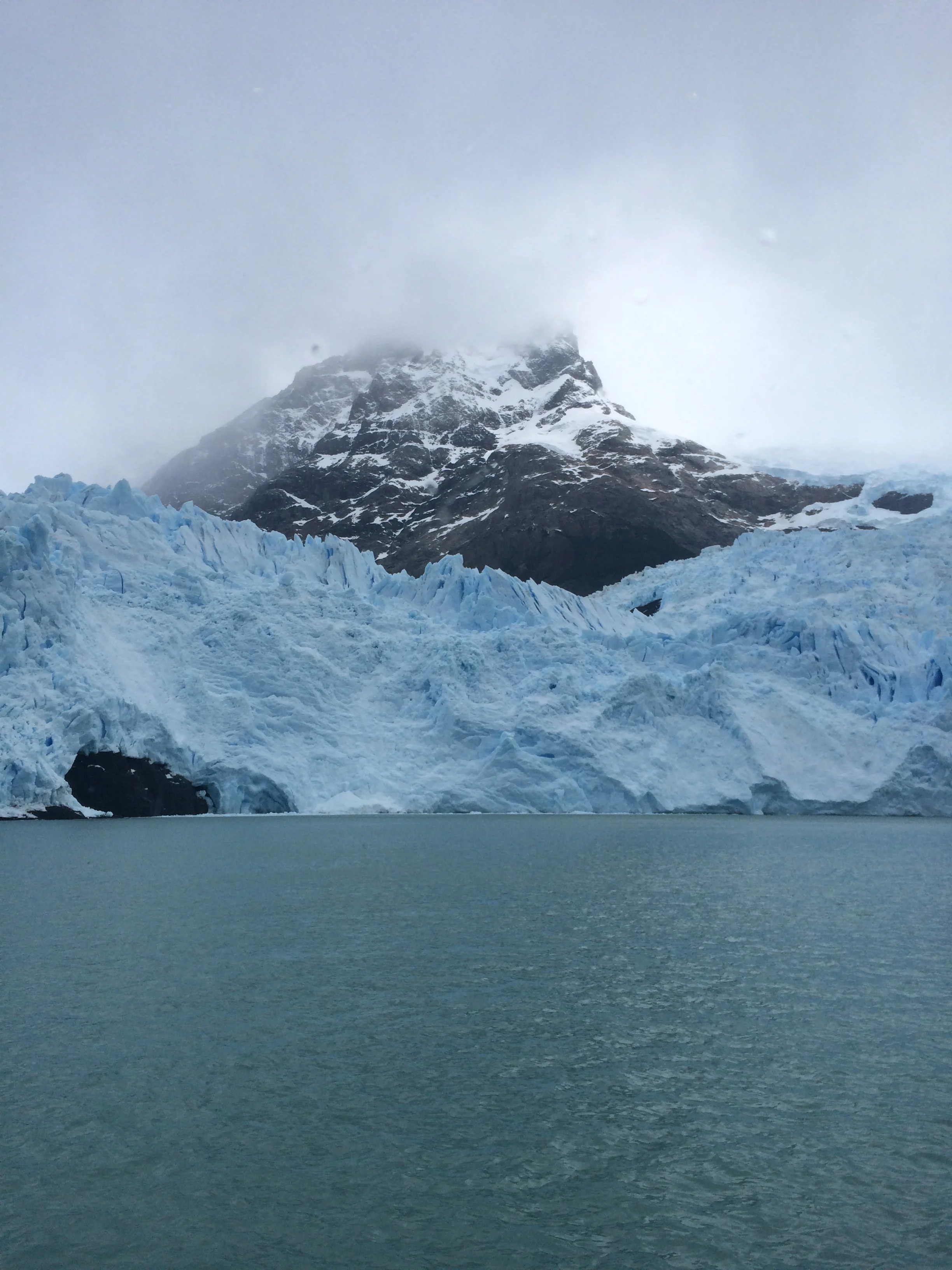
This trip is further away and takes us on the north side of Lake Argentina into the Brazo Upsala and                                                                                                                                                                                                                                                                                                                                                                                                                                                                                                                                                                                                                                            Brazo Norte waterway. Yesterday we were at the Brazo Rico Sur and walking on the Magallanes Peninsula which is closer to El Calafate. This excursion is different as we are placed on a double deck catamaran with twin 1400 horsepower engines that accommodates 100s of people for a total 6 hour trip. As we leave the port we are again moving in the milky blue green water. The ship is moving fast in open water until we approach the Diablo del Inferno passage between two small peninsulas. Here is where we see our first icebergs. These have broken off from the glaciers and seem to be stationary. At one point we approach a giant Iceberg the size of two 4 bedroom colonial homes in Livonia, MI. It has carved shapes. This iceberg is light whitish blue that clearly contrasts with the milky water it sits in.  We are close. As we know, most of its body is underwater but the guides say it can flip over with out warning. We continue in the straights and come upon our first glacier, where the snow has formed an upside down “V” moving around a stand of rock. On one side the glacier has formed a waterfront wall, on the other side the snow is flatter and smoothly rolls into the water. Not as impressive as Moreno, but very wide.

FullSizeRender.jpg

The next glacier we see is contained in the V of two mountains. It is interesting because the glacier has receded and the ground is black, no vegetation has returned, while close by the land is green.We saw another smaller glacier with the telltale black ground from receding.

The next glacier is the tallest glacier in Argentina at approximately 100 meters above the waterline. The lake is very deep here so this glacier does not touch bottom though it's underwater operation is still enormous. This Glacier has the spires just like Moreno. We were lucky enough to see one calving action, but the piece was not as large as yesterday's version.

Another glacier was very different in that it was high in the mountain creating its eventual pathway to the waters edge. When we finished it took a good 1 and ½ hours to get back to port. It was another stellar excursion. Again enjoy the photos.

The largest iceberg  

The largest iceberg  

IMG_4101.JPG
IMG_4214.JPG
IMG_4090.JPG
IMG_4245.JPG

Bariloche Argentina

 Bariloche Argentina

Patagonia is the mystical natural southern region of Argentina and Chile. There are windy, barren expanses and the spectacular Andes mountains, and much more we hope to find. Patagonia is thought to be named after the native Tehuelche’s moccasins, which make their feet appear huge. In Spanish “pata” means foot. Check out the documentary entitled “180 Degrees South”, either on Netflix or You Tube to see why we are excited.

We are up early being of course excited to go. Our first destination is Bariloche, Argentina. It is raining. We decide to put on full rain gear to walk to the bus station in Puerto Varas. We get on the bus but are unable to sight see as the windows are fogged and covered with raindrops. What we do see as we travel west to east toward Argentina are smaller mountain ranges of greenery that reminds us of Ecuador. Finally, we reach the Chilean border exit crossing which was a piece of cake this time, showed our passports and turned over our PDI form of entry and back on the bus. We reached the Argentinian entry border crossing and it took longer. We where the second bus and had to wait for its clearance. We all exited and presented our Passports. No problem. But then the authorities do a random search of luggage under the bus. Guess who gets selected. No not Frank, but Janet this time. Her luggage went through the X-ray and then it was searched as well.  Janet stood by with a grimace, but passed, and then repacked. The bus drivers tried to close the luggage compartment twice before Janet was done, but “Steady Eddy” stopped that nonsense.  Off we went, a bus with very happy campers.

Ps. Yeah, Frank got searched too, as he almost always is. While watching Janet’s luggage, a little too closely, an officer came up to Frank and asked if his luggage was in line to be scanned, or so Frank thought, actually the officer  directed him to put the backpack he was wearing into the scanner. But HA, they did not hand search it like Janet’s stuff.  

At the top

At the top

We arrived into Argentina without any AR Pesos. Luckily, kind of, the station has money changers, who trade Chilean pesos for AR pesos. The exchange rate plus was crazy high, but I guess they have to make a profit too. FYI, $1.00 US exchanges for $15.25 ARS, compared to Chile where $1.00 US exchanges for $666.18 Chile Pesos, compared to Peru which is $1.00 US for $3.40 Sols. Finally, note that Ecuador once used Sucre exchanged as $1.00 US for $25,339.20 Sucre. That is why Ecuador now uses US dollar bills. We got our money, we got our bus card and traveled the several blocks to the new hostel, aka Home Hostel. It is very large and we have a nice room with bath, only shared with one other room, the occupants of which we have not seen but only heard. We stayed in and used the kitchen to cook dinner.

Frank in the town square

Frank in the town square

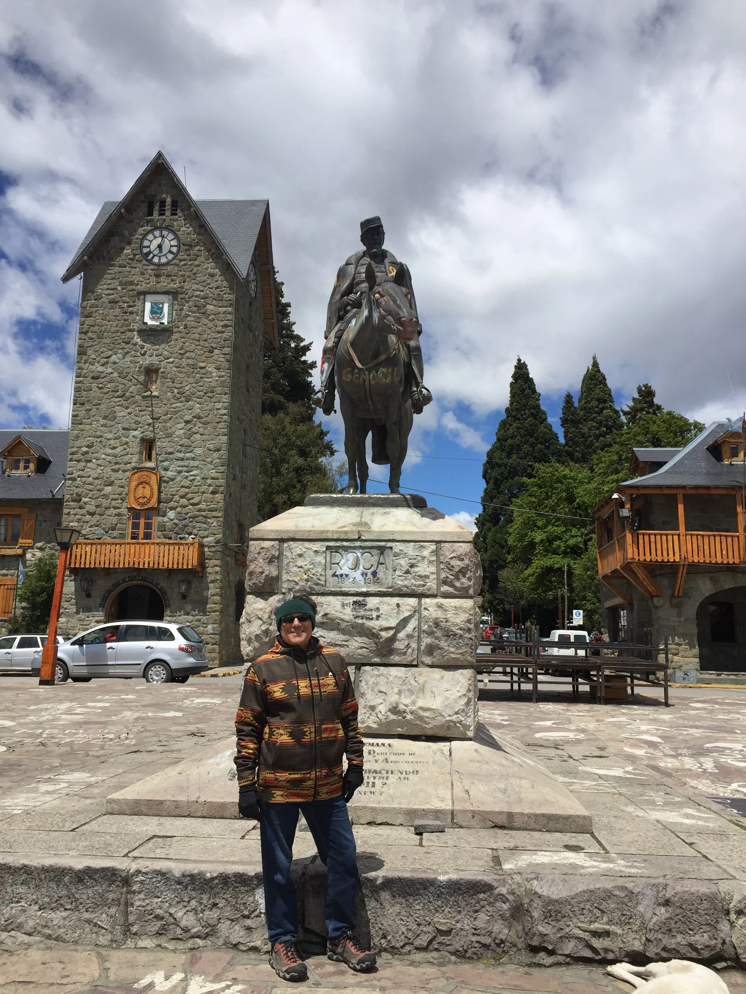
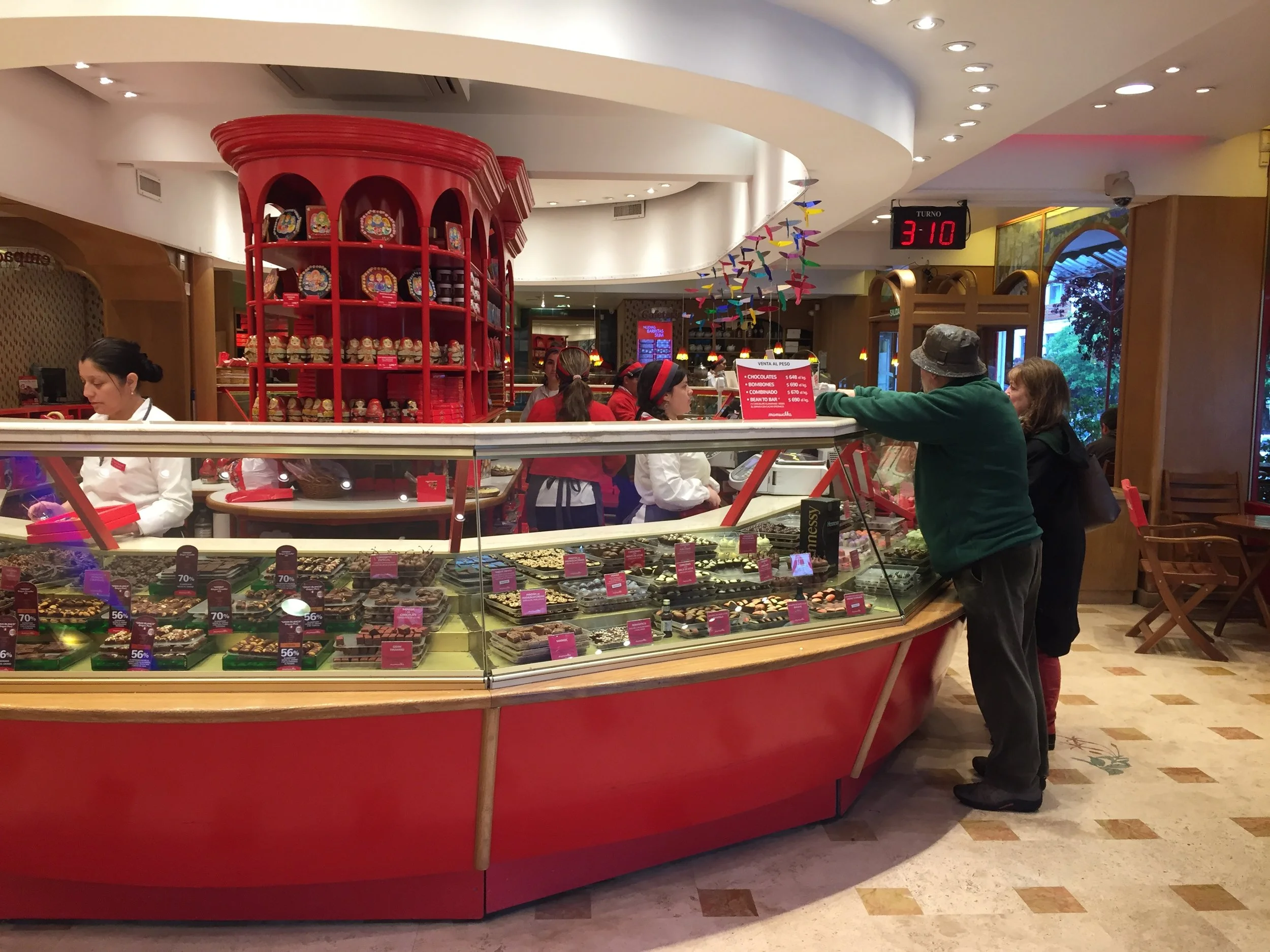
The next day, its raining In the city of Bariloche. We put on our full rainwear and hit the streets with our “to do” list. Get more money, get airplane tickets, purchase a tour, get maps, go grocery shopping, try and fail to get a new Argentina phone chip with another carrier called Movistar, eat some Chocolates of which the city of Bariloche is famous, an industry that started in 1930’s,  and do a little souvenir shopping. Tonight we will have Argentina beef with our new Australian friend Julian who we met in Puerto Varas. Finally it stops raining and the sun breaks out, but it is still windy and cold. The city has a heavy Bavarian influence as the AR government invited Germans, Austrians, French, and Italians to immigrate from Europe in the early 1900’s.

One of the many chocolate shops

One of the many chocolate shops

Coming down the mountain  

Coming down the mountain  

We go to Alto El Fuego, a fancy pants restaurant right at 8.00, when it opened but it is small and booked. We reserve for the next night and take a few short steps before we go back and Janet talks to the host to get a recommendation for an Italian restaurant, another fine cuisine of Argentina. Well, he must have liked Janet because he tells her to wait for 15 minutes in case of no shows. We got a very nice table and ordered the famous “Bife de chorizo”, or thick sirloin, and also “parrilla”, or filla Mignonette. We topped it off with a bottle of AR Malbec wine, and some “chimichurri”, a spicy sauce of garlic,parsley and olive oil. Good conversation and a really nice time. Maybe Julian, who is a new teacher, will visit us some day, we invited him. Ps. Here is a reach out to Stephanie and Hendrik of Austria, we invite you guys too, and Emma and Hazel of NZ/UK.

Argentian steak dinner

Argentian steak dinner

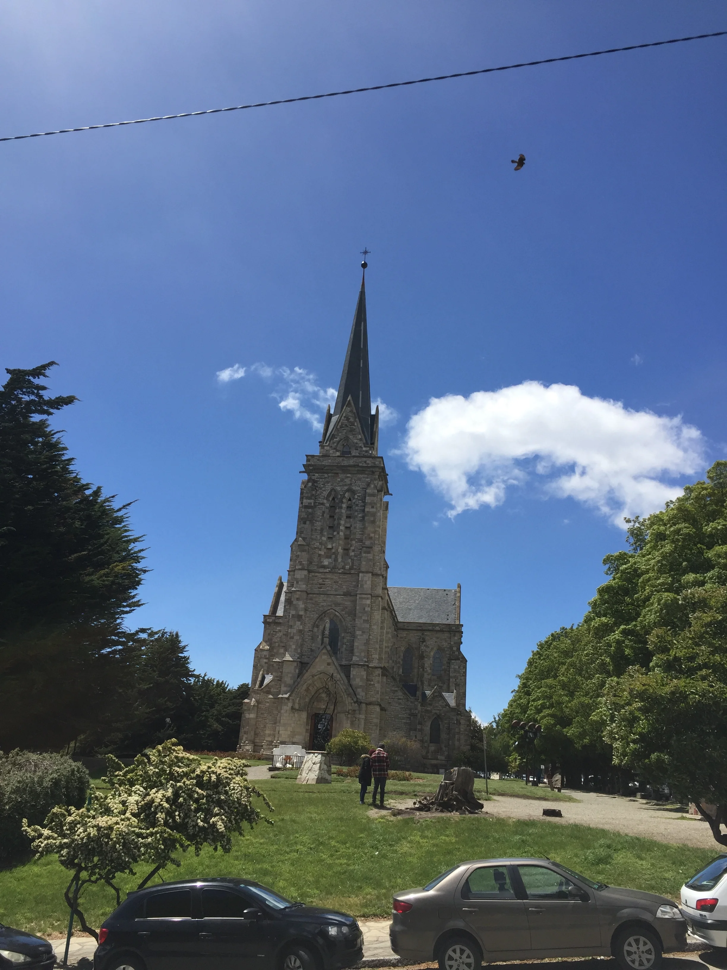
The cathedral   

The cathedral   

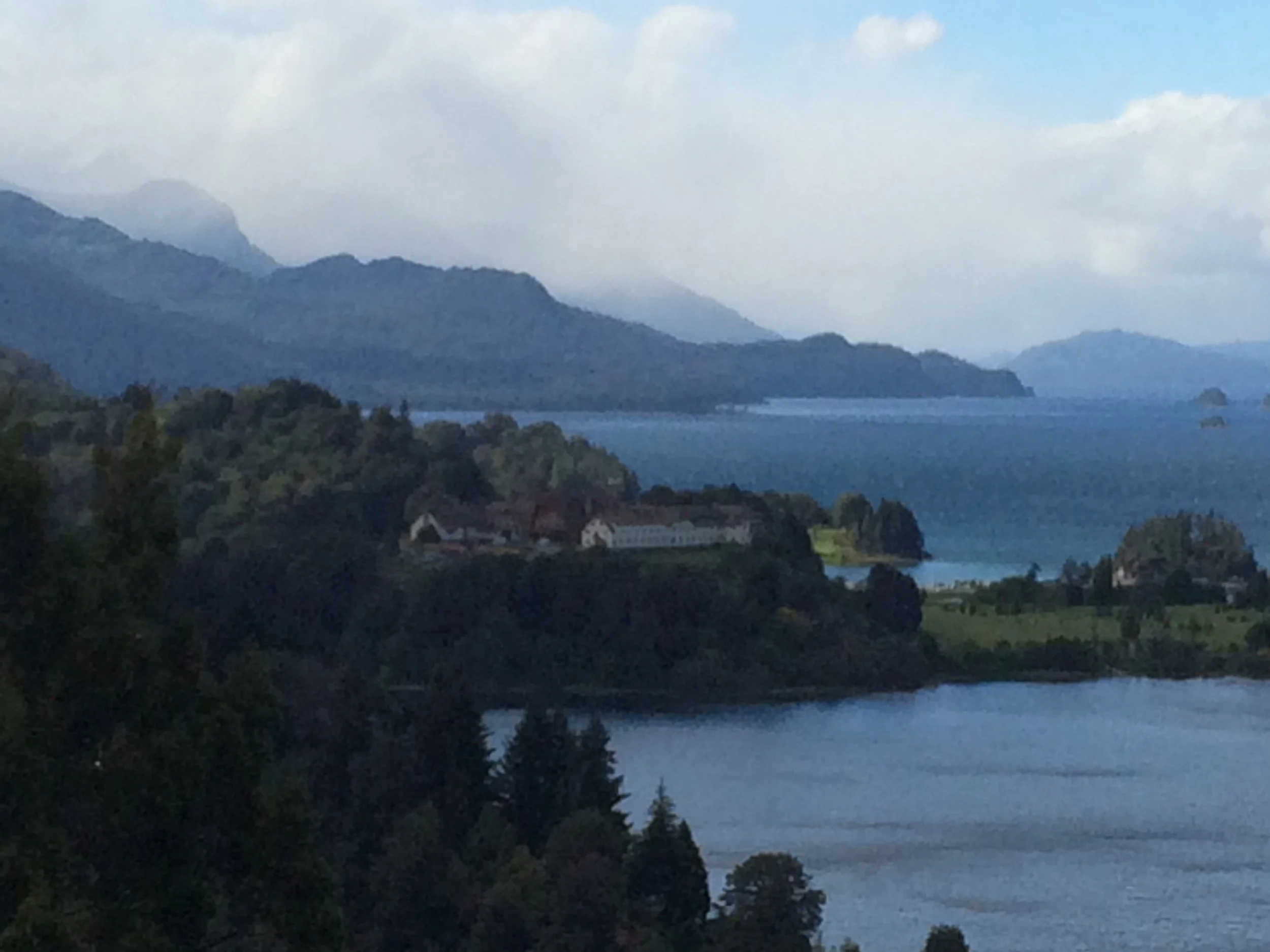
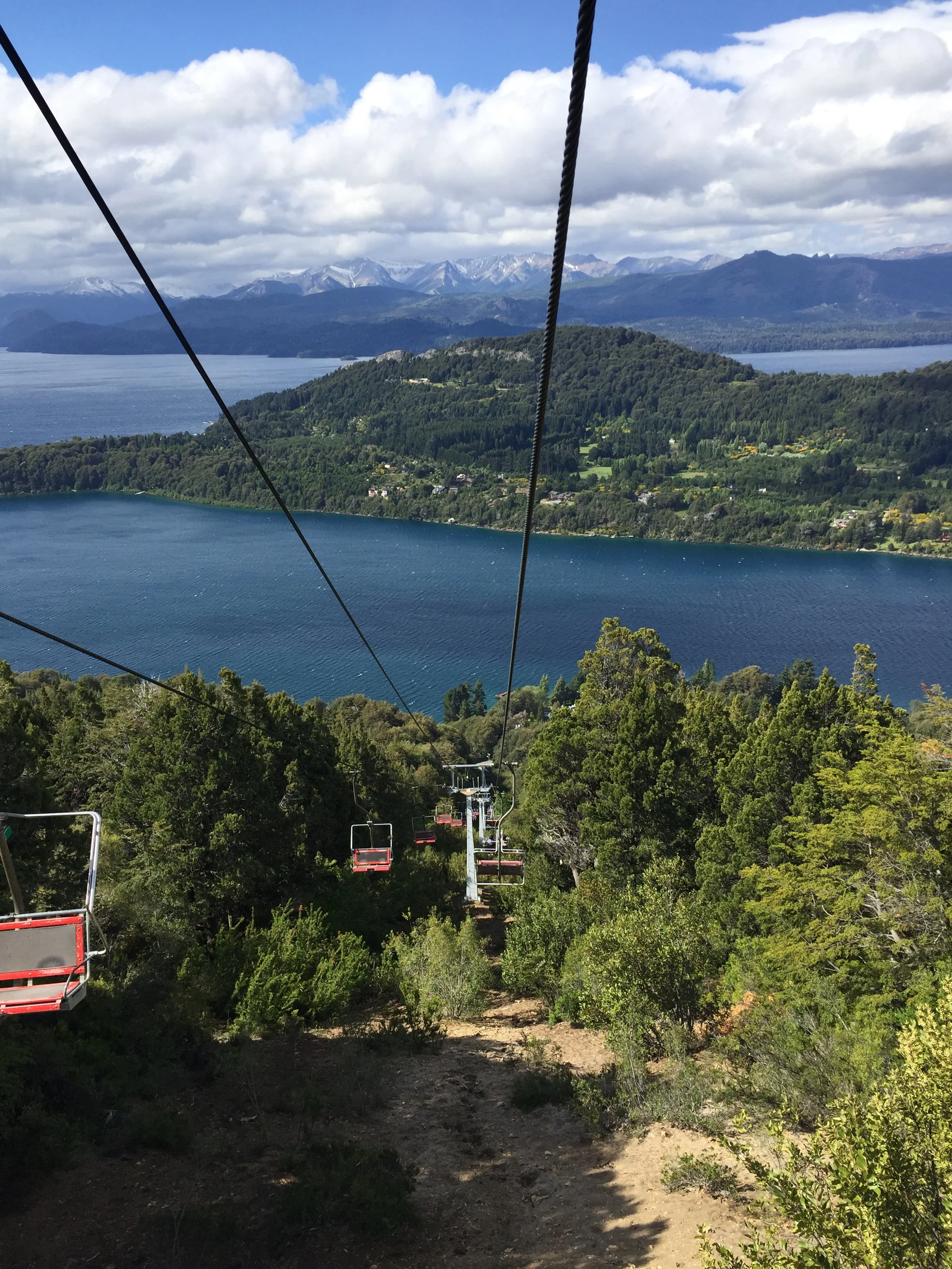
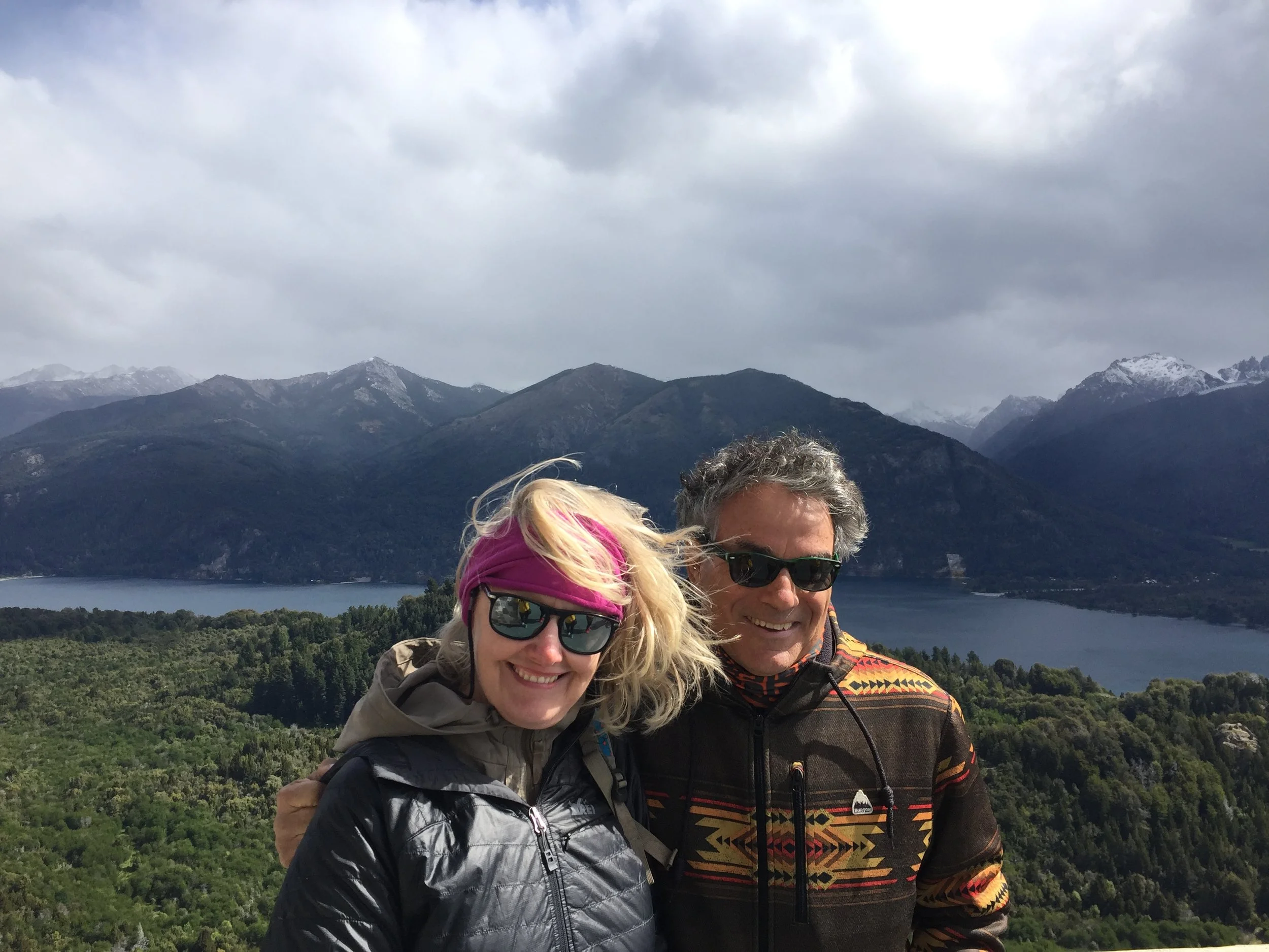
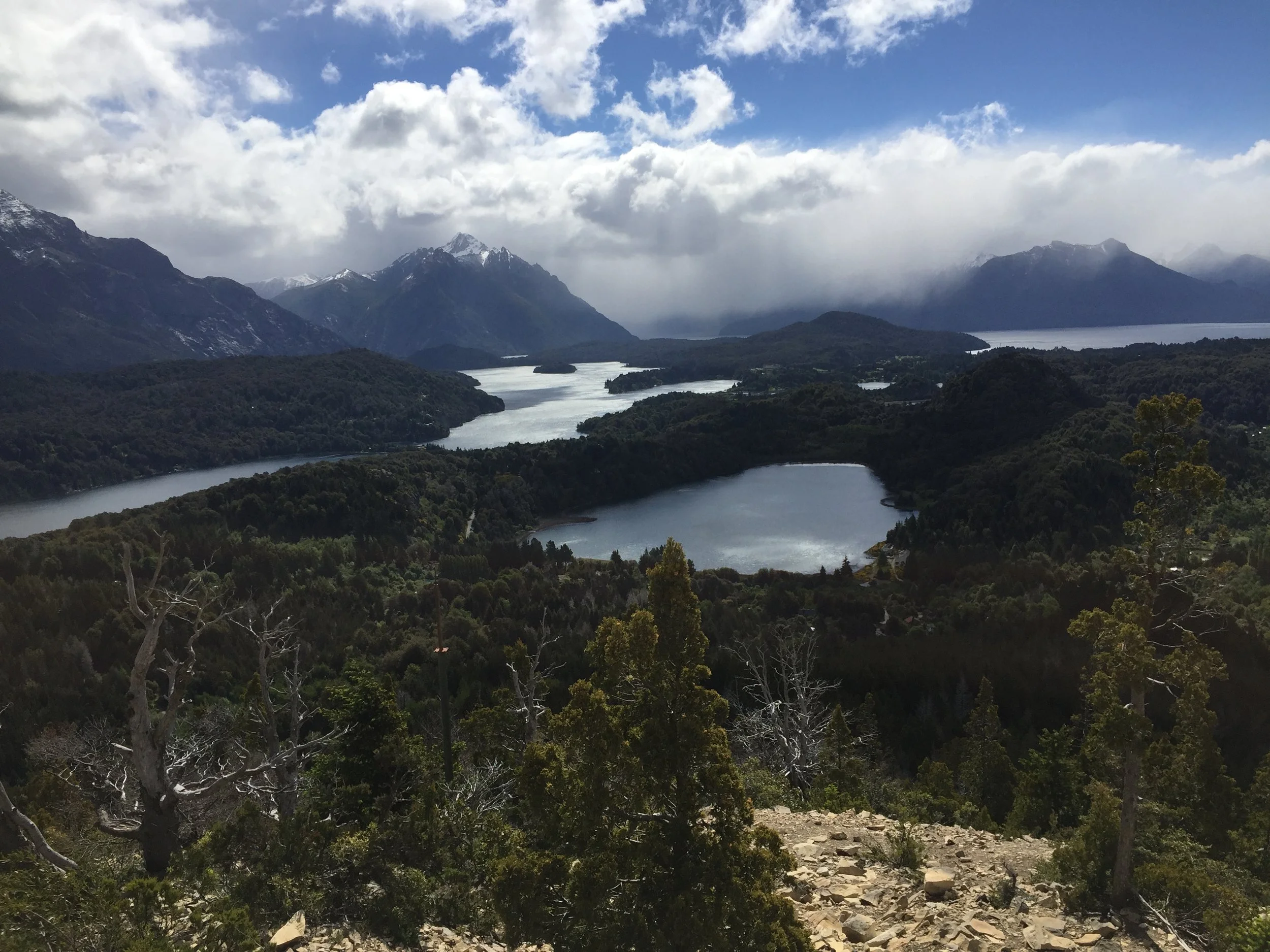
Finally, the weather is grand. We took the half day tour we sought for the past 2 days. Bariloche is the largest city in the Lake District of northern Patagonia. It is bordered by the Pargue National Park. For my buds back home, please note it has some of the world’s best fly fishing, with landlocked salmon and trout introduced by US and Canadian fisheries into Rio Negro. But it is also the world class skiing and mountain trekking that makes this place magnificent. As we rode a ski lift to one of the highest observation points it was clear how beautiful the surrounding mountains and interlocked lakes were. We also saw another wood church, this one more frontier style, and then we drive on a peninsula where a giant grand hotel sits on the lake which looks like the Grand Hotel of Mackinac Island, Michigan. Apparently President Obama stayed there on a diplomatic trip. Our view of Bariloche changed dramatically as we saw the outdoor sights. Before that we thought the central district  was just like Birmingham, Michigan. As well, we were told the AR nuclear technology labs are here. Nice place for scientists. FYI, AR supposedly spent $500 million on failed nuclear fusion development in the 1960’s.       

We hope you enjoy some of our photos.

At the top of the ski hill

At the top of the ski hill

Overlooking the lakes

Overlooking the lakes

The resort the President stayed this past March

The resort the President stayed this past March

Choloe’ Island

The ferry to the island

The ferry to the island

Chiloe' Island is the second largest Island in South American.  It is a 2 hour bus ride from Puerto Varas and only accessible by ferry.  The town we stayed in,  Castro is located in the center of this Long Island and was an additional 2 hours on the bus.

We got our tickets in advance for Choloe’ Island with the intent to see penguins, historic wood churches, and the national park along the coastline. We chose to take a bus then check the tour situation and decide if we should rent a car. I enjoyed driving on Easter Island, but I was not all that keen on driving on the highways of Chile. After arriving at the bus station we  dragged our stuff to the hostel. Surprise! Great hostel with the best internet and fanciest  bathroom we had experienced. The host was very helpful, albeit we had to use google translate, because my Spanish speaking  is bad.

Castro town square church  

Castro town square church  

We went to a recognized tour operator to check on activities. After hearing his ideas & prices we decided renting a car and going it alone would be beneficial. Our host contacted his rental agent who delivered a Chevy with stick the next morning. We paid only $58 US for 24 hours.

The gravel rode to the site

The gravel rode to the site

Frank in the Chevy

Frank in the Chevy

I drove, Janet navigated, and we were off to the west coast of the island to the national park and a famous out of the way place called the Dock of Souls. It was a fun drive with winding roads, down shifting, up shifting, a little traffic. How fast is 100 km any way ? That was the limit the dealer imposed.

View of the Pacific Ocean

View of the Pacific Ocean


When we got to Pacific Ocean on the other side of the island the roadway went gravel. Here is where most buses stop and allow the hikers to hit the trail, but this is a 4 hour trek to and 4 hours back. With the car we could travel the kilometers needed to get close the real trailhead. The drive ran close along the coast of a lake similar to a Great Lake of Michigan, with sand, but also some grass for the numerous horses and cows that grazed along the roadside. At times, especially near the trailhead, the road got really potholed and coarse. 

The ticket office  

The ticket office  

We reached a point where the car was bottoming out too much. We decided to park the car at the side of the road just round the corner and trek to our destination, an artist impression of Dante’s “Dock of Souls”. This site is actually next to the National Park on private property so we had to stop and pay the property owner $1500 per person. He gave us a receipt and we were off and running. We had to show our receipt at several access points, all was good. The trek was very inspiring with views of beautiful green mountains and valleys. As we rose in elevation that is where the the rocky waterfront became visible, with high cliffs, crashing waves, and tiny islands, more like spires, piercing the turbulent water. Finally, as we came over the last hill, we saw the Bridge of Souls that was positioned in such a way that the vision was like a zero edge pool into the lake. It really was the best location with natural beauty galore.

The path to the site with a arrow marking the way

The path to the site with a arrow marking the way

Janet on the hike  

Janet on the hike  

Frank actually walked thIs gang plank, just to say he did. After a brief lunch sitting on the cliff, we headed back down the trail. To our surprise, 3 pieces of heavy construction road graders were now working on the road, only 3 hours too late for us. We reached our car and sat discussing our next trip. It was clear we had started a parking lot where others had decided not to wreck their cars. Another traveler startled us when she knocked on the car window for information. We opined you could get a little further up the road, but not to the the designated parking area due to the road work. They tried and came back before we left as did several other vehicles.


Frank on the Dock of Souls 

Frank on the Dock of Souls


As we rose in elevation that is where the the rocky waterfront became visible, with high cliffs, crashing waves, and tiny islands, more like spires, piercing the turbulent water. Finally, as we came over the last hill, we saw the Dock of Souls that was positioned in such a way that the vision was like a zero edge pool into the lake. It really was the best location with natural beauty galore.


IMG_2466.JPG

The tour guide told us that it was nesting time for the penguins off shore of Chiloe' Island, so most of the 4000 penguins could not be viewed. We decided instead to take a earlier bus and traded our tickets. We got back to one of our favorite towns that just happened to be having a waterfront fair. There as much activity in the streets and there was even a parade of young people participating in a theatric play wearing tree and animal costume. It was all fun to watch and reminded me of those similar fun events back in good ole’ Livonia.

One of the many wooden churches

One of the many wooden churches

The next morning we are off to Argentina and another border crossing.

Traditional fish stew

Traditional fish stew

IMG_3909.JPG